Directions to Knead To Chill (Boston) with public transportation
The following transit lines have routes that pass near Knead To Chill
 Bus: 31, 32, GREYHOUND US0255S, GREYHOUND US0256S, 20.
- Train: VERMONTER, VALLEY FLYER.
How to get to Knead To Chill by bus?
Click on the bus route to see step by step directions with maps, line arrival times and updated time schedules.
How to get to Knead To Chill by train?
Click on the train route to see step by step directions with maps, line arrival times and updated time schedules.
Bus stops near Knead To Chill in Boston
Train station near Knead To Chill in Boston
- Greenfield Amtrak Station, 16 min walk,VIEW
Bus lines to Knead To Chill in Boston
- 20, Jwo Transit Center,VIEW
- 24, Greenfield Community College,VIEW
- 41, Charlemont Via Shelburne/Gcc,VIEW
- 21, Jwo Transit Center,VIEW
- 23, Jwo Transit Center,VIEW
- GREYHOUND US0255S, New York - Springfield - White River JCT,VIEW
- GREYHOUND US0256S, Boston - Fitchburg - New York,VIEW
- 31, Northampton,VIEW
- 32, Orange,VIEW
- PG, Pelham-Greenfield,VIEW
What are the closest stations to Knead To Chill?
The closest stations to Knead To Chill are:
- Main St And Fort Sq is 282 yards away, 4 min walk.
- Greenfield Middle School is 399 yards away, 5 min walk.
- High St And George St is 1008 yards away, 13 min walk.
- Greenfield John Olver Transit Ctr is 1220 yards away, 15 min walk.
- Greenfield Amtrak Station is 1280 yards away, 16 min walk.
Which bus lines stop near Knead To Chill?
These bus lines stop near Knead To Chill: 31, 32, GREYHOUND US0255S, GREYHOUND US0256S.
Which train line stops near Knead To Chill?
VERMONTER (St Albans)
What’s the nearest train station to Knead To Chill in Boston?
The nearest train station to Knead To Chill in Boston is Greenfield Amtrak Station. It’s a 16 min walk away.
What’s the nearest bus station to Knead To Chill in Boston?
The nearest bus station to Knead To Chill in Boston is Main St And Fort Sq. It’s a 4 min walk away.
What time is the first train to Knead To Chill in Boston?
The VALLEY FLYER is the first train that goes to Knead To Chill in Boston. It stops nearby at 6:05 AM.
What time is the last train to Knead To Chill in Boston?
The VALLEY FLYER is the last train that goes to Knead To Chill in Boston. It stops nearby at 10:33 PM.
What time is the first bus to Knead To Chill in Boston?
The 31 is the first bus that goes to Knead To Chill in Boston. It stops nearby at 5:00 AM.
What time is the last bus to Knead To Chill in Boston?
The 23 is the last bus that goes to Knead To Chill in Boston. It stops nearby at 7:45 PM.
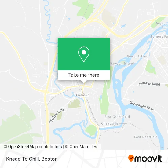
See Knead To Chill, Boston, on the map
Public Transit to Knead To Chill in Boston
Wondering how to get to Knead To Chill in Boston? Moovit helps you find the best way to get to Knead To Chill with step-by-step directions from the nearest public transit station.
Moovit provides free maps and live directions to help you navigate through your city. View schedules, routes, timetables, and find out how long does it take to get to Knead To Chill in real time.
Looking for the nearest stop or station to Knead To Chill? Check out this list of stops closest to your destination: Main St And Fort Sq; Greenfield Middle School; High St And George St; Greenfield John Olver Transit Ctr; Greenfield Amtrak Station.
Bus: 31, 32, GREYHOUND US0255S, GREYHOUND US0256S, 20, 24, 41, 21, 23, PG.Train: VERMONTER, VALLEY FLYER.
Want to see if there’s another route that gets you there at an earlier time? Moovit helps you find alternative routes or times. Get directions from and directions to Knead To Chill easily from the Moovit App or Website.
We make riding to Knead To Chill easy, which is why over 1.7 million users, including users in Boston, trust Moovit as the best app for public transit. You don’t need to download an individual bus app or train app, Moovit is your all-in-one transit app that helps you find the best bus time or train time available.
For information on prices of bus and train, costs and ride fares to Knead To Chill, please check the Moovit app.
Use the app to navigate to popular places including to the airport, hospital, stadium, grocery store, mall, coffee shop, school, college, and university.
Knead To Chill Address: 28 Federal St street in Boston
- The Doc & Witch,
- Balkan Lounge,
- The People's Pint,
- M Johnson David Psyd,
- The Greenfield Grille,
- Professional Medical Billing Plus+,
- Gcet,
- Jebco Realty,
- The Pushkin,
- Greenfield Savings Bank,
- People's United Bank,
- Computer Wares,
- Bank Of New England,
- In Touch Bodywork by Wendy Mooney, LMT,
- Annie Sargent Yolish,
- Barry Auskern Attorney at Law,
- Chance Dance Studio,
- Zraunig Speech & Language Services,
- FCCVP Nelcwit,
- Casimira Hypnotherapy & Soul Journeying
Places Near Knead To Chill (Boston)
- Leader Bank Pavilion (Leader Bank Pavillion), Boston,
- Seaport District, Boston,
- Boston Convention & Exhibition Center, Boston,
- Boston Common, Boston,
- Td Garden, Boston,
- Cheers, Boston,
- Quincy Market, Boston,
- North End, Boston,
- Faneuil Hall, Boston,
- Isabella Stewart Gardner Museum, Boston,
- Wang Theater, Boston,
- Museum Of Science, Boston,
- Mgm Music Hall, Boston,
- Boston Children's Hospital, Boston,
- Boston Medical Center, Boston,
- Castle Island, Boston,
- Prudential Center, Boston,
- Wilbur Theatre, Boston,
- Massachusetts General Hospital, Boston,
- House Of Blues, Boston
How to get to popular places in Boston with public transit
Get around Boston by public transit!
Traveling around Boston has never been so easy. See step by step directions as you travel to any attraction, street or major public transit station. View bus and train schedules, arrival times, service alerts and detailed routes on a map, so you know exactly how to get to anywhere in Boston.
When traveling to any destination around Boston use Moovit's Live Directions with Get Off Notifications to know exactly where and how far to walk, how long to wait for your line, and how many stops are left. Moovit will alert you when it's time to get off — no need to constantly re-check whether yours is the next stop.
Wondering how to use public transit in Boston or how to pay for public transit in Boston? Moovit public transit app can help you navigate your way with public transit easily, and at minimum cost. It includes public transit fees, ticket prices, and costs. Looking for a map of Boston public transit lines? Moovit public transit app shows all public transit maps in Boston with all Bus, Train, Subway and Ferry routes and stops on an interactive map.
Boston has 4 transit type(s), including: Bus, Train, Subway and Ferry, operated by several transit agencies, including MBTA, Southeastern Regional Transit Authority, MetroWest Regional Transit Authority, Rhode Island Public Transit Authority, WRTA, Lowell Regional Transit Authority, Merrimack Valley Transit, Montachusett Regional Transit Authority, Cape Cod Regional Transit Authority, Brockton Area Transit Authority, Martha's Vineyard Transit Authority, the WAVE - Nantucket Regional Transit Authority, GATRA, Cape Ann Transportation Authority and Massport