How to get to Knighthawk Industries -Computers And Electronics by bus?
Click on the bus route to see step by step directions with maps, line arrival times and updated time schedules.
Bus stop near Knighthawk Industries -Computers And Electronics in Boston
- Rhode Island Mall, 13 min walk,VIEW
Bus lines to Knighthawk Industries -Computers And Electronics in Boston
What are the closest stations to Knighthawk Industries -Computers And Electronics?
The closest stations to Knighthawk Industries -Computers And Electronics are:
- Rhode Island Mall is 1016 yards away, 13 min walk.
Which bus lines stop near Knighthawk Industries -Computers And Electronics?
These bus lines stop near Knighthawk Industries -Computers And Electronics: 13, 21, 22, 30.
What’s the nearest bus station to Knighthawk Industries -Computers And Electronics in Boston?
The nearest bus station to Knighthawk Industries -Computers And Electronics in Boston is Rhode Island Mall. It’s a 13 min walk away.
What time is the first bus to Knighthawk Industries -Computers And Electronics in Boston?
The 13 is the first bus that goes to Knighthawk Industries -Computers And Electronics in Boston. It stops nearby at 5:57 AM.
What time is the last bus to Knighthawk Industries -Computers And Electronics in Boston?
The 21 is the last bus that goes to Knighthawk Industries -Computers And Electronics in Boston. It stops nearby at 10:47 PM.
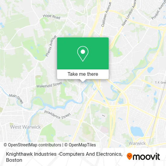
See Knighthawk Industries -Computers And Electronics, Boston, on the map
Public Transit to Knighthawk Industries -Computers And Electronics in Boston
Wondering how to get to Knighthawk Industries -Computers And Electronics in Boston? Moovit helps you find the best way to get to Knighthawk Industries -Computers And Electronics with step-by-step directions from the nearest public transit station.
Moovit provides free maps and live directions to help you navigate through your city. View schedules, routes, timetables, and find out how long does it take to get to Knighthawk Industries -Computers And Electronics in real time.
Looking for the nearest stop or station to Knighthawk Industries -Computers And Electronics? Check out this list of stops closest to your destination: Rhode Island Mall.
Bus: 13, 21, 22, 30.
Want to see if there’s another route that gets you there at an earlier time? Moovit helps you find alternative routes or times. Get directions from and directions to Knighthawk Industries -Computers And Electronics easily from the Moovit App or Website.
We make riding to Knighthawk Industries -Computers And Electronics easy, which is why over 1.7 million users, including users in Boston, trust Moovit as the best app for public transit. You don’t need to download an individual bus app or train app, Moovit is your all-in-one transit app that helps you find the best bus time or train time available.
For information on prices of bus, costs and ride fares to Knighthawk Industries -Computers And Electronics, please check the Moovit app.
Use the app to navigate to popular places including to the airport, hospital, stadium, grocery store, mall, coffee shop, school, college, and university.
Knighthawk Industries -Computers And Electronics Address: 66 Aster St street in Boston
- Works Auto & Marine Services,
- Giovannis Auto Sales,
- Bouk Cash for Junk Cars Rhode Island,
- Diversified Auto Repair,
- Roger's Auto E.R.,
- Team Diesel,
- Super Shine Auto Detai,
- K&D Automotive Repair,
- MKCT Enterprises,
- Garage Door Opener Repair,
- Slums of Shaolin,
- Fred's Autohaus, Inc.,
- Tropical Transport,
- Lovements,
- Psychological Asso,
- Cirolo Dabormida,
- Father Tirrochi Field,
- Eunoia,
- RTP Roofing of Rhode Island - Windows,
- East Natick Veterans Athletic Association
Places Near Knighthawk Industries -Computers And Electronics (Boston)
- Td Garden, Boston,
- Prudential Center, Boston,
- Boston Medical Center, Boston,
- Quincy Market, Boston,
- Boston Convention & Exhibition Center, Boston,
- Castle Island, Boston,
- Boston Children's Hospital, Boston,
- Faneuil Hall, Boston,
- Seaport District, Boston,
- Leader Bank Pavilion (Leader Bank Pavillion), Boston,
- North End, Boston,
- Mgm Music Hall, Boston,
- Cheers, Boston,
- Wang Theater, Boston,
- Isabella Stewart Gardner Museum, Boston,
- Boston Common, Boston,
- Wilbur Theatre, Boston,
- Massachusetts General Hospital, Boston,
- House Of Blues, Boston,
- Museum Of Science, Boston
How to get to popular places in Boston with public transit
Get around Boston by public transit!
Traveling around Boston has never been so easy. See step by step directions as you travel to any attraction, street or major public transit station. View bus and train schedules, arrival times, service alerts and detailed routes on a map, so you know exactly how to get to anywhere in Boston.
When traveling to any destination around Boston use Moovit's Live Directions with Get Off Notifications to know exactly where and how far to walk, how long to wait for your line, and how many stops are left. Moovit will alert you when it's time to get off — no need to constantly re-check whether yours is the next stop.
Wondering how to use public transit in Boston or how to pay for public transit in Boston? Moovit public transit app can help you navigate your way with public transit easily, and at minimum cost. It includes public transit fees, ticket prices, and costs. Looking for a map of Boston public transit lines? Moovit public transit app shows all public transit maps in Boston with all Bus, Train, Subway and Ferry routes and stops on an interactive map.
Boston has 4 transit type(s), including: Bus, Train, Subway and Ferry, operated by several transit agencies, including MBTA, Southeastern Regional Transit Authority, MetroWest Regional Transit Authority, Rhode Island Public Transit Authority, WRTA, Lowell Regional Transit Authority, Merrimack Valley Transit, Montachusett Regional Transit Authority, Cape Cod Regional Transit Authority, Brockton Area Transit Authority, Martha's Vineyard Transit Authority, the WAVE - Nantucket Regional Transit Authority, GATRA, Cape Ann Transportation Authority and Massport