How to get to Labcorp by bus?
Click on the bus route to see step by step directions with maps, line arrival times and updated time schedules.
From Miami Arts Studio (Zelda Glazer), Kendale Lakes-Tamiami
89 minFrom Martinez Distributors, Kendale Lakes-Tamiami
54 minFrom Palmetto High School, Kendall-Palmetto Bay
72 minFrom Herbert Ammons Middle School, Kendale Lakes-Tamiami
57 minFrom South Miami Hospital, Miami
51 minFrom SW 122 Ave & Coral Way, Kendale Lakes-Tamiami
82 minFrom Westchester Miami Dade County FL USA, South Westside
82 minFrom Falls (Mall), Kendall-Palmetto Bay
51 minFrom South Miami Hospital Victor E. Clark Building, Miami
48 minFrom Baptist Health South Florida South Miami Hospital, Miami
59 min
Bus stop near Labcorp in Kendale Lakes-Tamiami
- Sw 88 St@sw 117 Av, 12 min walk,VIEW
Bus lines to Labcorp in Kendale Lakes-Tamiami
What are the closest stations to Labcorp?
The closest stations to Labcorp are:
- Sw 88 St@sw 117 Av is 980 yards away, 12 min walk.
Which bus lines stop near Labcorp?
These bus lines stop near Labcorp: 288, 88.
What’s the nearest bus station to Labcorp in Kendale Lakes-Tamiami?
The nearest bus station to Labcorp in Kendale Lakes-Tamiami is Sw 88 St@sw 117 Av. It’s a 12 min walk away.
What time is the first bus to Labcorp in Kendale Lakes-Tamiami?
The 88 is the first bus that goes to Labcorp in Kendale Lakes-Tamiami. It stops nearby at 5:27 AM.
What time is the last bus to Labcorp in Kendale Lakes-Tamiami?
The 88 is the last bus that goes to Labcorp in Kendale Lakes-Tamiami. It stops nearby at 1:20 AM.
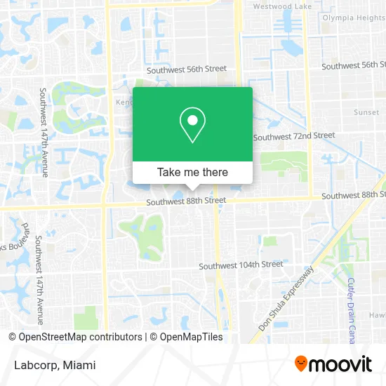
See Labcorp, Kendale Lakes-Tamiami, on the map
Public Transit to Labcorp in Kendale Lakes-Tamiami
Wondering how to get to Labcorp in Kendale Lakes-Tamiami? Moovit helps you find the best way to get to Labcorp with step-by-step directions from the nearest public transit station.
Moovit provides free maps and live directions to help you navigate through your city. View schedules, routes, timetables, and find out how long does it take to get to Labcorp in real time.
Looking for the nearest stop or station to Labcorp? Check out this list of stops closest to your destination: Sw 88 St@sw 117 Av.
Bus: 288, 88.
Want to see if there’s another route that gets you there at an earlier time? Moovit helps you find alternative routes or times. Get directions from and directions to Labcorp easily from the Moovit App or Website.
We make riding to Labcorp easy, which is why over 1.7 million users, including users in Kendale Lakes-Tamiami, trust Moovit as the best app for public transit. You don’t need to download an individual bus app or train app, Moovit is your all-in-one transit app that helps you find the best bus time or train time available.
For information on prices of bus and train, costs and ride fares to Labcorp, please check the Moovit app.
Use the app to navigate to popular places including to the airport, hospital, stadium, grocery store, mall, coffee shop, school, college, and university.
Labcorp Address: 8501 SW 124th Ave Ste 207 street in Kendale Lakes-Tamiami
- Advanced Center For Cosmetic And Implant Dentistry,
- Le Air Duct Cleaning Experts,
- On the Run Vegan,
- Leon Medical Centers - Kendall,
- Jared Jewelers,
- Nova Southeastern University - Miami Campus,
- Goodwill,
- Rw Dombrosky Associates, Inc.,
- Beyond Beauty Plastic Surgery,
- Orthopedic & Laser Spine Surgery (Miami),
- Zion Plastic Surgery,
- Kendall Village Homes,
- Vetco Vaccination Clinic,
- First Watch,
- Rent 1 Sale 1 Realty,
- Sylvan Learning,
- Petsmart,
- Resin Coat Pro,
- Shred Nations,
- Trueway Sell My House Fast Miami
Places Near Labcorp (Kendale Lakes-Tamiami)
- Richard E. Gerstein Justice Building, Miami,
- Brickell City Centre, Miami,
- Little Havana, Miami,
- Miami Freedom Park, Miami,
- Zoo Miami, Miami,
- Wynwood, Miami,
- Keiser University Flagship Campus, West Palm Beach,
- Sawgrass mall ( FL ), Miami Beach,
- Miami-Dade County Courthouse, Miami,
- Aventura Mall, Miami,
- Dolphin Mall, Miami,
- Miami Design District, Miami,
- Aventura Mall, Miami Beach,
- Bayside Marketplace, Miami,
- Hard Rock Stadium, Miami Gardens,
- Port of Miami Cruise Terminal, Miami,
- Marlins Park, Miami,
- Dolphin Mall Bus, Miami,
- Sawgrass Mall, Miami,
- Miami VA Hospital, Miami
How to get to popular places in Miami with public transit
Get around Kendale Lakes-Tamiami by public transit!
Traveling around Kendale Lakes-Tamiami has never been so easy. See step by step directions as you travel to any attraction, street or major public transit station. View bus and train schedules, arrival times, service alerts and detailed routes on a map, so you know exactly how to get to anywhere in Kendale Lakes-Tamiami.
When traveling to any destination around Kendale Lakes-Tamiami use Moovit's Live Directions with Get Off Notifications to know exactly where and how far to walk, how long to wait for your line, and how many stops are left. Moovit will alert you when it's time to get off — no need to constantly re-check whether yours is the next stop.
Wondering how to use public transit in Kendale Lakes-Tamiami or how to pay for public transit in Kendale Lakes-Tamiami? Moovit public transit app can help you navigate your way with public transit easily, and at minimum cost. It includes public transit fees, ticket prices, and costs. Looking for a map of Kendale Lakes-Tamiami public transit lines? Moovit public transit app shows all public transit maps in Kendale Lakes-Tamiami with all Bus, Train, Light Rail and Ferry routes and stops on an interactive map.
Miami has 4 transit type(s), including: Bus, Train, Light Rail and Ferry, operated by several transit agencies, including Broward County Transit, Miami-Dade Transit, Metrorail, Palm Tran, Tri-Rail, Brightline, MARTY, City of Homestead Trolley, Key West Transit, Treasure Coast Connector, GoLine IRT, Amtrak, Greyhound-us, FlixBus-us and Aventura Express Shuttle Bus