How to get to Lane County Diaper Bank by bus?
Click on the bus route to see step by step directions with maps, line arrival times and updated time schedules.
From Polar Park, Worcester
124 minFrom Palladium, Worcester
127 minFrom Registry Of Motor Vehicles (Rmv) Branch Office, Worcester
126 minFrom Dcu Center, Worcester
124 minFrom Worcester, MA, Worcester
122 minFrom Walmart Supercenter, Worcester
181 minFrom Foxwoods, Worcester
152 minFrom South High Community School, Worcester
219 min
Bus stop near Lane County Diaper Bank in Boston
- Island Pond / Roosevelt, 7 min walk,VIEW
Bus lines to Lane County Diaper Bank in Boston
- X92, Memorial Industrial Park Via Senior Center And Roosevelt,VIEW
What are the closest stations to Lane County Diaper Bank?
The closest stations to Lane County Diaper Bank are:
- Island Pond / Roosevelt is 522 yards away, 7 min walk.
Which bus lines stop near Lane County Diaper Bank?
These bus lines stop near Lane County Diaper Bank: G1, X92.
What’s the nearest bus station to Lane County Diaper Bank in Boston?
The nearest bus station to Lane County Diaper Bank in Boston is Island Pond / Roosevelt. It’s a 7 min walk away.
What time is the first bus to Lane County Diaper Bank in Boston?
The X92 is the first bus that goes to Lane County Diaper Bank in Boston. It stops nearby at 6:14 AM.
What time is the last bus to Lane County Diaper Bank in Boston?
The X92 is the last bus that goes to Lane County Diaper Bank in Boston. It stops nearby at 6:18 PM.
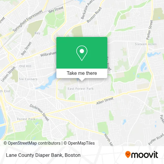
See Lane County Diaper Bank, Boston, on the map
Public Transit to Lane County Diaper Bank in Boston
Wondering how to get to Lane County Diaper Bank in Boston? Moovit helps you find the best way to get to Lane County Diaper Bank with step-by-step directions from the nearest public transit station.
Moovit provides free maps and live directions to help you navigate through your city. View schedules, routes, timetables, and find out how long does it take to get to Lane County Diaper Bank in real time.
Looking for the nearest stop or station to Lane County Diaper Bank? Check out this list of stops closest to your destination: Island Pond / Roosevelt.
Bus: G1, X92.
Want to see if there’s another route that gets you there at an earlier time? Moovit helps you find alternative routes or times. Get directions from and directions to Lane County Diaper Bank easily from the Moovit App or Website.
We make riding to Lane County Diaper Bank easy, which is why over 1.7 million users, including users in Boston, trust Moovit as the best app for public transit. You don’t need to download an individual bus app or train app, Moovit is your all-in-one transit app that helps you find the best bus time or train time available.
For information on prices of bus, costs and ride fares to Lane County Diaper Bank, please check the Moovit app.
Use the app to navigate to popular places including to the airport, hospital, stadium, grocery store, mall, coffee shop, school, college, and university.
Lane County Diaper Bank Address: Mailing only street in Boston
- TMR Mason Contractors,
- Blugirlart,
- East Forest Park,
- Island Pond,
- Pope Francis Preparatory School,
- Dairy Mart Convenience Stores,
- Dominic's Pizzeria & Restaurant,
- Mezzaluna Pizzeria,
- Sporting Edge Marketing,
- Mayflower Senior Center,
- Holy Cross Rectory,
- Lularoe Jenn Tousignan,
- Mary A. Dryden Veterans Memorial School,
- Jantize,
- Frederick Harris School,
- Garvey Promontory,
- Lombardi Rita,
- Murphy - AVIS at Home Care,
- Bill Playground,
- Destiny Press
Places Near Lane County Diaper Bank (Boston)
- Leader Bank Pavilion (Leader Bank Pavillion), Boston,
- Boston Medical Center, Boston,
- Seaport District, Boston,
- Faneuil Hall, Boston,
- Boston Convention & Exhibition Center, Boston,
- Isabella Stewart Gardner Museum, Boston,
- Massachusetts General Hospital, Boston,
- Quincy Market, Boston,
- Prudential Center, Boston,
- Castle Island, Boston,
- Mgm Music Hall, Boston,
- Boston Children's Hospital, Boston,
- Wilbur Theatre, Boston,
- Museum Of Science, Boston,
- Wang Theater, Boston,
- Td Garden, Boston,
- Cheers, Boston,
- Boston Common, Boston,
- North End, Boston,
- House Of Blues, Boston
How to get to popular places in Boston with public transit
Get around Boston by public transit!
Traveling around Boston has never been so easy. See step by step directions as you travel to any attraction, street or major public transit station. View bus and train schedules, arrival times, service alerts and detailed routes on a map, so you know exactly how to get to anywhere in Boston.
When traveling to any destination around Boston use Moovit's Live Directions with Get Off Notifications to know exactly where and how far to walk, how long to wait for your line, and how many stops are left. Moovit will alert you when it's time to get off — no need to constantly re-check whether yours is the next stop.
Wondering how to use public transit in Boston or how to pay for public transit in Boston? Moovit public transit app can help you navigate your way with public transit easily, and at minimum cost. It includes public transit fees, ticket prices, and costs. Looking for a map of Boston public transit lines? Moovit public transit app shows all public transit maps in Boston with all Bus, Train, Subway and Ferry routes and stops on an interactive map.
Boston has 4 transit type(s), including: Bus, Train, Subway and Ferry, operated by several transit agencies, including MBTA, Southeastern Regional Transit Authority, MetroWest Regional Transit Authority, Rhode Island Public Transit Authority, WRTA, Lowell Regional Transit Authority, Merrimack Valley Transit, Montachusett Regional Transit Authority, Cape Cod Regional Transit Authority, Brockton Area Transit Authority, Martha's Vineyard Transit Authority, the WAVE - Nantucket Regional Transit Authority, GATRA, Cape Ann Transportation Authority and Massport