How to get to Las Crepas by bus?
Click on the bus route to see step by step directions with maps, line arrival times and updated time schedules.
From Gimnasio Olímpico, Aguascalientes
49 minFrom Ruta 7, Aguascalientes
55 minFrom Glorieta El Quijote, Aguascalientes
29 minFrom Fraccionamiento Casasolida, Aguascalientes
55 minFrom 2 de Octubre, Aguascalientes
82 minFrom Calle Francisco Javier Mina, Aguascalientes
55 minFrom Fracc. Periodistas, Aguascalientes
53 minFrom fracc villa las palmas, Aguascalientes
57 minFrom Peñuelas, Aguascalientes
38 minFrom Fracc. Morelos I, Aguascalientes
48 min
Bus stops near Las Crepas in Aguascalientes
Bus lines to Las Crepas in Aguascalientes
What are the closest stations to Las Crepas?
The closest stations to Las Crepas are:
- Boulevard Luis Donaldo Colosio Murrieta, 318 is 190 meters away, 3 min walk.
- Avenida Aguascalientes Norte, 600 is 644 meters away, 9 min walk.
- Avenida Aguascalientes Norte, 130 is 745 meters away, 10 min walk.
- Avenida Independencia, 1862 is 757 meters away, 10 min walk.
- Avenida Independencia, 2351 is 775 meters away, 10 min walk.
Which bus lines stop near Las Crepas?
These bus lines stop near Las Crepas: RUTA 18, RUTA 35, RUTA 40.
What’s the nearest bus station to Las Crepas in Aguascalientes?
The nearest bus station to Las Crepas in Aguascalientes is Boulevard Luis Donaldo Colosio Murrieta, 318. It’s a 3 min walk away.
What time is the first bus to Las Crepas in Aguascalientes?
The RUTA 40 is the first bus that goes to Las Crepas in Aguascalientes. It stops nearby at 6:03 AM.
What time is the last bus to Las Crepas in Aguascalientes?
The RUTA 10 is the last bus that goes to Las Crepas in Aguascalientes. It stops nearby at 10:14 PM.
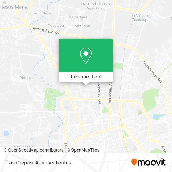
See Las Crepas, Aguascalientes, on the map
Public Transit to Las Crepas in Aguascalientes
Wondering how to get to Las Crepas in Aguascalientes? Moovit helps you find the best way to get to Las Crepas with step-by-step directions from the nearest public transit station.
Moovit provides free maps and live directions to help you navigate through your city. View schedules, routes, timetables, and find out how long does it take to get to Las Crepas in real time.
Looking for the nearest stop or station to Las Crepas? Check out this list of stops closest to your destination: Boulevard Luis Donaldo Colosio Murrieta; Avenida Aguascalientes Norte; Avenida Aguascalientes Norte; Avenida Independencia; Avenida Independencia.
Bus: RUTA 18, RUTA 35, RUTA 40, RUTA 45, RUTA 30, RUTA 10, RUTA 06.
Want to see if there’s another route that gets you there at an earlier time? Moovit helps you find alternative routes or times. Get directions from and directions to Las Crepas easily from the Moovit App or Website.
We make riding to Las Crepas easy, which is why over 1.5 million users, including users in Aguascalientes, trust Moovit as the best app for public transit. You don’t need to download an individual bus app or train app, Moovit is your all-in-one transit app that helps you find the best bus time or train time available.
For information on prices of bus, costs and ride fares to Las Crepas, please check the Moovit app.
Use the app to navigate to popular places including to the airport, hospital, stadium, grocery store, mall, coffee shop, school, college, and university.
Las Crepas Address: Calle Montes Himalaya 513, Fraccionamiento Los Bosques, 20120 Aguascalientes, Aguascalientes street in Aguascalientes
- Premier Sneaker Gallery,
- Optica San Marcos,
- Puerta del Mar,
- Tienda de Ropa Ceuta Collection,
- Forza Corporativo Juridico,
- Om Sole,
- Plaza Las Pergolas,
- Templo de Nuestra Señora de los Bosques,
- Prolongación Zaragoza 201,
- Neurokids Programas de Estimulación Neurológica,
- Tienda de Decoración Tere Martínez,
- Danz Arte,
- Turismo La Gran Vía,
- Venta de Artículos de Danza Danz-Arte,
- Venta Sillas y Telefonos Oficina Admva. Ides Comercializadora,
- Spatucan - Veterinaria Aguascalientes,
- Perfection,
- Comercio al por Menor de Disfraces, vestimenta Regional y Vestidos de Novia,
- Blossom Boutique,
- Selfie
Places Near Las Crepas (Aguascalientes)
- Agropecuario, Aguascalientes,
- Aeropuerto de Aguascalientes S.A. de C.V., Aguascalientes,
- Imss Clinica 1, Aguascalientes,
- La Isla San Marcos, Aguascalientes,
- Ciudad industrial, Aguascalientes,
- Isla San Marcos, Aguascalientes,
- ESPACIOS, Aguascalientes,
- Hospital Imss No. 3, Aguascalientes,
- Nuevo Hospital Hidalgo, Aguascalientes,
- Jesús María, Aguascalientes,
- Universidad Autónoma de Aguascalientes, Aguascalientes,
- Villas de Nuestra Señora de la Asunción, Aguascalientes,
- Centro Comercial Altaria, Aguascalientes,
- Villasuncion, Aguascalientes,
- Blvd. Luis Donaldo Colosio, Aguascalientes,
- Central De Autobuses, Aguascalientes,
- Centro, Aguascalientes,
- Parque Las Tres Centurias, Aguascalientes,
- clinica 3 uaa, Aguascalientes,
- Terminal De Combis, Aguascalientes
How to get to popular places in Aguascalientes with public transit
Get around Aguascalientes by public transit!
Traveling around Aguascalientes has never been so easy. See step by step directions as you travel to any attraction, street or major public transit station. View bus and train schedules, arrival times, service alerts and detailed routes on a map, so you know exactly how to get to anywhere in Aguascalientes.
When traveling to any destination around Aguascalientes use Moovit's Live Directions with Get Off Notifications to know exactly where and how far to walk, how long to wait for your line, and how many stops are left. Moovit will alert you when it's time to get off — no need to constantly re-check whether yours is the next stop.
Wondering how to use public transit in Aguascalientes or how to pay for public transit in Aguascalientes? Moovit public transit app can help you navigate your way with public transit easily, and at minimum cost. It includes public transit fees, ticket prices, and costs. Looking for a map of Aguascalientes public transit lines? Moovit public transit app shows all public transit maps in Aguascalientes with all bus routes and stops on an interactive map.
Aguascalientes has 1 transit type(s), including: bus, operated by several transit agencies, including Coordinación General de Movilidad