How to get to Laura Fishpaw, Fnp by bus?
Click on the bus route to see step by step directions with maps, line arrival times and updated time schedules.
Bus stop near Laura Fishpaw, Fnp in Boston
- Evergreen Health Center, 6 min walk,VIEW
Bus lines to Laura Fishpaw, Fnp in Boston
- 34, Seekonk Sq (Mass) Via Wampanoag Plaza,VIEW
What are the closest stations to Laura Fishpaw, Fnp?
The closest stations to Laura Fishpaw, Fnp are:
- Evergreen Health Center is 436 yards away, 6 min walk.
Which bus lines stop near Laura Fishpaw, Fnp?
These bus lines stop near Laura Fishpaw, Fnp: 33, 34.
What’s the nearest bus station to Laura Fishpaw, Fnp in Boston?
The nearest bus station to Laura Fishpaw, Fnp in Boston is Evergreen Health Center. It’s a 6 min walk away.
What time is the first bus to Laura Fishpaw, Fnp in Boston?
The 34 is the first bus that goes to Laura Fishpaw, Fnp in Boston. It stops nearby at 6:25 AM.
What time is the last bus to Laura Fishpaw, Fnp in Boston?
The 34 is the last bus that goes to Laura Fishpaw, Fnp in Boston. It stops nearby at 9:11 PM.
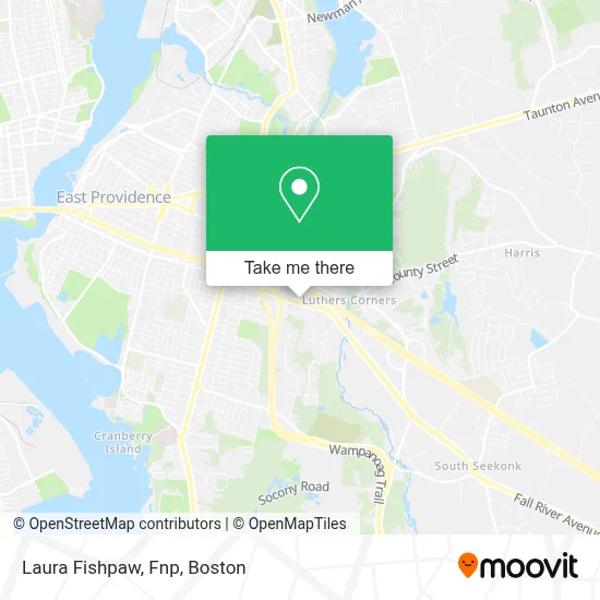
See Laura Fishpaw, Fnp, Boston, on the map
Public Transit to Laura Fishpaw, Fnp in Boston
Wondering how to get to Laura Fishpaw, Fnp in Boston? Moovit helps you find the best way to get to Laura Fishpaw, Fnp with step-by-step directions from the nearest public transit station.
Moovit provides free maps and live directions to help you navigate through your city. View schedules, routes, timetables, and find out how long does it take to get to Laura Fishpaw, Fnp in real time.
Looking for the nearest stop or station to Laura Fishpaw, Fnp? Check out this list of stops closest to your destination: Evergreen Health Center.
Bus: 33, 34.
Want to see if there’s another route that gets you there at an earlier time? Moovit helps you find alternative routes or times. Get directions from and directions to Laura Fishpaw, Fnp easily from the Moovit App or Website.
We make riding to Laura Fishpaw, Fnp easy, which is why over 1.7 million users, including users in Boston, trust Moovit as the best app for public transit. You don’t need to download an individual bus app or train app, Moovit is your all-in-one transit app that helps you find the best bus time or train time available.
For information on prices of bus and train, costs and ride fares to Laura Fishpaw, Fnp, please check the Moovit app.
Use the app to navigate to popular places including to the airport, hospital, stadium, grocery store, mall, coffee shop, school, college, and university.
Laura Fishpaw, Fnp Address: 900 Warren Ave 400 street in Boston
- Musuloskeletal Health,
- Goel Ritu,
- Matthew Franco, MD,
- Used Book Outlet Store,
- Wampanoag Village,
- Ocean State Books,
- Lezaola Thompson Insurance House Group,
- CBT*Svcfee Greenwood T,
- Brown Health,
- East Garage Door Repair,
- Picerne Management Corp.,
- Knight And Day Dog Training,
- Rumford Pet,
- Rumford Pet,
- Durable Barcode Labels,
- Creative Reuse Center of Ri,
- Veteran Realestate Agent,
- Carlos Monteiro Realty Group,
- Century 21,
- Jani-King of Rhode Island Janitorial Services
Places Near Laura Fishpaw, Fnp (Boston)
- Boston Convention & Exhibition Center, Boston,
- Wilbur Theatre, Boston,
- House Of Blues, Boston,
- North End, Boston,
- Isabella Stewart Gardner Museum, Boston,
- Mgm Music Hall, Boston,
- Boston Medical Center, Boston,
- Castle Island, Boston,
- Td Garden, Boston,
- Quincy Market, Boston,
- Leader Bank Pavilion (Leader Bank Pavillion), Boston,
- Museum Of Science, Boston,
- Prudential Center, Boston,
- Boston Children's Hospital, Boston,
- Faneuil Hall, Boston,
- Massachusetts General Hospital, Boston,
- Wang Theater, Boston,
- Seaport District, Boston,
- Boston Common, Boston,
- Cheers, Boston
How to get to popular places in Boston with public transit
Get around Boston by public transit!
Traveling around Boston has never been so easy. See step by step directions as you travel to any attraction, street or major public transit station. View bus and train schedules, arrival times, service alerts and detailed routes on a map, so you know exactly how to get to anywhere in Boston.
When traveling to any destination around Boston use Moovit's Live Directions with Get Off Notifications to know exactly where and how far to walk, how long to wait for your line, and how many stops are left. Moovit will alert you when it's time to get off — no need to constantly re-check whether yours is the next stop.
Wondering how to use public transit in Boston or how to pay for public transit in Boston? Moovit public transit app can help you navigate your way with public transit easily, and at minimum cost. It includes public transit fees, ticket prices, and costs. Looking for a map of Boston public transit lines? Moovit public transit app shows all public transit maps in Boston with all Bus, Train, Subway and Ferry routes and stops on an interactive map.
Boston has 4 transit type(s), including: Bus, Train, Subway and Ferry, operated by several transit agencies, including MBTA, Southeastern Regional Transit Authority, MetroWest Regional Transit Authority, Rhode Island Public Transit Authority, WRTA, Lowell Regional Transit Authority, Merrimack Valley Transit, Montachusett Regional Transit Authority, Cape Cod Regional Transit Authority, Brockton Area Transit Authority, Martha's Vineyard Transit Authority, the WAVE - Nantucket Regional Transit Authority, GATRA, Cape Ann Transportation Authority and Massport