How to get to Leader Home Centers by bus?
Click on the bus route to see step by step directions with maps, line arrival times and updated time schedules.
From Gardner, MA, Gardner
173 minFrom Registry Of Motor Vehicles (Rmv) Branch Office, Worcester
180 minFrom Foxwoods, Worcester
206 minFrom Quinsigamond Community College, Worcester
194 minFrom Palladium, Worcester
181 minFrom South High Community School, Worcester
273 minFrom Worcester, MA, Worcester
176 min
Bus stops near Leader Home Centers in Boston
Bus lines to Leader Home Centers in Boston
- 30, Old Belchertown Road,VIEW
- 45, Belchertown Center Via Gatehouse Road,VIEW
- 33, Puffers Pond,VIEW
- PETER PAN, Boston (South Station),VIEW
- PETER PAN, Springfield,VIEW
- PETER PAN, South Hadley,VIEW
- 31, Sunderland,VIEW
- B43, Northampton,VIEW
- B79, Amherst,VIEW
- 38NS, Umass Via Olympia Drive,VIEW
- PETER PAN, Northampton,VIEW
- PG, Greenfield Via Amherst,VIEW
What are the closest stations to Leader Home Centers?
The closest stations to Leader Home Centers are:
- Amherst Town Hall is 78 yards away, 2 min walk.
- Jones Library (W) is 143 yards away, 2 min walk.
- Amherst - Infront Of Five Colleges Center is 151 yards away, 2 min walk.
- Amherst - Near Spring St is 161 yards away, 3 min walk.
- Cowles Lane is 272 yards away, 4 min walk.
Which bus lines stop near Leader Home Centers?
These bus lines stop near Leader Home Centers: 30, B43, PETER PAN.
What’s the nearest bus station to Leader Home Centers in Boston?
The nearest bus stations to Leader Home Centers in Boston are Amherst Town Hall, Jones Library (W) and Amherst - Infront Of Five Colleges Center. The closest one is a 2 min walk away.
What time is the first bus to Leader Home Centers in Boston?
The 45 is the first bus that goes to Leader Home Centers in Boston. It stops nearby at 6:34 AM.
What time is the last bus to Leader Home Centers in Boston?
The B43 is the last bus that goes to Leader Home Centers in Boston. It stops nearby at 11:12 PM.
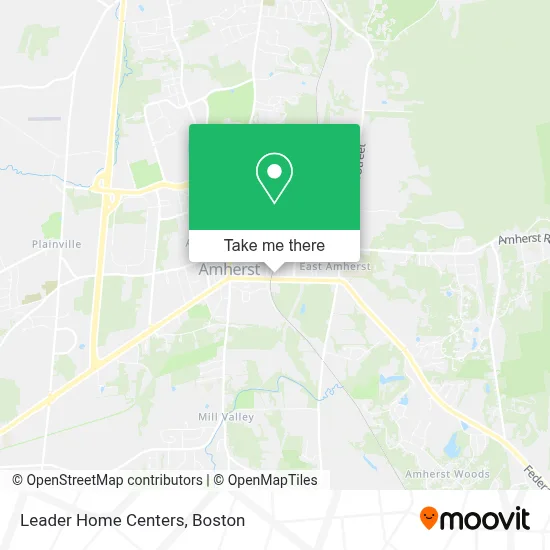
See Leader Home Centers, Boston, on the map
Public Transit to Leader Home Centers in Boston
Wondering how to get to Leader Home Centers in Boston? Moovit helps you find the best way to get to Leader Home Centers with step-by-step directions from the nearest public transit station.
Moovit provides free maps and live directions to help you navigate through your city. View schedules, routes, timetables, and find out how long does it take to get to Leader Home Centers in real time.
Looking for the nearest stop or station to Leader Home Centers? Check out this list of stops closest to your destination: Amherst Town Hall; Jones Library (W); Amherst - Infront Of Five Colleges Center; Amherst - Near Spring St; Cowles Lane.
Bus: 30, B43, PETER PAN, 45, 33, 31, PG.
Want to see if there’s another route that gets you there at an earlier time? Moovit helps you find alternative routes or times. Get directions from and directions to Leader Home Centers easily from the Moovit App or Website.
We make riding to Leader Home Centers easy, which is why over 1.7 million users, including users in Boston, trust Moovit as the best app for public transit. You don’t need to download an individual bus app or train app, Moovit is your all-in-one transit app that helps you find the best bus time or train time available.
For information on prices of bus, costs and ride fares to Leader Home Centers, please check the Moovit app.
Use the app to navigate to popular places including to the airport, hospital, stadium, grocery store, mall, coffee shop, school, college, and university.
Leader Home Centers Address: 150 College St street in Boston
- Hills Parking Lot,
- Pangolin,
- Amherst College Police,
- Amherst,
- Amherst Station,
- The Powerhouse,
- Powerhouse,
- Jenkins Hall,
- Cooper House,
- Vfw Post 754,
- Bruno's,
- Boyden & Perron,
- Enterprise,
- Clark House,
- Crossman Properties,
- Amherst Inn,
- The Science Center,
- Andrea General House Cleaning,
- Lablanc Painting,
- Choose Heart: Counseling, Coaching, & Accompaniment
Places Near Leader Home Centers (Boston)
- Museum Of Science, Boston,
- House Of Blues, Boston,
- Boston Convention & Exhibition Center, Boston,
- Leader Bank Pavilion (Leader Bank Pavillion), Boston,
- Wilbur Theatre, Boston,
- Seaport District, Boston,
- Boston Children's Hospital, Boston,
- Td Garden, Boston,
- Massachusetts General Hospital, Boston,
- Wang Theater, Boston,
- Boston Medical Center, Boston,
- Faneuil Hall, Boston,
- Cheers, Boston,
- North End, Boston,
- Castle Island, Boston,
- Prudential Center, Boston,
- Mgm Music Hall, Boston,
- Quincy Market, Boston,
- Isabella Stewart Gardner Museum, Boston,
- Boston Common, Boston
How to get to popular places in Boston with public transit
Get around Boston by public transit!
Traveling around Boston has never been so easy. See step by step directions as you travel to any attraction, street or major public transit station. View bus and train schedules, arrival times, service alerts and detailed routes on a map, so you know exactly how to get to anywhere in Boston.
When traveling to any destination around Boston use Moovit's Live Directions with Get Off Notifications to know exactly where and how far to walk, how long to wait for your line, and how many stops are left. Moovit will alert you when it's time to get off — no need to constantly re-check whether yours is the next stop.
Wondering how to use public transit in Boston or how to pay for public transit in Boston? Moovit public transit app can help you navigate your way with public transit easily, and at minimum cost. It includes public transit fees, ticket prices, and costs. Looking for a map of Boston public transit lines? Moovit public transit app shows all public transit maps in Boston with all Bus, Train, Subway and Ferry routes and stops on an interactive map.
Boston has 4 transit type(s), including: Bus, Train, Subway and Ferry, operated by several transit agencies, including MBTA, Southeastern Regional Transit Authority, MetroWest Regional Transit Authority, Rhode Island Public Transit Authority, WRTA, Lowell Regional Transit Authority, Merrimack Valley Transit, Montachusett Regional Transit Authority, Cape Cod Regional Transit Authority, Brockton Area Transit Authority, Martha's Vineyard Transit Authority, the WAVE - Nantucket Regional Transit Authority, GATRA, Cape Ann Transportation Authority and Massport