Lefevre St & Miller St stop - Wednesday schedule
| Line | Direction | Time |
|---|---|---|
| 41 | Chelten-Wissahickon | 5:05 AM |
| 41 | Chelten-Wissahickon | 5:31 AM |
| 25 | Frankford Transit Center | 5:52 AM |
| 41 | Chelten-Wissahickon | 6:04 AM |
| 25 | Frankford Transit Center | 6:25 AM |
| 41 | Chelten-Wissahickon | 6:34 AM |
| 25 | Frankford Transit Center | 6:47 AM |
| 41 | Chelten-Wissahickon | 6:49 AM |
| 25 | Frankford Transit Center | 7:07 AM |
| 41 | Chelten-Wissahickon | 7:10 AM |
| 25 | Frankford Transit Center | 7:30 AM |
| 41 | Chelten-Wissahickon | 7:36 AM |
| 25 | Frankford Transit Center | 7:45 AM |
| 25 | Frankford Transit Center | 8:00 AM |
| 41 | Chelten-Wissahickon | 8:07 AM |
| 25 | Frankford Transit Center | 8:16 AM |
| 25 | Frankford Transit Center | 8:31 AM |
| 41 | Chelten-Wissahickon | 8:37 AM |
| 25 | Frankford Transit Center | 8:46 AM |
| 25 | Frankford Transit Center | 9:01 AM |
| 41 | Chelten-Wissahickon | 9:10 AM |
| 25 | Frankford Transit Center | 9:16 AM |
| 41 | Chelten-Wissahickon | 9:40 AM |
| 25 | Frankford Transit Center | 9:41 AM |
| 25 | Frankford Transit Center | 10:07 AM |
Directions to Lefevre St & Miller St stop (Philadelphia) with public transit
The following transit lines have routes that pass near Lefevre St & Miller St
 Bus: 25, 41, 73.
- Train: TRE.
- Metro: L1.
- Cable Car: 59, 75, 89, K.
How to get to Lefevre St & Miller St stop by bus?
Click on the bus route to see step by step directions with maps, line arrival times and updated time schedules.
How to get to Lefevre St & Miller St stop by train?
Click on the train route to see step by step directions with maps, line arrival times and updated time schedules.
How to get to Lefevre St & Miller St stop by metro?
Click on the metro route to see step by step directions with maps, line arrival times and updated time schedules.
Bus stops near Lefevre St & Miller St stop in Philadelphia
- Lefevre St & Almond St , 2 min walk,
- Thompson St & Lefevre St , 4 min walk,
Metro stations near Lefevre St & Miller St station in Philadelphia
- Arrott Transportation Center, 24 min walk,
Cable Car stations near Lefevre St & Miller St station in Philadelphia
- Oxford Av & Frankford Av , 25 min walk,
Train stations near Lefevre St & Miller St station in Philadelphia
- Bridesburg, 52 min walk,
Bus lines to Lefevre St & Miller St stop in Philadelphia
- 25, Frankford Transit Center,
- 41, Chelten-Wissahickon,
- 73, Richmond-Westmoreland,
What are the closest stations to Lefevre St & Miller St?
The closest stations to Lefevre St & Miller St are:
- Lefevre St & Almond St stop is 104 yards away, 2 min walk.
- Thompson St & Lefevre St stop is 295 yards away, 4 min walk.
- Arrott Transportation Center station is 2024 yards away, 24 min walk.
- Oxford Av & Frankford Av station is 2154 yards away, 25 min walk.
- Bridesburg station is 4525 yards away, 52 min walk.
Which bus lines stop near Lefevre St & Miller St?
These bus lines stop near Lefevre St & Miller St: 25, 41.
Which train line stops near Lefevre St & Miller St?
TRE (#Tre9719 - Trenton)
Which metro line stops near Lefevre St & Miller St?
L1 (Frankford Transit Center)
What’s the nearest metro station to Lefevre St & Miller St in Philadelphia?
The nearest metro station to Lefevre St & Miller St in Philadelphia is Arrott Transportation Center. It’s a 24 min walk away.
What’s the nearest bus station to Lefevre St & Miller St in Philadelphia?
The nearest bus station to Lefevre St & Miller St in Philadelphia is Lefevre St & Almond St. It’s a 2 min walk away.
What’s the nearest cable car station to Lefevre St & Miller St in Philadelphia?
The nearest cable car station to Lefevre St & Miller St in Philadelphia is Oxford Av & Frankford Av. It’s a 25 min walk away.
Lefevre St & Miller St station
 Taken by Anonymous
See Lefevre St & Miller St stop, Philadelphia, on the map
Public transit to Lefevre St & Miller St stop (ID: 24003) in Philadelphia
Looking for directions to Lefevre St & Miller St in Philadelphia, United States?
Download the Moovit App to find the current schedule and step-by-step directions for Bus, Metro or Train routes that pass through Lefevre St & Miller St.
Looking for the nearest stops closest to Lefevre St & Miller St ? Check out this list of closest stops to your destination: Lefevre St & Almond St ; Thompson St & Lefevre St ; Arrott Transportation Center; Oxford Av & Frankford Av ; Bridesburg.
Bus: 25, 41, 73.Train: TRE.Metro: L1.Cable Car: 59, 75, 89, K.
We make riding on public transit to Lefevre St & Miller St easy, which is why over 1.7 billion users, including users in Philadelphia trust Moovit as the best app for public transit.
Use the app to navigate to popular places including to the airport, hospital, stadium, grocery store, mall, coffee shop, school, college, and university.
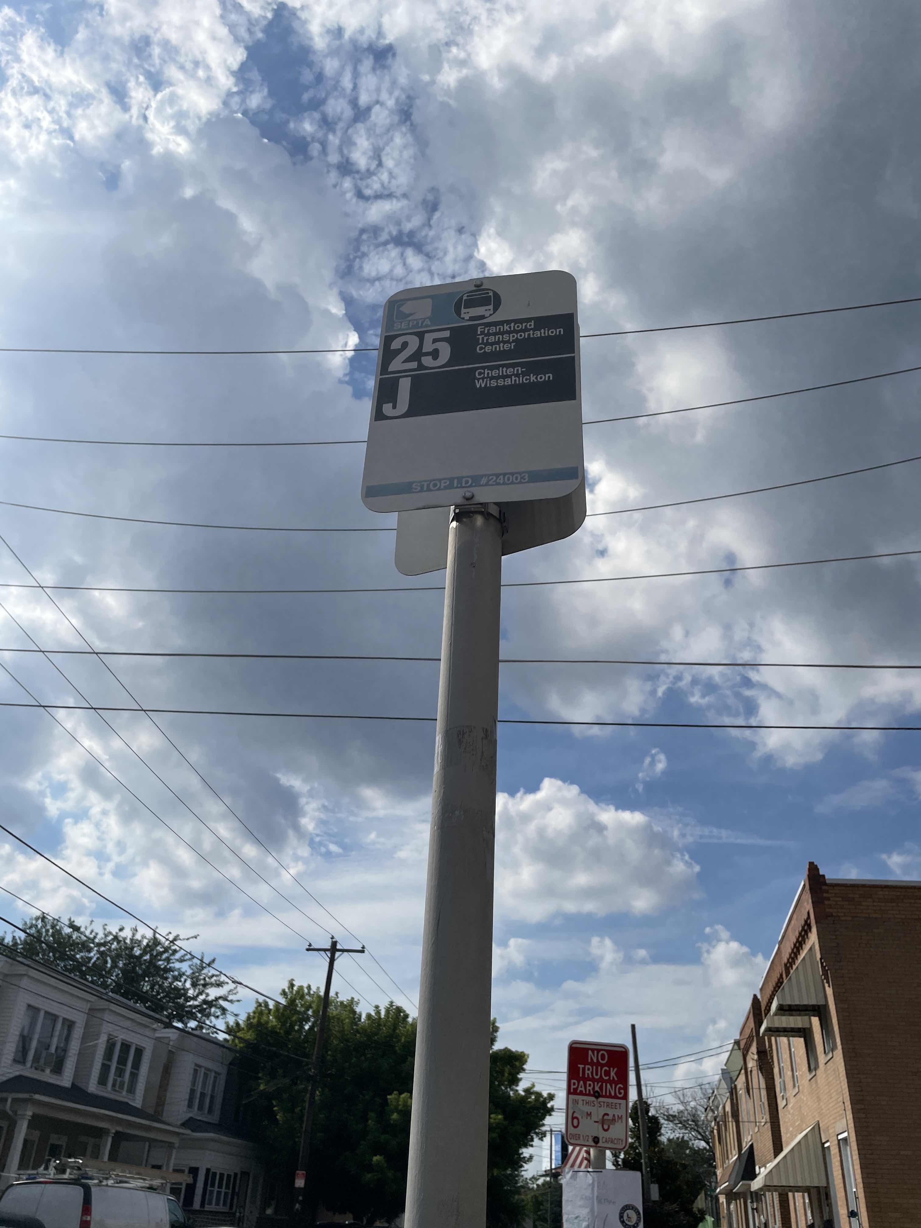
Lefevre St & Miller St stop’s code is 24003
The first line to this stop is 41, at 5:05 AM, and the last line is 41 at 1:00 AM.
2523 Lefevre St, Philadelphia, PA, USA
This stop serves SEPTA’s lines
- Lefevre St & Almond St ,
- Thompson St & Lefevre St
Bus stops near Lefevre St & Miller St stop
- Arrott Transportation Center
Metro station near Lefevre St & Miller St station
- Oxford Av & Frankford Av
Cable Car station near Lefevre St & Miller St station
- Bridesburg
Train station near Lefevre St & Miller St station
- North Philadelphia,
- Grays Ferry Av & 32nd St,
- 17th St & Diamond St ,
- South Broad St at Beatty St,
- 30th St & Reed St,
- 12th St & Catharine St,
- Frankford Av & Clearfield St ,
- 56th St & Media St ,
- 4th St & Arch St,
- Front St & Berks St ,
- Walnut St & 42nd St,
- 22nd St & Berks St,
- Wyoming,
- 12th St & Wallace St ,
- Fairmount Av & 22nd St,
- Cecil B Moore Av & 22nd St ,
- Locust St & 13th St ,
- Reed St & 33rd St ,
- Chester Pike & Sharon Av,
- Brunswick Ave at Heil Ave
Popular public transit stations in Philadelphia
Get around Philadelphia by public transit!
Traveling around Philadelphia has never been so easy. See step by step directions as you travel to any attraction, street or major public transit station. View bus and train schedules, arrival times, service alerts and detailed routes on a map, so you know exactly how to get to anywhere in Philadelphia.
When traveling to any destination around Philadelphia use Moovit's Live Directions with Get Off Notifications to know exactly where and how far to walk, how long to wait for your line, and how many stops are left. Moovit will alert you when it's time to get off — no need to constantly re-check whether yours is the next stop.
Wondering how to use public transit in Philadelphia or how to pay for public transit in Philadelphia? Moovit public transit app can help you navigate your way with public transit easily, and at minimum cost. It includes public transit fees, ticket prices, and costs. Looking for a map of Philadelphia public transit lines? Moovit public transit app shows all public transit maps in Philadelphia with all Bus, Train, Metro, Light Rail and Cable Car routes and stops on an interactive map.
Philadelphia has 5 transit type(s), including: Bus, Train, Metro, Light Rail and Cable Car, operated by several transit agencies, including SEPTA Subway, SEPTA Rail, SEPTA, SEPTA Trolley, NJ Transit Rail, NJ Transit, Port Authority Transit Corporation, Navy Yard, Penn Transit, Drexel University, Pottstown Area Rapid Transit (PART), Fullington Tours, Chescobus, Amtrak and Greyhound-us