Lehigh Av & 6th St stop - Wednesday schedule
| Line | Direction | Time |
|---|---|---|
| 54 | Richmond-Cambria | 4:51 AM |
| 54 | Richmond-Cambria | 5:17 AM |
| 54 | Richmond-Cambria | 5:42 AM |
| 54 | Richmond-Cambria | 6:04 AM |
| 54 | Richmond-Cambria | 6:18 AM |
| 54 | Richmond-Cambria | 6:32 AM |
| 54 | Richmond-Cambria | 6:46 AM |
| 54 | Richmond-Cambria | 6:58 AM |
| 54 | Richmond-Cambria | 7:11 AM |
| 54 | Richmond-Cambria | 7:24 AM |
| 54 | Richmond-Cambria | 7:38 AM |
| 54 | Richmond-Cambria | 7:51 AM |
| 54 | Richmond-Cambria | 8:04 AM |
| 54 | Richmond-Cambria | 8:17 AM |
| 54 | Richmond-Cambria | 8:30 AM |
| 54 | Richmond-Cambria | 8:43 AM |
| 54 | Richmond-Cambria | 8:56 AM |
| 54 | Richmond-Cambria | 9:09 AM |
| 54 | Richmond-Cambria | 9:22 AM |
| 54 | Richmond-Cambria | 9:35 AM |
| 54 | Richmond-Cambria | 9:50 AM |
| 54 | Richmond-Cambria | 10:09 AM |
| 54 | Richmond-Cambria | 10:29 AM |
| 54 | Richmond-Cambria | 10:49 AM |
| 54 | Richmond-Cambria | 11:09 AM |
Directions to Lehigh Av & 6th St stop (Philadelphia) with public transit
The following transit lines have routes that pass near Lehigh Av & 6th St
 Bus: 47, 54.
- Train: LAN, NOR, KEYSTONE SERVICE, CHW, TRE.
- Metro: B1, B3, L1.
How to get to Lehigh Av & 6th St stop by bus?
Click on the bus route to see step by step directions with maps, line arrival times and updated time schedules.
How to get to Lehigh Av & 6th St stop by train?
Click on the train route to see step by step directions with maps, line arrival times and updated time schedules.
How to get to Lehigh Av & 6th St stop by metro?
Click on the metro route to see step by step directions with maps, line arrival times and updated time schedules.
Bus stops near Lehigh Av & 6th St stop in Philadelphia
- Lehigh Av & 7th St, 2 min walk,
- 6th St & Lehigh Av , 2 min walk,
- 5th St & Lehigh Av , 4 min walk,
Metro stations near Lehigh Av & 6th St station in Philadelphia
- North Philadelphia, 14 min walk,
- York Dauphin Station, 20 min walk,
Train stations near Lehigh Av & 6th St station in Philadelphia
- North Broad, 15 min walk,
- North Philadelphia Amtrak, 19 min walk,
Bus lines to Lehigh Av & 6th St stop in Philadelphia
- 54, Richmond-Cambria,
- 47, 5th-Godrey,
- 39, Richmond-Cumberland,
What are the closest stations to Lehigh Av & 6th St?
The closest stations to Lehigh Av & 6th St are:
- Lehigh Av & 7th St stop is 80 yards away, 2 min walk.
- 6th St & Lehigh Av stop is 89 yards away, 2 min walk.
- 5th St & Lehigh Av stop is 264 yards away, 4 min walk.
- North Philadelphia station is 1124 yards away, 14 min walk.
- North Broad station is 1274 yards away, 15 min walk.
- North Philadelphia Amtrak station is 1580 yards away, 19 min walk.
- York Dauphin Station is 1719 yards away, 20 min walk.
Which bus lines stop near Lehigh Av & 6th St?
These bus lines stop near Lehigh Av & 6th St: 47, 54.
Which train line stops near Lehigh Av & 6th St?
LAN (#Lan3512 - Doylestown)
Which metro line stops near Lehigh Av & 6th St?
B1 (Fern Rock Transit Center)
What’s the nearest metro station to Lehigh Av & 6th St in Philadelphia?
The nearest metro station to Lehigh Av & 6th St in Philadelphia is North Philadelphia. It’s a 14 min walk away.
What’s the nearest train station to Lehigh Av & 6th St in Philadelphia?
The nearest train station to Lehigh Av & 6th St in Philadelphia is North Broad. It’s a 15 min walk away.
What’s the nearest bus station to Lehigh Av & 6th St in Philadelphia?
The nearest bus stations to Lehigh Av & 6th St in Philadelphia are Lehigh Av & 7th St and 6th St & Lehigh Av. The closest one is a 2 min walk away.
Lehigh Av & 6th St station
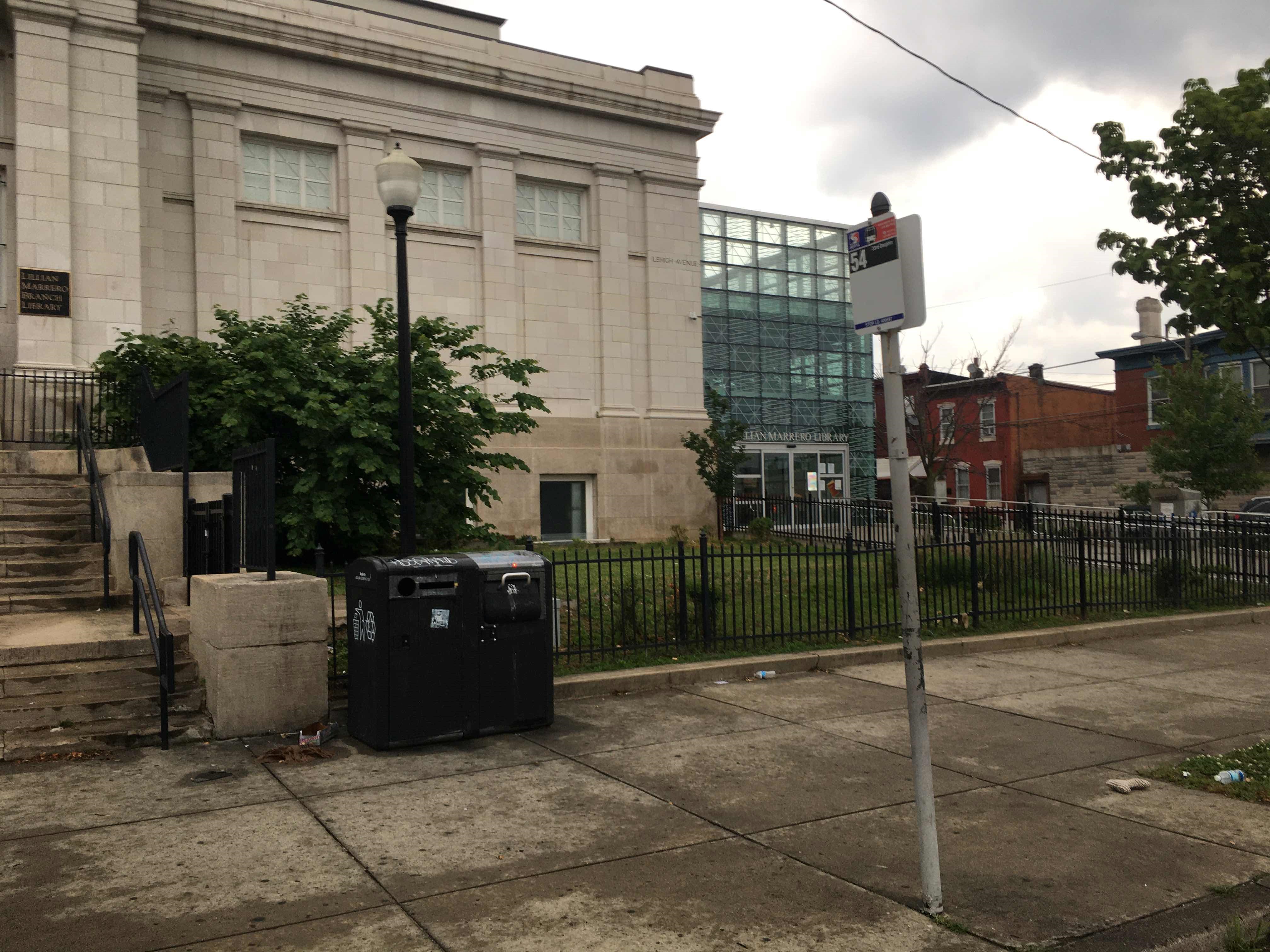 Taken by Anonymous
See Lehigh Av & 6th St stop, Philadelphia, on the map
Public transit to Lehigh Av & 6th St stop (ID: 9364) in Philadelphia
Looking for directions to Lehigh Av & 6th St in Philadelphia, United States?
Download the Moovit App to find the current schedule and step-by-step directions for Bus, Metro or Train routes that pass through Lehigh Av & 6th St.
Looking for the nearest stops closest to Lehigh Av & 6th St ? Check out this list of closest stops to your destination: Lehigh Av & 7th St; 6th St & Lehigh Av ; 5th St & Lehigh Av ; North Philadelphia; North Broad; North Philadelphia Amtrak; York Dauphin Station.
Bus: 47, 54.Train: LAN, NOR, KEYSTONE SERVICE, CHW, TRE.Metro: B1, B3, L1.
We make riding on public transit to Lehigh Av & 6th St easy, which is why over 1.7 billion users, including users in Philadelphia trust Moovit as the best app for public transit.
Use the app to navigate to popular places including to the airport, hospital, stadium, grocery store, mall, coffee shop, school, college, and university.
Lehigh Av & 6th St stop’s code is 9364
The first line to this stop is 54, at 4:51 AM, and the last line is 54 at 4:24 AM.
608-14 W Lehigh Ave, Philadelphia, PA, USA
This stop serves SEPTA’s lines
Popular routes from Lehigh Av & 6th St stop, Philadelphia
- Lehigh Av & 7th St,
- 6th St & Lehigh Av ,
- 5th St & Lehigh Av
Bus stops near Lehigh Av & 6th St stop
- North Philadelphia,
- York Dauphin Station
Metro stations near Lehigh Av & 6th St station
- North Broad,
- North Philadelphia Amtrak
Train stations near Lehigh Av & 6th St station
- 17th St & Walnut St ,
- Baltimore Av & 58th St,
- South Broad St at Beatty St,
- 7th St & Spring Garden St ,
- Bucks County Community College - 2,
- Jefferson Station,
- 17th St & Spruce St ,
- 5th St & Market St - Fs,
- Lancaster Av & 52nd St,
- Spring Garden St & Art Museum,
- Greyhound Terminal, 1001 Filbert St,
- Frankford Av & Cumberland St,
- 8th St & Fairmount Av,
- Prospect St at Bellevue Ave,
- 23rd St & Spring Garden St,
- Mount Airy,
- 40th St & Baring St,
- Ardmore Station,
- Pratt St & Castor Av,
- 9th St & Ritner St
Popular public transit stations in Philadelphia
Get around Philadelphia by public transit!
Traveling around Philadelphia has never been so easy. See step by step directions as you travel to any attraction, street or major public transit station. View bus and train schedules, arrival times, service alerts and detailed routes on a map, so you know exactly how to get to anywhere in Philadelphia.
When traveling to any destination around Philadelphia use Moovit's Live Directions with Get Off Notifications to know exactly where and how far to walk, how long to wait for your line, and how many stops are left. Moovit will alert you when it's time to get off — no need to constantly re-check whether yours is the next stop.
Wondering how to use public transit in Philadelphia or how to pay for public transit in Philadelphia? Moovit public transit app can help you navigate your way with public transit easily, and at minimum cost. It includes public transit fees, ticket prices, and costs. Looking for a map of Philadelphia public transit lines? Moovit public transit app shows all public transit maps in Philadelphia with all Bus, Train, Metro, Light Rail and Cable Car routes and stops on an interactive map.
Philadelphia has 5 transit type(s), including: Bus, Train, Metro, Light Rail and Cable Car, operated by several transit agencies, including SEPTA Subway, SEPTA Rail, SEPTA, SEPTA Trolley, NJ Transit Rail, NJ Transit, Port Authority Transit Corporation, Navy Yard, Penn Transit, Drexel University, Pottstown Area Rapid Transit (PART), Fullington Tours, Chescobus, Amtrak and Greyhound-us