Directions to Lennon Insurance Agency Llc (Boston) with public transportation
The following transit lines have routes that pass near Lennon Insurance Agency Llc
 Bus: 14.
How to get to Lennon Insurance Agency Llc by bus?
Click on the bus route to see step by step directions with maps, line arrival times and updated time schedules.
Bus stop near Lennon Insurance Agency Llc in Boston
- 7260 Post, 1 min walk,VIEW
Bus lines to Lennon Insurance Agency Llc in Boston
- 14, Newport Via Jamestown,VIEW
What are the closest stations to Lennon Insurance Agency Llc?
The closest stations to Lennon Insurance Agency Llc are:
- 7260 Post is 10 yards away, 1 min walk.
Which bus line stops near Lennon Insurance Agency Llc?
14 (Newport Via Jamestown)
What’s the nearest bus station to Lennon Insurance Agency Llc in Boston?
The nearest bus station to Lennon Insurance Agency Llc in Boston is 7260 Post. It’s a 1 min walk away.
What time is the first bus to Lennon Insurance Agency Llc in Boston?
The 14 is the first bus that goes to Lennon Insurance Agency Llc in Boston. It stops nearby at 5:07 AM.
What time is the last bus to Lennon Insurance Agency Llc in Boston?
The 14 is the last bus that goes to Lennon Insurance Agency Llc in Boston. It stops nearby at 9:32 PM.
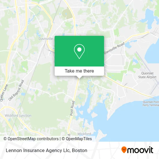
See Lennon Insurance Agency Llc, Boston, on the map
Public Transit to Lennon Insurance Agency Llc in Boston
Wondering how to get to Lennon Insurance Agency Llc in Boston? Moovit helps you find the best way to get to Lennon Insurance Agency Llc with step-by-step directions from the nearest public transit station.
Moovit provides free maps and live directions to help you navigate through your city. View schedules, routes, timetables, and find out how long does it take to get to Lennon Insurance Agency Llc in real time.
Looking for the nearest stop or station to Lennon Insurance Agency Llc? Check out this list of stops closest to your destination: 7260 Post.
Bus: 14.
Want to see if there’s another route that gets you there at an earlier time? Moovit helps you find alternative routes or times. Get directions from and directions to Lennon Insurance Agency Llc easily from the Moovit App or Website.
We make riding to Lennon Insurance Agency Llc easy, which is why over 1.7 million users, including users in Boston, trust Moovit as the best app for public transit. You don’t need to download an individual bus app or train app, Moovit is your all-in-one transit app that helps you find the best bus time or train time available.
For information on prices of bus, costs and ride fares to Lennon Insurance Agency Llc, please check the Moovit app.
Use the app to navigate to popular places including to the airport, hospital, stadium, grocery store, mall, coffee shop, school, college, and university.
Lennon Insurance Agency Llc Address: 7444 Post Rd street in Boston
- American Labor Services,
- Vutech Dental,
- Dragon Palace,
- Rhody Slice,
- Seefari - Coming Soon,
- Neighborhood Table,
- ATM,
- Grooves on West,
- Rocky Point Clam Shack,
- Interstate Batteries,
- 7330 Post Rd Parking,
- O'Reilly Auto Parts,
- Bjork Hair,
- Country K-9 Cuts,
- Kingston Pizza,
- Harbor Creative Arts,
- Nail Salon in North Kingstown Ri,
- Treatment Center,
- Kupa John Jr Attorney at Law,
- Newport Creamery
Places Near Lennon Insurance Agency Llc (Boston)
- Boston Convention & Exhibition Center, Boston,
- Faneuil Hall, Boston,
- Castle Island, Boston,
- House Of Blues, Boston,
- Wilbur Theatre, Boston,
- Seaport District, Boston,
- Boston Medical Center, Boston,
- Wang Theater, Boston,
- Boston Common, Boston,
- Boston Children's Hospital, Boston,
- North End, Boston,
- Massachusetts General Hospital, Boston,
- Museum Of Science, Boston,
- Cheers, Boston,
- Leader Bank Pavilion (Leader Bank Pavillion), Boston,
- Td Garden, Boston,
- Prudential Center, Boston,
- Mgm Music Hall, Boston,
- Isabella Stewart Gardner Museum, Boston,
- Quincy Market, Boston
How to get to popular places in Boston with public transit
Get around Boston by public transit!
Traveling around Boston has never been so easy. See step by step directions as you travel to any attraction, street or major public transit station. View bus and train schedules, arrival times, service alerts and detailed routes on a map, so you know exactly how to get to anywhere in Boston.
When traveling to any destination around Boston use Moovit's Live Directions with Get Off Notifications to know exactly where and how far to walk, how long to wait for your line, and how many stops are left. Moovit will alert you when it's time to get off — no need to constantly re-check whether yours is the next stop.
Wondering how to use public transit in Boston or how to pay for public transit in Boston? Moovit public transit app can help you navigate your way with public transit easily, and at minimum cost. It includes public transit fees, ticket prices, and costs. Looking for a map of Boston public transit lines? Moovit public transit app shows all public transit maps in Boston with all Bus, Train, Subway and Ferry routes and stops on an interactive map.
Boston has 4 transit type(s), including: Bus, Train, Subway and Ferry, operated by several transit agencies, including MBTA, Southeastern Regional Transit Authority, MetroWest Regional Transit Authority, Rhode Island Public Transit Authority, WRTA, Lowell Regional Transit Authority, Merrimack Valley Transit, Montachusett Regional Transit Authority, Cape Cod Regional Transit Authority, Brockton Area Transit Authority, Martha's Vineyard Transit Authority, the WAVE - Nantucket Regional Transit Authority, GATRA, Cape Ann Transportation Authority and Massport