How to get to Lexington Mobile by bus?
Click on the bus route to see step by step directions with maps, line arrival times and updated time schedules.
From Tufts University
90 minFrom Apple Cinemas
36 minFrom Hampton Inn & Suites-Hampton Watertown Boston (Hampton Inn & Suites Watertown Boston)
95 minFrom Terrace Room, Paige Hall
90 minFrom Boston Children's Hospital at Waltham
74 minFrom Thermo Fisher Scientific
57 minFrom Boston Marriott Newton
112 minFrom Sommerville Theatre
50 minFrom MBTA / Alewife #6
29 minFrom Waltham, MA
59 min
Bus stop near Lexington Mobile
- Marrett Rd @ Tufts Rd, 1 min walk,VIEW
Bus lines to Lexington Mobile
- 76, Alewife Via Hanscom Airport,VIEW
What are the closest stations to Lexington Mobile?
The closest stations to Lexington Mobile are:
- Marrett Rd @ Tufts Rd is 8 yards away, 1 min walk.
Which bus lines stop near Lexington Mobile?
These bus lines stop near Lexington Mobile: 61, 76.
What’s the nearest bus station to Lexington Mobile?
The nearest bus station to Lexington Mobile is Marrett Rd @ Tufts Rd. It’s a 1 min walk away.
What time is the first bus to Lexington Mobile?
The 76 is the first bus that goes to Lexington Mobile. It stops nearby at 6:12 AM.
What time is the last bus to Lexington Mobile?
The 76 is the last bus that goes to Lexington Mobile. It stops nearby at 8:29 PM.
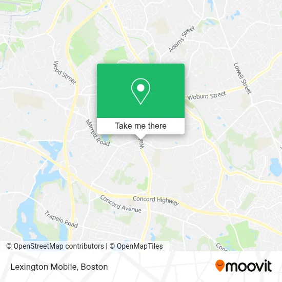
See Lexington Mobile on the map
Public Transportation to Lexington Mobile
Wondering how to get to Lexington Mobile? Moovit helps you find the best way to get to Lexington Mobile with step-by-step directions from the nearest public transit station.
Moovit provides free maps and live directions to help you navigate through your city. View schedules, routes, timetables, and find out how long does it take to get to Lexington Mobile in real time.
Looking for the nearest stop or station to Lexington Mobile? Check out this list of stops closest to your destination: Marrett Rd @ Tufts Rd.
Bus: 61, 76.
Want to see if there’s another route that gets you there at an earlier time? Moovit helps you find alternative routes or times. Get directions from and directions to Lexington Mobile easily from the Moovit App or Website.
We make riding to Lexington Mobile easy, which is why over 1.7 million users, including users in Lexington, trust Moovit as the best app for public transit. You don’t need to download an individual bus app or train app, Moovit is your all-in-one transit app that helps you find the best bus time or train time available.
For information on prices of bus, subway and train, costs and ride fares to Lexington Mobile, please check the Moovit app.
Use the app to navigate to popular places including to the airport, hospital, stadium, grocery store, mall, coffee shop, school, college, and university.
Lexington Mobile Address: 396 Waltham St street in Lexington
- AM PM Locksmith Co,
- Lexington Top Locksmith,
- Shred Nations,
- Computer Upgrades,
- USPS Collection Box - Blue Box,
- Orr Homes,
- Spice Box Pizza & Indian Cafe,
- Lex Donuts,
- Abalou Design,
- Waltham St Opp Wachusett Dr,
- Talented Heating & Cooling Repair,
- Healthcare Negotiation Assoc,
- Solid Auto Glass,
- Skeens Specialized Pet Care,
- Sacerdote & Co.,
- Tom Dillon- Keller Williams Realty,
- Mulberry Child Care Centers,
- Peter's Painters of Lexington,
- Elite IV Infusion,
- Master Gutter Service
Places Near Lexington Mobile
- House Of Blues, Boston,
- Boston Medical Center, Boston,
- Wilbur Theatre, Boston,
- Museum Of Science, Boston,
- Wang Theater, Boston,
- Cheers, Boston,
- Td Garden, Boston,
- Faneuil Hall, Boston,
- Castle Island, Boston,
- Mgm Music Hall, Boston,
- North End, Boston,
- Seaport District, Boston,
- Isabella Stewart Gardner Museum, Boston,
- Boston Common, Boston,
- Boston Convention & Exhibition Center, Boston,
- Quincy Market, Boston,
- Leader Bank Pavilion (Leader Bank Pavillion), Boston,
- Massachusetts General Hospital, Boston,
- Prudential Center, Boston,
- Boston Children's Hospital, Boston
How to get to popular places in Boston with public transit
Get around Lexington by public transit!
Traveling around Lexington has never been so easy. See step by step directions as you travel to any attraction, street or major public transit station. View bus and train schedules, arrival times, service alerts and detailed routes on a map, so you know exactly how to get to anywhere in Lexington.
When traveling to any destination around Lexington use Moovit's Live Directions with Get Off Notifications to know exactly where and how far to walk, how long to wait for your line, and how many stops are left. Moovit will alert you when it's time to get off — no need to constantly re-check whether yours is the next stop.
Wondering how to use public transit in Lexington or how to pay for public transit in Lexington? Moovit public transit app can help you navigate your way with public transit easily, and at minimum cost. It includes public transit fees, ticket prices, and costs. Looking for a map of Lexington public transit lines? Moovit public transit app shows all public transit maps in Lexington with all Bus, Train, Subway and Ferry routes and stops on an interactive map.
Boston has 4 transit type(s), including: Bus, Train, Subway and Ferry, operated by several transit agencies, including MBTA, Southeastern Regional Transit Authority, MetroWest Regional Transit Authority, Rhode Island Public Transit Authority, WRTA, Lowell Regional Transit Authority, Merrimack Valley Transit, Montachusett Regional Transit Authority, Cape Cod Regional Transit Authority, Brockton Area Transit Authority, Martha's Vineyard Transit Authority, the WAVE - Nantucket Regional Transit Authority, GATRA, Cape Ann Transportation Authority and Massport