How to get to Linton Septic by bus?
Click on the bus route to see step by step directions with maps, line arrival times and updated time schedules.
From Foxwoods, Worcester
408 minFrom Polar Park, Worcester
209 minFrom Palladium, Worcester
213 minFrom Worcester, MA, Worcester
208 minFrom Walmart Supercenter, Worcester
437 minFrom Dcu Center, Worcester
210 minFrom Registry Of Motor Vehicles (Rmv) Branch Office, Worcester
212 minFrom South High Community School, Worcester
475 min
Bus stop near Linton Septic in Boston
- Park / Breckenridge (Dollar General), 14 min walk,VIEW
Bus lines to Linton Septic in Boston
- PS, Wing Hospital,VIEW
What are the closest stations to Linton Septic?
The closest stations to Linton Septic are:
- Park / Breckenridge (Dollar General) is 1113 yards away, 14 min walk.
Which bus lines stop near Linton Septic?
These bus lines stop near Linton Septic: PS, WS.
What’s the nearest bus station to Linton Septic in Boston?
The nearest bus station to Linton Septic in Boston is Park / Breckenridge (Dollar General). It’s a 14 min walk away.
What time is the first bus to Linton Septic in Boston?
The PS is the first bus that goes to Linton Septic in Boston. It stops nearby at 7:36 AM.
What time is the last bus to Linton Septic in Boston?
The PS is the last bus that goes to Linton Septic in Boston. It stops nearby at 4:56 PM.
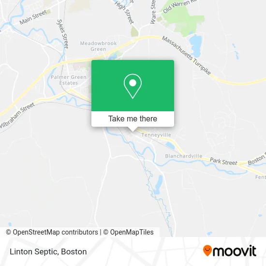
See Linton Septic, Boston, on the map
Public Transit to Linton Septic in Boston
Wondering how to get to Linton Septic in Boston? Moovit helps you find the best way to get to Linton Septic with step-by-step directions from the nearest public transit station.
Moovit provides free maps and live directions to help you navigate through your city. View schedules, routes, timetables, and find out how long does it take to get to Linton Septic in real time.
Looking for the nearest stop or station to Linton Septic? Check out this list of stops closest to your destination: Park / Breckenridge (Dollar General).
Bus: PS, WS.
Want to see if there’s another route that gets you there at an earlier time? Moovit helps you find alternative routes or times. Get directions from and directions to Linton Septic easily from the Moovit App or Website.
We make riding to Linton Septic easy, which is why over 1.7 million users, including users in Boston, trust Moovit as the best app for public transit. You don’t need to download an individual bus app or train app, Moovit is your all-in-one transit app that helps you find the best bus time or train time available.
For information on prices of bus and train, costs and ride fares to Linton Septic, please check the Moovit app.
Use the app to navigate to popular places including to the airport, hospital, stadium, grocery store, mall, coffee shop, school, college, and university.
Linton Septic Address: 1221 S Main St Palmer, MA 01069 street in Boston
- Baldyga's Auto & RV Sales,
- Baldyga's Auto Body,
- Michaels,
- The Depot Boutique,
- Images Salon,
- Buchmans Floor Covering,
- Joels Professional Cuts,
- Palmer Aero Products,
- Apple Self Storage,
- The Palmer Co-OP Center,
- Stephens Tree Removal,
- Buddy's Auto Service,
- Eastside Painting Pros,
- Superior Caulking & Waterproofing,
- Palmer Yard (Csx),
- Earth Wind & Spirit,
- Accurate Termite & Pest Control,
- American Brokers,
- Eco Systems,
- Ecoensure Environmental Monitoring and Testing Services
Places Near Linton Septic (Boston)
- House Of Blues, Boston,
- Isabella Stewart Gardner Museum, Boston,
- Boston Common, Boston,
- Seaport District, Boston,
- Museum Of Science, Boston,
- Massachusetts General Hospital, Boston,
- Cheers, Boston,
- North End, Boston,
- Prudential Center, Boston,
- Quincy Market, Boston,
- Boston Convention & Exhibition Center, Boston,
- Boston Children's Hospital, Boston,
- Faneuil Hall, Boston,
- Mgm Music Hall, Boston,
- Td Garden, Boston,
- Leader Bank Pavilion (Leader Bank Pavillion), Boston,
- Wang Theater, Boston,
- Wilbur Theatre, Boston,
- Castle Island, Boston,
- Boston Medical Center, Boston
How to get to popular places in Boston with public transit
Get around Boston by public transit!
Traveling around Boston has never been so easy. See step by step directions as you travel to any attraction, street or major public transit station. View bus and train schedules, arrival times, service alerts and detailed routes on a map, so you know exactly how to get to anywhere in Boston.
When traveling to any destination around Boston use Moovit's Live Directions with Get Off Notifications to know exactly where and how far to walk, how long to wait for your line, and how many stops are left. Moovit will alert you when it's time to get off — no need to constantly re-check whether yours is the next stop.
Wondering how to use public transit in Boston or how to pay for public transit in Boston? Moovit public transit app can help you navigate your way with public transit easily, and at minimum cost. It includes public transit fees, ticket prices, and costs. Looking for a map of Boston public transit lines? Moovit public transit app shows all public transit maps in Boston with all Bus, Train, Subway and Ferry routes and stops on an interactive map.
Boston has 4 transit type(s), including: Bus, Train, Subway and Ferry, operated by several transit agencies, including MBTA, Southeastern Regional Transit Authority, MetroWest Regional Transit Authority, Rhode Island Public Transit Authority, WRTA, Lowell Regional Transit Authority, Merrimack Valley Transit, Montachusett Regional Transit Authority, Cape Cod Regional Transit Authority, Brockton Area Transit Authority, Martha's Vineyard Transit Authority, the WAVE - Nantucket Regional Transit Authority, GATRA, Cape Ann Transportation Authority and Massport