Directions to Litron Inc (Boston) with public transportation
The following transit lines have routes that pass near Litron Inc
 Bus: R14.
How to get to Litron Inc by bus?
Click on the bus route to see step by step directions with maps, line arrival times and updated time schedules.
From South High Community School, Worcester
284 minFrom Worcester, MA, Worcester
188 minFrom Dcu Center, Worcester
190 minFrom Registry Of Motor Vehicles (Rmv) Branch Office, Worcester
192 minFrom Foxwoods, Worcester
217 minFrom Polar Park, Worcester
189 minFrom Walmart Supercenter, Worcester
246 minFrom Palladium, Worcester
193 min
Bus stop near Litron Inc in Boston
- Agawam Ind. Park Drive Ext. / Unnamed, 15 min walk,VIEW
Bus lines to Litron Inc in Boston
- R14, Union Station Springfield Via Heritage Nursing Home,VIEW
What are the closest stations to Litron Inc?
The closest stations to Litron Inc are:
- Agawam Ind. Park Drive Ext. / Unnamed is 1241 yards away, 15 min walk.
Which bus line stops near Litron Inc?
R14 (Pheasant Hill)
What’s the nearest bus station to Litron Inc in Boston?
The nearest bus station to Litron Inc in Boston is Agawam Ind. Park Drive Ext. / Unnamed. It’s a 15 min walk away.
What time is the first bus to Litron Inc in Boston?
The R14 is the first bus that goes to Litron Inc in Boston. It stops nearby at 6:48 AM.
What time is the last bus to Litron Inc in Boston?
The R14 is the last bus that goes to Litron Inc in Boston. It stops nearby at 5:20 PM.
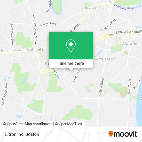
See Litron Inc, Boston, on the map
Public Transit to Litron Inc in Boston
Wondering how to get to Litron Inc in Boston? Moovit helps you find the best way to get to Litron Inc with step-by-step directions from the nearest public transit station.
Moovit provides free maps and live directions to help you navigate through your city. View schedules, routes, timetables, and find out how long does it take to get to Litron Inc in real time.
Looking for the nearest stop or station to Litron Inc? Check out this list of stops closest to your destination: Agawam Ind. Park Drive Ext. / Unnamed.
Bus: R14.
Want to see if there’s another route that gets you there at an earlier time? Moovit helps you find alternative routes or times. Get directions from and directions to Litron Inc easily from the Moovit App or Website.
We make riding to Litron Inc easy, which is why over 1.7 million users, including users in Boston, trust Moovit as the best app for public transit. You don’t need to download an individual bus app or train app, Moovit is your all-in-one transit app that helps you find the best bus time or train time available.
For information on prices of bus, costs and ride fares to Litron Inc, please check the Moovit app.
Use the app to navigate to popular places including to the airport, hospital, stadium, grocery store, mall, coffee shop, school, college, and university.
Litron Inc Address: 207 Bowles Rd street in Boston
- Silver Street Media,
- Microtest Labs,
- New England Packaging,
- Lil Dogs Screen PRNT,
- Diesel Forward,
- ATC Group Services,
- Provost Dam,
- New England Disc Jockeys,
- Baps Swaminarayan Sans,
- Hope Pentecostal Church,
- Mapleview Commons,
- West Springfield Fish & Game C,
- Faith Bible Church,
- Vergnani Heliport,
- William Bunnell Roofing,
- Practice Green,
- Hole 2 Green,
- Main Auto Repair,
- Cleanguys Detailing,
- Korveks Automotive
Places Near Litron Inc (Boston)
- Boston Medical Center, Boston,
- Prudential Center, Boston,
- House Of Blues, Boston,
- Quincy Market, Boston,
- Boston Common, Boston,
- Museum Of Science, Boston,
- Isabella Stewart Gardner Museum, Boston,
- Seaport District, Boston,
- Leader Bank Pavilion (Leader Bank Pavillion), Boston,
- Castle Island, Boston,
- North End, Boston,
- Boston Children's Hospital, Boston,
- Boston Convention & Exhibition Center, Boston,
- Massachusetts General Hospital, Boston,
- Wilbur Theatre, Boston,
- Faneuil Hall, Boston,
- Cheers, Boston,
- Mgm Music Hall, Boston,
- Wang Theater, Boston,
- Td Garden, Boston
How to get to popular places in Boston with public transit
Get around Boston by public transit!
Traveling around Boston has never been so easy. See step by step directions as you travel to any attraction, street or major public transit station. View bus and train schedules, arrival times, service alerts and detailed routes on a map, so you know exactly how to get to anywhere in Boston.
When traveling to any destination around Boston use Moovit's Live Directions with Get Off Notifications to know exactly where and how far to walk, how long to wait for your line, and how many stops are left. Moovit will alert you when it's time to get off — no need to constantly re-check whether yours is the next stop.
Wondering how to use public transit in Boston or how to pay for public transit in Boston? Moovit public transit app can help you navigate your way with public transit easily, and at minimum cost. It includes public transit fees, ticket prices, and costs. Looking for a map of Boston public transit lines? Moovit public transit app shows all public transit maps in Boston with all Bus, Train, Subway and Ferry routes and stops on an interactive map.
Boston has 4 transit type(s), including: Bus, Train, Subway and Ferry, operated by several transit agencies, including MBTA, Southeastern Regional Transit Authority, MetroWest Regional Transit Authority, Rhode Island Public Transit Authority, WRTA, Lowell Regional Transit Authority, Merrimack Valley Transit, Montachusett Regional Transit Authority, Cape Cod Regional Transit Authority, Brockton Area Transit Authority, Martha's Vineyard Transit Authority, the WAVE - Nantucket Regional Transit Authority, GATRA, Cape Ann Transportation Authority and Massport