Directions to Liv3lihood (Boston) with public transportation
The following transit lines have routes that pass near Liv3lihood
 Bus: 1, 20, 22, R, 31.
- Train: NORTHEAST REGIONAL, PROVIDENCE/STOUGHTON, ACELA, PROVIDENCE LINE SHUTTLE, PROVIDENCE LINE SHUTTLE.
How to get to Liv3lihood by bus?
Click on the bus route to see step by step directions with maps, line arrival times and updated time schedules.
How to get to Liv3lihood by train?
Click on the train route to see step by step directions with maps, line arrival times and updated time schedules.
Bus stops near Liv3lihood in Boston
Train stations near Liv3lihood in Boston
- Providence, 18 min walk,VIEW
Bus lines to Liv3lihood in Boston
What are the closest stations to Liv3lihood?
The closest stations to Liv3lihood are:
- Elmwood After Hanover is 314 yards away, 4 min walk.
- Cranston Before Bellevue is 610 yards away, 8 min walk.
- Cranston & Parade (After Parade) is 779 yards away, 10 min walk.
- Providence is 1500 yards away, 18 min walk.
Which bus lines stop near Liv3lihood?
These bus lines stop near Liv3lihood: 1, 20, 22, R.
Which train lines stop near Liv3lihood?
These train lines stop near Liv3lihood: NORTHEAST REGIONAL, PROVIDENCE/STOUGHTON.
What’s the nearest train station to Liv3lihood in Boston?
The nearest train station to Liv3lihood in Boston is Providence. It’s a 18 min walk away.
What’s the nearest bus station to Liv3lihood in Boston?
The nearest bus station to Liv3lihood in Boston is Elmwood After Hanover. It’s a 4 min walk away.
What time is the first train to Liv3lihood in Boston?
The PROVIDENCE/STOUGHTON is the first train that goes to Liv3lihood in Boston. It stops nearby at 4:10 AM.
What time is the last train to Liv3lihood in Boston?
The NORTHEAST REGIONAL is the last train that goes to Liv3lihood in Boston. It stops nearby at 9:17 AM.
What time is the first bus to Liv3lihood in Boston?
The 20 is the first bus that goes to Liv3lihood in Boston. It stops nearby at 5:50 AM.
What time is the last bus to Liv3lihood in Boston?
The 20 is the last bus that goes to Liv3lihood in Boston. It stops nearby at 1:01 AM.
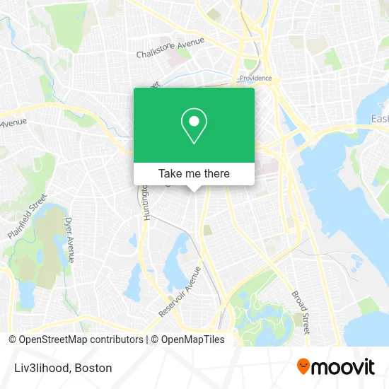
See Liv3lihood, Boston, on the map
Public Transit to Liv3lihood in Boston
Wondering how to get to Liv3lihood in Boston? Moovit helps you find the best way to get to Liv3lihood with step-by-step directions from the nearest public transit station.
Moovit provides free maps and live directions to help you navigate through your city. View schedules, routes, timetables, and find out how long does it take to get to Liv3lihood in real time.
Looking for the nearest stop or station to Liv3lihood? Check out this list of stops closest to your destination: Elmwood After Hanover; Cranston Before Bellevue; Cranston & Parade (After Parade); Providence.
Bus: 1, 20, 22, R, 31, 18.Train: NORTHEAST REGIONAL, PROVIDENCE/STOUGHTON, ACELA, PROVIDENCE LINE SHUTTLE, PROVIDENCE LINE SHUTTLE, PROVIDENCE LINE SHUTTLE, FOXBORO EVENT SERVICE.
Want to see if there’s another route that gets you there at an earlier time? Moovit helps you find alternative routes or times. Get directions from and directions to Liv3lihood easily from the Moovit App or Website.
We make riding to Liv3lihood easy, which is why over 1.7 million users, including users in Boston, trust Moovit as the best app for public transit. You don’t need to download an individual bus app or train app, Moovit is your all-in-one transit app that helps you find the best bus time or train time available.
For information on prices of bus and train, costs and ride fares to Liv3lihood, please check the Moovit app.
Use the app to navigate to popular places including to the airport, hospital, stadium, grocery store, mall, coffee shop, school, college, and university.
Liv3lihood Address: 77 Bucklin St street in Boston
- Bucklin Plaza PVD,
- Appliance Repair Thermador Repair Service,
- Dexter Mini Market,
- Modeling & Talent School,
- Palmera Club,
- Salvadore Tool & Findings,
- Babylon Locksmith,
- Elmwood Adult Day Health Care Center,
- Holy Temple Cogic,
- Sabor Latino,
- Juniper,
- Young Democrats of Rhode Island,
- Spark Social,
- Mechanical Fabric Company,
- Brave Daughters Studio,
- Black Beans PVD,
- Temptec Mechanical,
- Mia Market,
- Serenity,
- Achievement First Promesa
Places Near Liv3lihood (Boston)
- Faneuil Hall, Boston,
- Boston Medical Center, Boston,
- Museum Of Science, Boston,
- Td Garden, Boston,
- Castle Island, Boston,
- Mgm Music Hall, Boston,
- Prudential Center, Boston,
- Leader Bank Pavilion (Leader Bank Pavillion), Boston,
- Boston Children's Hospital, Boston,
- North End, Boston,
- Seaport District, Boston,
- Quincy Market, Boston,
- Cheers, Boston,
- Wang Theater, Boston,
- Isabella Stewart Gardner Museum, Boston,
- Wilbur Theatre, Boston,
- Massachusetts General Hospital, Boston,
- House Of Blues, Boston,
- Boston Common, Boston,
- Boston Convention & Exhibition Center, Boston
How to get to popular places in Boston with public transit
Get around Boston by public transit!
Traveling around Boston has never been so easy. See step by step directions as you travel to any attraction, street or major public transit station. View bus and train schedules, arrival times, service alerts and detailed routes on a map, so you know exactly how to get to anywhere in Boston.
When traveling to any destination around Boston use Moovit's Live Directions with Get Off Notifications to know exactly where and how far to walk, how long to wait for your line, and how many stops are left. Moovit will alert you when it's time to get off — no need to constantly re-check whether yours is the next stop.
Wondering how to use public transit in Boston or how to pay for public transit in Boston? Moovit public transit app can help you navigate your way with public transit easily, and at minimum cost. It includes public transit fees, ticket prices, and costs. Looking for a map of Boston public transit lines? Moovit public transit app shows all public transit maps in Boston with all Bus, Train, Subway and Ferry routes and stops on an interactive map.
Boston has 4 transit type(s), including: Bus, Train, Subway and Ferry, operated by several transit agencies, including MBTA, Southeastern Regional Transit Authority, MetroWest Regional Transit Authority, Rhode Island Public Transit Authority, WRTA, Lowell Regional Transit Authority, Merrimack Valley Transit, Montachusett Regional Transit Authority, Cape Cod Regional Transit Authority, Brockton Area Transit Authority, Martha's Vineyard Transit Authority, the WAVE - Nantucket Regional Transit Authority, GATRA, Cape Ann Transportation Authority and Massport