Directions to Lobsta Land Restaurant (Gloucester) with public transportation
The following transit lines have routes that pass near Lobsta Land Restaurant
 Bus: GLOUCESTER - WEST GLOUCESTER - ESSEX.
- Train: NEWBURYPORT/ROCKPORT.
How to get to Lobsta Land Restaurant by bus?
Click on the bus route to see step by step directions with maps, line arrival times and updated time schedules.
How to get to Lobsta Land Restaurant by train?
Click on the train route to see step by step directions with maps, line arrival times and updated time schedules.
Train station near Lobsta Land Restaurant in Gloucester
- West Gloucester, 37 min walk,VIEW
What are the closest stations to Lobsta Land Restaurant?
The closest stations to Lobsta Land Restaurant are:
- West Gloucester is 3164 yards away, 37 min walk.
Which bus line stops near Lobsta Land Restaurant?
GLOUCESTER - WEST GLOUCESTER - ESSEX (Rose Baker Senior Center→Martin St & Western Ave)
Which train line stops near Lobsta Land Restaurant?
NEWBURYPORT/ROCKPORT (#21 | Rockport)
What time is the first train to Lobsta Land Restaurant in Gloucester?
The NEWBURYPORT/ROCKPORT is the first train that goes to Lobsta Land Restaurant in Gloucester. It stops nearby at 5:19 AM.
What time is the last train to Lobsta Land Restaurant in Gloucester?
The NEWBURYPORT/ROCKPORT is the last train that goes to Lobsta Land Restaurant in Gloucester. It stops nearby at 12:42 AM.
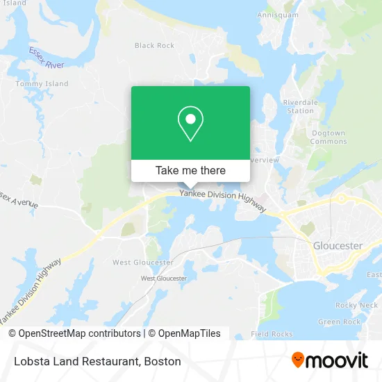
See Lobsta Land Restaurant, Gloucester, on the map
Public Transit to Lobsta Land Restaurant in Gloucester
Wondering how to get to Lobsta Land Restaurant in Gloucester? Moovit helps you find the best way to get to Lobsta Land Restaurant with step-by-step directions from the nearest public transit station.
Moovit provides free maps and live directions to help you navigate through your city. View schedules, routes, timetables, and find out how long does it take to get to Lobsta Land Restaurant in real time.
Looking for the nearest stop or station to Lobsta Land Restaurant? Check out this list of stops closest to your destination: West Gloucester.
Bus: GLOUCESTER - WEST GLOUCESTER - ESSEX.Train: NEWBURYPORT/ROCKPORT.
Want to see if there’s another route that gets you there at an earlier time? Moovit helps you find alternative routes or times. Get directions from and directions to Lobsta Land Restaurant easily from the Moovit App or Website.
We make riding to Lobsta Land Restaurant easy, which is why over 1.7 million users, including users in Gloucester, trust Moovit as the best app for public transit. You don’t need to download an individual bus app or train app, Moovit is your all-in-one transit app that helps you find the best bus time or train time available.
For information on prices of train and bus, costs and ride fares to Lobsta Land Restaurant, please check the Moovit app.
Use the app to navigate to popular places including to the airport, hospital, stadium, grocery store, mall, coffee shop, school, college, and university.
Lobsta Land Restaurant Address: 84 Causeway St street in Gloucester
- Concord Street & Becker Circle,
- Jehovah's Witnesses,
- Tico Painting,
- Pearce Island,
- Fisherman Taxi,
- Bathroom Remodeling Plumbing Plumbers,
- Gregverga Real Estate Broker,
- Center for Healthy Aging,
- VA Outpatient Center,
- Nurse Midwives of the NSBC,
- Associates in ob Gyn,
- Dr. Marny L. Williams D.D.S.,
- Burak Jason L DMD,
- True Shine Cleaning Services,
- Capital City Lodge,
- Cape Ann Campsite,
- Castle Manor Inn (Manor Hotel Gloucester),
- Final Art,
- Comfortable Foot Care,
- William Edgerton MD
Places Near Lobsta Land Restaurant (Gloucester)
- Prudential Center, Boston,
- Td Garden, Boston,
- Boston Medical Center, Boston,
- House Of Blues, Boston,
- North End, Boston,
- Mgm Music Hall, Boston,
- Wang Theater, Boston,
- Boston Common, Boston,
- Boston Convention & Exhibition Center, Boston,
- Quincy Market, Boston,
- Cheers, Boston,
- Castle Island, Boston,
- Wilbur Theatre, Boston,
- Isabella Stewart Gardner Museum, Boston,
- Leader Bank Pavilion (Leader Bank Pavillion), Boston,
- Museum Of Science, Boston,
- Faneuil Hall, Boston,
- Seaport District, Boston,
- Boston Children's Hospital, Boston,
- Massachusetts General Hospital, Boston
How to get to popular places in Boston with public transit
Get around Gloucester by public transit!
Traveling around Gloucester has never been so easy. See step by step directions as you travel to any attraction, street or major public transit station. View bus and train schedules, arrival times, service alerts and detailed routes on a map, so you know exactly how to get to anywhere in Gloucester.
When traveling to any destination around Gloucester use Moovit's Live Directions with Get Off Notifications to know exactly where and how far to walk, how long to wait for your line, and how many stops are left. Moovit will alert you when it's time to get off — no need to constantly re-check whether yours is the next stop.
Wondering how to use public transit in Gloucester or how to pay for public transit in Gloucester? Moovit public transit app can help you navigate your way with public transit easily, and at minimum cost. It includes public transit fees, ticket prices, and costs. Looking for a map of Gloucester public transit lines? Moovit public transit app shows all public transit maps in Gloucester with all Bus, Train, Subway and Ferry routes and stops on an interactive map.
Boston has 4 transit type(s), including: Bus, Train, Subway and Ferry, operated by several transit agencies, including MBTA, Southeastern Regional Transit Authority, MetroWest Regional Transit Authority, Rhode Island Public Transit Authority, WRTA, Lowell Regional Transit Authority, Merrimack Valley Transit, Montachusett Regional Transit Authority, Cape Cod Regional Transit Authority, Brockton Area Transit Authority, Martha's Vineyard Transit Authority, the WAVE - Nantucket Regional Transit Authority, GATRA, Cape Ann Transportation Authority and Massport