Directions to Locke Lord (Boston) with public transportation
The following transit lines have routes that pass near Locke Lord
 Bus: 1, 21, 54, 92, 27.
- Train: PROVIDENCE/STOUGHTON, ACELA, NORTHEAST REGIONAL, PROVIDENCE LINE SHUTTLE, PROVIDENCE LINE SHUTTLE.
How to get to Locke Lord by bus?
Click on the bus route to see step by step directions with maps, line arrival times and updated time schedules.
How to get to Locke Lord by train?
Click on the train route to see step by step directions with maps, line arrival times and updated time schedules.
Bus stops near Locke Lord in Boston
Train stations near Locke Lord in Boston
- Providence, 23 min walk,VIEW
Bus lines to Locke Lord in Boston
What are the closest stations to Locke Lord?
The closest stations to Locke Lord are:
- Broadway After Pallas is 144 yards away, 2 min walk.
- Atwells After Broadway is 357 yards away, 5 min walk.
- Providence is 1891 yards away, 23 min walk.
Which bus lines stop near Locke Lord?
These bus lines stop near Locke Lord: 1, 21, 54, 92.
Which train line stops near Locke Lord?
PROVIDENCE/STOUGHTON (#827 | Wickford Junction)
What’s the nearest train station to Locke Lord in Boston?
The nearest train station to Locke Lord in Boston is Providence. It’s a 23 min walk away.
What’s the nearest bus station to Locke Lord in Boston?
The nearest bus station to Locke Lord in Boston is Broadway After Pallas. It’s a 2 min walk away.
What time is the first train to Locke Lord in Boston?
The PROVIDENCE/STOUGHTON is the first train that goes to Locke Lord in Boston. It stops nearby at 4:10 AM.
What time is the last train to Locke Lord in Boston?
The NORTHEAST REGIONAL is the last train that goes to Locke Lord in Boston. It stops nearby at 9:17 AM.
What time is the first bus to Locke Lord in Boston?
The 28 is the first bus that goes to Locke Lord in Boston. It stops nearby at 5:40 AM.
What time is the last bus to Locke Lord in Boston?
The 27 is the last bus that goes to Locke Lord in Boston. It stops nearby at 11:33 PM.
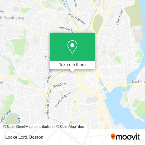
See Locke Lord, Boston, on the map
Public Transit to Locke Lord in Boston
Wondering how to get to Locke Lord in Boston? Moovit helps you find the best way to get to Locke Lord with step-by-step directions from the nearest public transit station.
Moovit provides free maps and live directions to help you navigate through your city. View schedules, routes, timetables, and find out how long does it take to get to Locke Lord in real time.
Looking for the nearest stop or station to Locke Lord? Check out this list of stops closest to your destination: Broadway After Pallas; Atwells After Broadway; Providence.
Bus: 1, 21, 54, 92, 27, 28.Train: PROVIDENCE/STOUGHTON, ACELA, NORTHEAST REGIONAL, PROVIDENCE LINE SHUTTLE, PROVIDENCE LINE SHUTTLE, PROVIDENCE LINE SHUTTLE, FOXBORO EVENT SERVICE.
Want to see if there’s another route that gets you there at an earlier time? Moovit helps you find alternative routes or times. Get directions from and directions to Locke Lord easily from the Moovit App or Website.
We make riding to Locke Lord easy, which is why over 1.7 million users, including users in Boston, trust Moovit as the best app for public transit. You don’t need to download an individual bus app or train app, Moovit is your all-in-one transit app that helps you find the best bus time or train time available.
For information on prices of bus and train, costs and ride fares to Locke Lord, please check the Moovit app.
Use the app to navigate to popular places including to the airport, hospital, stadium, grocery store, mall, coffee shop, school, college, and university.
Locke Lord Address: 2800 Financial Plz street in Boston
- Rightway Electric Ri,
- American Lung Association of Rhode Island,
- The Lasik Vision Institute,
- Architectural Paving & Stone,
- Warner & Company,
- Union Labor Life Insurance,
- Laplante Brian,
- Local 217 Unite Here,
- Communication Arts Group,
- Area401,
- Aa Locksmith Emergency,
- Bun Fun Burgers and Booze,
- Island House Grill and Bar,
- Umass Medical School,
- Aes Energy Development Partners,
- Abrams & Verri,
- Metlife,
- Dictation Equipment Center,
- Vision Government Solutions,
- Aston Carter
Places Near Locke Lord (Boston)
- Isabella Stewart Gardner Museum, Boston,
- Cheers, Boston,
- Seaport District, Boston,
- House Of Blues, Boston,
- Boston Common, Boston,
- Wilbur Theatre, Boston,
- Leader Bank Pavilion (Leader Bank Pavillion), Boston,
- Faneuil Hall, Boston,
- Boston Medical Center, Boston,
- Quincy Market, Boston,
- Boston Children's Hospital, Boston,
- Massachusetts General Hospital, Boston,
- North End, Boston,
- Boston Convention & Exhibition Center, Boston,
- Museum Of Science, Boston,
- Mgm Music Hall, Boston,
- Wang Theater, Boston,
- Castle Island, Boston,
- Prudential Center, Boston,
- Td Garden, Boston
How to get to popular places in Boston with public transit
Get around Boston by public transit!
Traveling around Boston has never been so easy. See step by step directions as you travel to any attraction, street or major public transit station. View bus and train schedules, arrival times, service alerts and detailed routes on a map, so you know exactly how to get to anywhere in Boston.
When traveling to any destination around Boston use Moovit's Live Directions with Get Off Notifications to know exactly where and how far to walk, how long to wait for your line, and how many stops are left. Moovit will alert you when it's time to get off — no need to constantly re-check whether yours is the next stop.
Wondering how to use public transit in Boston or how to pay for public transit in Boston? Moovit public transit app can help you navigate your way with public transit easily, and at minimum cost. It includes public transit fees, ticket prices, and costs. Looking for a map of Boston public transit lines? Moovit public transit app shows all public transit maps in Boston with all Bus, Train, Subway and Ferry routes and stops on an interactive map.
Boston has 4 transit type(s), including: Bus, Train, Subway and Ferry, operated by several transit agencies, including MBTA, Southeastern Regional Transit Authority, MetroWest Regional Transit Authority, Rhode Island Public Transit Authority, WRTA, Lowell Regional Transit Authority, Merrimack Valley Transit, Montachusett Regional Transit Authority, Cape Cod Regional Transit Authority, Brockton Area Transit Authority, Martha's Vineyard Transit Authority, the WAVE - Nantucket Regional Transit Authority, GATRA, Cape Ann Transportation Authority and Massport