Directions to Longfellow Chiropractic (Minneapolis) with public transportation
The following transit lines have routes that pass near Longfellow Chiropractic
 Bus: METRO B LINE, 9.
How to get to Longfellow Chiropractic by bus?
Click on the bus route to see step by step directions with maps, line arrival times and updated time schedules.
From Target Center, Minneapolis
39 minFrom Health Partners Specialty Center, St. Paul
50 minFrom Hyatt Place-Minneapolis Int'l South (Hyatt Place Minneapolis Airport - South), Bloomington
56 minFrom Mitchell Hamline School of Law, St. Paul
28 minFrom The Glory Hole, Minneapolis
34 minFrom Embassy Suites by Hilton Minneapolis Airport, Bloomington
57 minFrom Jordan, Minneapolis
65 minFrom Treasure Island Resort & Casino, St. Paul
52 minFrom Embassy Suites, Bloomington
57 minFrom Pantages Theater, Minneapolis
34 min
Bus stops near Longfellow Chiropractic in Minneapolis
Light Rail stations near Longfellow Chiropractic in Minneapolis
Bus lines to Longfellow Chiropractic in Minneapolis
What are the closest stations to Longfellow Chiropractic?
The closest stations to Longfellow Chiropractic are:
- Lake & 36th Ave Station is 126 yards away, 2 min walk.
- 36th Ave S & Lake St E is 154 yards away, 2 min walk.
- Lake Street Midtown Station is 1261 yards away, 16 min walk.
- Prospect Park is 1821 yards away, 22 min walk.
Which bus line stops near Longfellow Chiropractic?
METRO B LINE (Selby-Lake / Downtown St Paul)
What’s the nearest light rail station to Longfellow Chiropractic in Minneapolis?
The nearest light rail station to Longfellow Chiropractic in Minneapolis is Lake Street Midtown Station. It’s a 16 min walk away.
What’s the nearest bus station to Longfellow Chiropractic in Minneapolis?
The nearest bus stations to Longfellow Chiropractic in Minneapolis are Lake & 36th Ave Station and 36th Ave S & Lake St E. The closest one is a 2 min walk away.
What time is the first light rail to Longfellow Chiropractic in Minneapolis?
The METRO BLUE LINE is the first light rail that goes to Longfellow Chiropractic in Minneapolis. It stops nearby at 3:23 AM.
What time is the last light rail to Longfellow Chiropractic in Minneapolis?
The METRO BLUE LINE is the last light rail that goes to Longfellow Chiropractic in Minneapolis. It stops nearby at 12:34 AM.
What time is the first bus to Longfellow Chiropractic in Minneapolis?
The METRO B LINE is the first bus that goes to Longfellow Chiropractic in Minneapolis. It stops nearby at 4:20 AM.
What time is the last bus to Longfellow Chiropractic in Minneapolis?
The METRO B LINE is the last bus that goes to Longfellow Chiropractic in Minneapolis. It stops nearby at 1:38 AM.
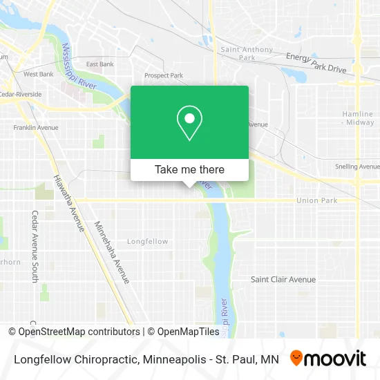
See Longfellow Chiropractic, Minneapolis, on the map
Public Transit to Longfellow Chiropractic in Minneapolis
Wondering how to get to Longfellow Chiropractic in Minneapolis? Moovit helps you find the best way to get to Longfellow Chiropractic with step-by-step directions from the nearest public transit station.
Moovit provides free maps and live directions to help you navigate through your city. View schedules, routes, timetables, and find out how long does it take to get to Longfellow Chiropractic in real time.
Looking for the nearest stop or station to Longfellow Chiropractic? Check out this list of stops closest to your destination: Lake & 36th Ave Station; 36th Ave S & Lake St E; Lake Street Midtown Station; Prospect Park.
Bus: METRO B LINE, 9.
Want to see if there’s another route that gets you there at an earlier time? Moovit helps you find alternative routes or times. Get directions from and directions to Longfellow Chiropractic easily from the Moovit App or Website.
We make riding to Longfellow Chiropractic easy, which is why over 1.7 million users, including users in Minneapolis, trust Moovit as the best app for public transit. You don’t need to download an individual bus app or train app, Moovit is your all-in-one transit app that helps you find the best bus time or train time available.
For information on prices of bus and light rail, costs and ride fares to Longfellow Chiropractic, please check the Moovit app.
Use the app to navigate to popular places including to the airport, hospital, stadium, grocery store, mall, coffee shop, school, college, and university.
Longfellow Chiropractic Address: 2901 Dorman Ave street in Minneapolis
- Ncca Nmun,
- White Sand Beach,
- Ma Gym,
- Lake Street Marshall Bridge,
- Minnehaha Academy - Upper School,
- Pergatech,
- Blue Line Medical Services,
- Ace Hardware (Frattallone's Hardware Stores),
- Thee House Uv Bethel,
- Short Line Bridge,
- Town & Country Golf Shop,
- Eknowlogie,
- Open Cupboard Designs,
- Secure Locksmith Key,
- East River Plaza Apartments,
- Longfellow,
- Mississippi Gorge Regional Park,
- Epworth United Methodist Church,
- Galapagos Bar And Grill,
- Seven Oaks Oval
Places Near Longfellow Chiropractic (Minneapolis)
- St. Paul College, St. Paul,
- Abbott Northwestern Piper Building, Minneapolis,
- Minnesota State Capitol, St. Paul,
- Mystic lake casino bus, Minneapolis,
- Surly Brewing Co., Minneapolis,
- 3m Arena at Mariucci, Minneapolis,
- Grand Casino Hinckley,MN, Minneapolis,
- Target Field, Minneapolis,
- Treasure Island Resort & Casino, St. Paul,
- Huntington Bank Stadium, Minneapolis,
- Xcel Energy Center, St. Paul,
- Bishop Henry Whipple Federal Building,
- Minnehaha Falls, Minneapolis,
- Minneapolis Institute of Art, Minneapolis,
- Target Center, Minneapolis,
- Northrop Auditorium, Minneapolis,
- Orpheum Theatre (Minneapolis, Minnesota), Minneapolis,
- Harriet Island Regional Park, St. Paul,
- Minneapolis Sculpture Garden, Minneapolis,
- Mpls. Convention Center, Minneapolis
How to get to popular places in Minneapolis - St. Paul, MN with public transit
Get around Minneapolis by public transit!
Traveling around Minneapolis has never been so easy. See step by step directions as you travel to any attraction, street or major public transit station. View bus and train schedules, arrival times, service alerts and detailed routes on a map, so you know exactly how to get to anywhere in Minneapolis.
When traveling to any destination around Minneapolis use Moovit's Live Directions with Get Off Notifications to know exactly where and how far to walk, how long to wait for your line, and how many stops are left. Moovit will alert you when it's time to get off — no need to constantly re-check whether yours is the next stop.
Wondering how to use public transit in Minneapolis or how to pay for public transit in Minneapolis? Moovit public transit app can help you navigate your way with public transit easily, and at minimum cost. It includes public transit fees, ticket prices, and costs. Looking for a map of Minneapolis public transit lines? Moovit public transit app shows all public transit maps in Minneapolis with all Bus, Train and Light Rail routes and stops on an interactive map.
Minneapolis - St. Paul, MN has 3 transit type(s), including: Bus, Train and Light Rail, operated by several transit agencies, including Metro Transit , Metro Transit, MVTA, Plymouth Metrolink, SouthWest Transit, Maple Grove, University of Minnesota, Airport (MAC), Amtrak, Mankato Transit System, SMART, FlixBus-us and Greyhound-us