Directions to Longhorn In Millbury (Worcester) with public transportation
The following transit lines have routes that pass near Longhorn In Millbury
 Bus: 2, 3, GREYHOUND US0230.
How to get to Longhorn In Millbury by bus?
Click on the bus route to see step by step directions with maps, line arrival times and updated time schedules.
Bus stops near Longhorn In Millbury in Worcester
What are the closest stations to Longhorn In Millbury?
The closest stations to Longhorn In Millbury are:
- Highland St + Suburban Rd is 196 yards away, 3 min walk.
- Pleasant St + Copley Rd is 235 yards away, 3 min walk.
Which bus lines stop near Longhorn In Millbury?
These bus lines stop near Longhorn In Millbury: 2, 3, GREYHOUND US0230.
What’s the nearest bus station to Longhorn In Millbury in Worcester?
The nearest bus stations to Longhorn In Millbury in Worcester are Highland St + Suburban Rd and Pleasant St + Copley Rd. The closest one is a 3 min walk away.
What time is the first bus to Longhorn In Millbury in Worcester?
The 3 is the first bus that goes to Longhorn In Millbury in Worcester. It stops nearby at 5:16 AM.
What time is the last bus to Longhorn In Millbury in Worcester?
The 3 is the last bus that goes to Longhorn In Millbury in Worcester. It stops nearby at 9:31 PM.
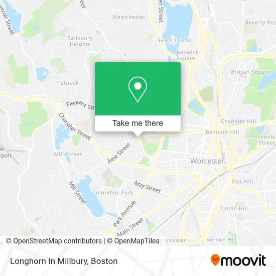
See Longhorn In Millbury, Worcester, on the map
Public Transit to Longhorn In Millbury in Worcester
Wondering how to get to Longhorn In Millbury in Worcester? Moovit helps you find the best way to get to Longhorn In Millbury with step-by-step directions from the nearest public transit station.
Moovit provides free maps and live directions to help you navigate through your city. View schedules, routes, timetables, and find out how long does it take to get to Longhorn In Millbury in real time.
Looking for the nearest stop or station to Longhorn In Millbury? Check out this list of stops closest to your destination: Highland St + Suburban Rd; Pleasant St + Copley Rd.
Bus: 2, 3, GREYHOUND US0230.
Want to see if there’s another route that gets you there at an earlier time? Moovit helps you find alternative routes or times. Get directions from and directions to Longhorn In Millbury easily from the Moovit App or Website.
We make riding to Longhorn In Millbury easy, which is why over 1.7 million users, including users in Worcester, trust Moovit as the best app for public transit. You don’t need to download an individual bus app or train app, Moovit is your all-in-one transit app that helps you find the best bus time or train time available.
For information on prices of bus and train, costs and ride fares to Longhorn In Millbury, please check the Moovit app.
Use the app to navigate to popular places including to the airport, hospital, stadium, grocery store, mall, coffee shop, school, college, and university.
Longhorn In Millbury Address: 2 June St street in Worcester
- Thomas A Rosiello Attorney,
- Fragrant Path Skin & Nail Spa,
- Primary Residential Mortgage Inc. - Worcester, Ma,
- Jennifer Barris Licsw,
- Newton Square Health Center PC,
- Autocare Brake Services,
- Donohue Associates Real Estate,
- Rivard Brenda M,
- Direct Auto Repair,
- Dunns Consulting,
- Gilbert L. Skidmore, LMHC,
- Duffy Field Playground,
- USPS Collection Box - Blue Box,
- James Shaffer Family First Life,
- Friends of Wetherell Park,
- Christ Jubilee Int'l Ministries-Worcester,
- Jean's Music Studio,
- Baskin Elaine,
- JCR Construction,
- Emmanuel K Boateng
Places Near Longhorn In Millbury (Worcester)
- Boston Convention & Exhibition Center, Boston,
- Castle Island, Boston,
- Museum Of Science, Boston,
- Wilbur Theatre, Boston,
- Seaport District, Boston,
- Quincy Market, Boston,
- House Of Blues, Boston,
- Cheers, Boston,
- Prudential Center, Boston,
- Massachusetts General Hospital, Boston,
- Isabella Stewart Gardner Museum, Boston,
- Boston Common, Boston,
- Boston Children's Hospital, Boston,
- North End, Boston,
- Td Garden, Boston,
- Wang Theater, Boston,
- Faneuil Hall, Boston,
- Mgm Music Hall, Boston,
- Boston Medical Center, Boston,
- Leader Bank Pavilion (Leader Bank Pavillion), Boston
How to get to popular places in Boston with public transit
Get around Worcester by public transit!
Traveling around Worcester has never been so easy. See step by step directions as you travel to any attraction, street or major public transit station. View bus and train schedules, arrival times, service alerts and detailed routes on a map, so you know exactly how to get to anywhere in Worcester.
When traveling to any destination around Worcester use Moovit's Live Directions with Get Off Notifications to know exactly where and how far to walk, how long to wait for your line, and how many stops are left. Moovit will alert you when it's time to get off — no need to constantly re-check whether yours is the next stop.
Wondering how to use public transit in Worcester or how to pay for public transit in Worcester? Moovit public transit app can help you navigate your way with public transit easily, and at minimum cost. It includes public transit fees, ticket prices, and costs. Looking for a map of Worcester public transit lines? Moovit public transit app shows all public transit maps in Worcester with all Bus, Train, Subway and Ferry routes and stops on an interactive map.
Boston has 4 transit type(s), including: Bus, Train, Subway and Ferry, operated by several transit agencies, including MBTA, Southeastern Regional Transit Authority, MetroWest Regional Transit Authority, Rhode Island Public Transit Authority, WRTA, Lowell Regional Transit Authority, Merrimack Valley Transit, Montachusett Regional Transit Authority, Cape Cod Regional Transit Authority, Brockton Area Transit Authority, Martha's Vineyard Transit Authority, the WAVE - Nantucket Regional Transit Authority, GATRA, Cape Ann Transportation Authority and Massport