How to get to Lowell Technological Institute by bus?
Click on the bus route to see step by step directions with maps, line arrival times and updated time schedules.
How to get to Lowell Technological Institute by train?
Click on the train route to see step by step directions with maps, line arrival times and updated time schedules.
Bus stops near Lowell Technological Institute
Bus lines to Lowell Technological Institute
What are the closest stations to Lowell Technological Institute?
The closest stations to Lowell Technological Institute are:
- Umass at Alumni Memorial Library (University Ave) is 96 yards away, 2 min walk.
- Umass Lowell North Campus is 447 yards away, 6 min walk.
- Mt Vernon St & Pawtucket St is 857 yards away, 11 min walk.
- Fox Hall Lalacheur Ball Park is 869 yards away, 11 min walk.
Which bus line stops near Lowell Technological Institute?
7 (Lowell Voke)
Which train line stops near Lowell Technological Institute?
LOWELL (#331 | Lowell)
What’s the nearest bus station to Lowell Technological Institute?
The nearest bus station to Lowell Technological Institute is Umass at Alumni Memorial Library (University Ave). It’s a 2 min walk away.
What time is the first bus to Lowell Technological Institute?
The 7 is the first bus that goes to Lowell Technological Institute. It stops nearby at 5:55 AM.
What time is the last bus to Lowell Technological Institute?
The 7 is the last bus that goes to Lowell Technological Institute. It stops nearby at 8:05 PM.
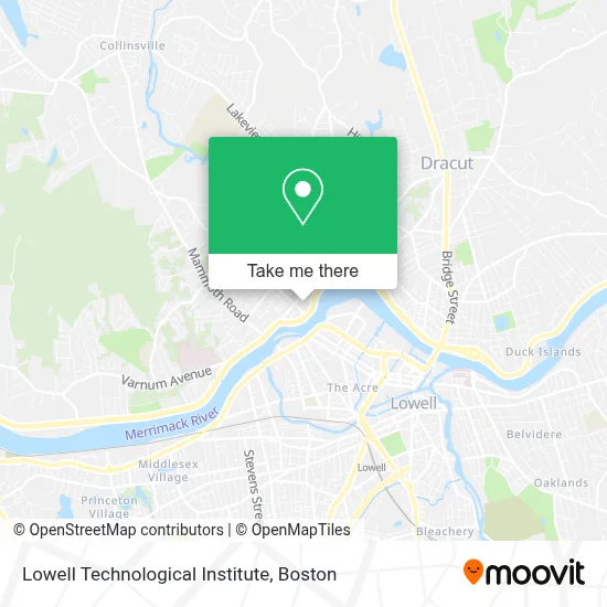
See Lowell Technological Institute on the map
Public Transportation to Lowell Technological Institute
Wondering how to get to Lowell Technological Institute? Moovit helps you find the best way to get to Lowell Technological Institute with step-by-step directions from the nearest public transit station.
Moovit provides free maps and live directions to help you navigate through your city. View schedules, routes, timetables, and find out how long does it take to get to Lowell Technological Institute in real time.
Looking for the nearest stop or station to Lowell Technological Institute? Check out this list of stops closest to your destination: Umass at Alumni Memorial Library (University Ave); Umass Lowell North Campus; Mt Vernon St & Pawtucket St; Fox Hall Lalacheur Ball Park.
Bus: 7, 20, 6, 9.Train: LOWELL.
Want to see if there’s another route that gets you there at an earlier time? Moovit helps you find alternative routes or times. Get directions from and directions to Lowell Technological Institute easily from the Moovit App or Website.
We make riding to Lowell Technological Institute easy, which is why over 1.7 million users, including users in Lowell, trust Moovit as the best app for public transit. You don’t need to download an individual bus app or train app, Moovit is your all-in-one transit app that helps you find the best bus time or train time available.
For information on prices of bus and train, costs and ride fares to Lowell Technological Institute, please check the Moovit app.
Use the app to navigate to popular places including to the airport, hospital, stadium, grocery store, mall, coffee shop, school, college, and university.
Location: Lowell, Boston
- Umass Lowell James B. Francis College of Engineering,
- Lawrence Lin Makerspace,
- River Hawk Racing,
- DUNKIN',
- Commonwealth of Massachusetts Administrative Offices,
- Greater Merrimack Valley,
- Alumni Memorial Library,
- Lowell Computers Services,
- Uml Society Of Women Engineer's Repair Cafe,
- Olney Hall,
- Universal Apartment Rentals,
- Kennedy College Of Sciences,
- Ekd Construction Services Llc,
- Rio Locksmith & Key,
- Yassa Grill,
- Sigma Tau Gamma - University of Massachusetts Lowell,
- Sigma Tau Gamma,
- Delta Kappa Phi,
- Gearnexon - Make To Mod,
- Emmanuel Home Care Services
Places Near Lowell Technological Institute
- Quincy Market, Boston,
- Museum Of Science, Boston,
- Cheers, Boston,
- North End, Boston,
- Castle Island, Boston,
- Seaport District, Boston,
- Wilbur Theatre, Boston,
- Td Garden, Boston,
- Mgm Music Hall, Boston,
- Isabella Stewart Gardner Museum, Boston,
- Boston Children's Hospital, Boston,
- Boston Medical Center, Boston,
- Wang Theater, Boston,
- House Of Blues, Boston,
- Prudential Center, Boston,
- Faneuil Hall, Boston,
- Leader Bank Pavilion (Leader Bank Pavillion), Boston,
- Boston Common, Boston,
- Massachusetts General Hospital, Boston,
- Boston Convention & Exhibition Center, Boston
How to get to popular places in Boston with public transit
Get around Lowell by public transit!
Traveling around Lowell has never been so easy. See step by step directions as you travel to any attraction, street or major public transit station. View bus and train schedules, arrival times, service alerts and detailed routes on a map, so you know exactly how to get to anywhere in Lowell.
When traveling to any destination around Lowell use Moovit's Live Directions with Get Off Notifications to know exactly where and how far to walk, how long to wait for your line, and how many stops are left. Moovit will alert you when it's time to get off — no need to constantly re-check whether yours is the next stop.
Wondering how to use public transit in Lowell or how to pay for public transit in Lowell? Moovit public transit app can help you navigate your way with public transit easily, and at minimum cost. It includes public transit fees, ticket prices, and costs. Looking for a map of Lowell public transit lines? Moovit public transit app shows all public transit maps in Lowell with all Bus, Train, Subway and Ferry routes and stops on an interactive map.
Boston has 4 transit type(s), including: Bus, Train, Subway and Ferry, operated by several transit agencies, including MBTA, Southeastern Regional Transit Authority, MetroWest Regional Transit Authority, Rhode Island Public Transit Authority, WRTA, Lowell Regional Transit Authority, Merrimack Valley Transit, Montachusett Regional Transit Authority, Cape Cod Regional Transit Authority, Brockton Area Transit Authority, Martha's Vineyard Transit Authority, the WAVE - Nantucket Regional Transit Authority, GATRA, Cape Ann Transportation Authority and Massport