How to get to Lunenburg Central Warehouse by bus?
Click on the bus route to see step by step directions with maps, line arrival times and updated time schedules.
Train station near Lunenburg Central Warehouse in Boston
- Shirley, 46 min walk,VIEW
What are the closest stations to Lunenburg Central Warehouse?
The closest stations to Lunenburg Central Warehouse are:
- Shirley is 3964 yards away, 46 min walk.
Which bus line stops near Lunenburg Central Warehouse?
8 (Monument Square West Street, Leominster→Monument Square West Street, Leominster)
Which train line stops near Lunenburg Central Warehouse?
FITCHBURG (#416 | North Station)
What time is the first train to Lunenburg Central Warehouse in Boston?
The FITCHBURG is the first train that goes to Lunenburg Central Warehouse in Boston. It stops nearby at 4:48 AM.
What time is the last train to Lunenburg Central Warehouse in Boston?
The FITCHBURG is the last train that goes to Lunenburg Central Warehouse in Boston. It stops nearby at 12:58 AM.
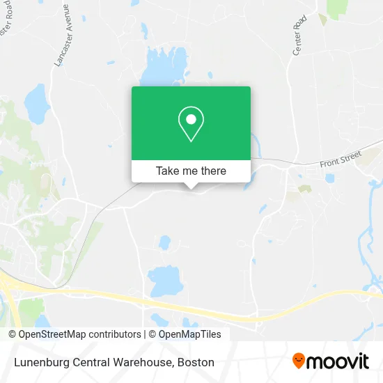
See Lunenburg Central Warehouse, Boston, on the map
Public Transit to Lunenburg Central Warehouse in Boston
Wondering how to get to Lunenburg Central Warehouse in Boston? Moovit helps you find the best way to get to Lunenburg Central Warehouse with step-by-step directions from the nearest public transit station.
Moovit provides free maps and live directions to help you navigate through your city. View schedules, routes, timetables, and find out how long does it take to get to Lunenburg Central Warehouse in real time.
Looking for the nearest stop or station to Lunenburg Central Warehouse? Check out this list of stops closest to your destination: Shirley.
Bus: 8.Train: FITCHBURG.
Want to see if there’s another route that gets you there at an earlier time? Moovit helps you find alternative routes or times. Get directions from and directions to Lunenburg Central Warehouse easily from the Moovit App or Website.
We make riding to Lunenburg Central Warehouse easy, which is why over 1.7 million users, including users in Boston, trust Moovit as the best app for public transit. You don’t need to download an individual bus app or train app, Moovit is your all-in-one transit app that helps you find the best bus time or train time available.
For information on prices of bus and train, costs and ride fares to Lunenburg Central Warehouse, please check the Moovit app.
Use the app to navigate to popular places including to the airport, hospital, stadium, grocery store, mall, coffee shop, school, college, and university.
Lunenburg Central Warehouse Address: 475 Leominster Shirley Rd street in Boston
- PJ Keating Company (Keating Asphalt Plant Lunenburg),
- Souza-Baranowski Correctional Center,
- Shirley, MA,
- Lancaster Recreation Beach (Lancaster Town Beach),
- Mci-Shirley (Minimum),
- Robbs Hill,
- Rest Area,
- Ece Central,
- Revival Dance Project,
- Capital One Atm,
- Celltreat Scientific Products,
- Whole Health Solutions,
- Lakeview Landscaping,
- Closets by Design - Boston,
- Giocon Inc,
- Photo OP Photography,
- Innovative Machine,
- Community Resources for Justice,
- Vibe Aesthetics,
- Structurvest
Places Near Lunenburg Central Warehouse (Boston)
- Wilbur Theatre, Boston,
- Faneuil Hall, Boston,
- Seaport District, Boston,
- House Of Blues, Boston,
- Cheers, Boston,
- Td Garden, Boston,
- Prudential Center, Boston,
- Quincy Market, Boston,
- Mgm Music Hall, Boston,
- Boston Convention & Exhibition Center, Boston,
- Isabella Stewart Gardner Museum, Boston,
- Leader Bank Pavilion (Leader Bank Pavillion), Boston,
- Boston Children's Hospital, Boston,
- Castle Island, Boston,
- North End, Boston,
- Museum Of Science, Boston,
- Boston Medical Center, Boston,
- Boston Common, Boston,
- Wang Theater, Boston,
- Massachusetts General Hospital, Boston
How to get to popular places in Boston with public transit
Get around Boston by public transit!
Traveling around Boston has never been so easy. See step by step directions as you travel to any attraction, street or major public transit station. View bus and train schedules, arrival times, service alerts and detailed routes on a map, so you know exactly how to get to anywhere in Boston.
When traveling to any destination around Boston use Moovit's Live Directions with Get Off Notifications to know exactly where and how far to walk, how long to wait for your line, and how many stops are left. Moovit will alert you when it's time to get off — no need to constantly re-check whether yours is the next stop.
Wondering how to use public transit in Boston or how to pay for public transit in Boston? Moovit public transit app can help you navigate your way with public transit easily, and at minimum cost. It includes public transit fees, ticket prices, and costs. Looking for a map of Boston public transit lines? Moovit public transit app shows all public transit maps in Boston with all Bus, Train, Subway and Ferry routes and stops on an interactive map.
Boston has 4 transit type(s), including: Bus, Train, Subway and Ferry, operated by several transit agencies, including MBTA, Southeastern Regional Transit Authority, MetroWest Regional Transit Authority, Rhode Island Public Transit Authority, WRTA, Lowell Regional Transit Authority, Merrimack Valley Transit, Montachusett Regional Transit Authority, Cape Cod Regional Transit Authority, Brockton Area Transit Authority, Martha's Vineyard Transit Authority, the WAVE - Nantucket Regional Transit Authority, GATRA, Cape Ann Transportation Authority and Massport