Directions to Lynne B. Ahn, Md (Framingham) with public transportation
The following transit lines have routes that pass near Lynne B. Ahn, Md
 Bus: 04N, 07, 07C, MBCS, 02.
- Train: FRAMINGHAM/WORCESTER, LAKE SHORE LIMITED.
How to get to Lynne B. Ahn, Md by bus?
Click on the bus route to see step by step directions with maps, line arrival times and updated time schedules.
How to get to Lynne B. Ahn, Md by train?
Click on the train route to see step by step directions with maps, line arrival times and updated time schedules.
Bus stops near Lynne B. Ahn, Md in Framingham
Train stations near Lynne B. Ahn, Md in Framingham
Bus lines to Lynne B. Ahn, Md in Framingham
What are the closest stations to Lynne B. Ahn, Md?
The closest stations to Lynne B. Ahn, Md are:
- Buckley Apts/Franklin & Mt. Wayte is 569 yards away, 7 min walk.
- Mass Bay Framingham is 632 yards away, 8 min walk.
- Metrowest Medical Center is 746 yards away, 10 min walk.
- Framingham is 2508 yards away, 30 min walk.
- Framingham Amtrak is 2508 yards away, 30 min walk.
Which bus lines stop near Lynne B. Ahn, Md?
These bus lines stop near Lynne B. Ahn, Md: 04N, 07, 07C, MBCS.
Which train line stops near Lynne B. Ahn, Md?
FRAMINGHAM/WORCESTER (#521 | Worcester)
What’s the nearest train station to Lynne B. Ahn, Md in Framingham?
The nearest train stations to Lynne B. Ahn, Md in Framingham are Framingham and Framingham Amtrak. The closest one is a 30 min walk away.
What’s the nearest bus station to Lynne B. Ahn, Md in Framingham?
The nearest bus station to Lynne B. Ahn, Md in Framingham is Buckley Apts/Franklin & Mt. Wayte. It’s a 7 min walk away.
What time is the first train to Lynne B. Ahn, Md in Framingham?
The FRAMINGHAM/WORCESTER is the first train that goes to Lynne B. Ahn, Md in Framingham. It stops nearby at 4:54 AM.
What time is the last train to Lynne B. Ahn, Md in Framingham?
The LAKE SHORE LIMITED is the last train that goes to Lynne B. Ahn, Md in Framingham. It stops nearby at 8:00 PM.
What time is the first bus to Lynne B. Ahn, Md in Framingham?
The 07C is the first bus that goes to Lynne B. Ahn, Md in Framingham. It stops nearby at 5:08 AM.
What time is the last bus to Lynne B. Ahn, Md in Framingham?
The 07 is the last bus that goes to Lynne B. Ahn, Md in Framingham. It stops nearby at 11:26 PM.
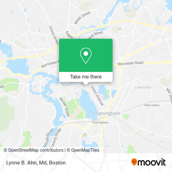
See Lynne B. Ahn, Md, Framingham, on the map
Public Transit to Lynne B. Ahn, Md in Framingham
Wondering how to get to Lynne B. Ahn, Md in Framingham? Moovit helps you find the best way to get to Lynne B. Ahn, Md with step-by-step directions from the nearest public transit station.
Moovit provides free maps and live directions to help you navigate through your city. View schedules, routes, timetables, and find out how long does it take to get to Lynne B. Ahn, Md in real time.
Looking for the nearest stop or station to Lynne B. Ahn, Md? Check out this list of stops closest to your destination: Buckley Apts/Franklin & Mt. Wayte; Mass Bay Framingham; Metrowest Medical Center; Framingham; Framingham Amtrak.
Bus: 04N, 07, 07C, MBCS, 02, 03.Train: FRAMINGHAM/WORCESTER, LAKE SHORE LIMITED.
Want to see if there’s another route that gets you there at an earlier time? Moovit helps you find alternative routes or times. Get directions from and directions to Lynne B. Ahn, Md easily from the Moovit App or Website.
We make riding to Lynne B. Ahn, Md easy, which is why over 1.7 million users, including users in Framingham, trust Moovit as the best app for public transit. You don’t need to download an individual bus app or train app, Moovit is your all-in-one transit app that helps you find the best bus time or train time available.
For information on prices of bus and train, costs and ride fares to Lynne B. Ahn, Md, please check the Moovit app.
Use the app to navigate to popular places including to the airport, hospital, stadium, grocery store, mall, coffee shop, school, college, and university.
Lynne B. Ahn, Md Address: 475 Franklin St Ste 110 street in Framingham
- Chira P Dominic Phys,
- Kuchnir Phys,
- DUNKIN',
- Camatillo Locksmith,
- Claudiio Farnesi Auto Repair,
- Framingham Public Schools,
- Alpha Auto Body,
- Kesari Santosh,
- Villari's Martial Arts Center,
- Centurion Legal Group,
- Patriot All Pro Physical Therapy Centers,
- Chippanyonk Lodge,
- Bras USA Automobile Repair,
- Salvation Army,
- Wbix am,
- Langer Broadcasting Group,
- The Aerobic Dog,
- Bowe John J Attorney at Law PC,
- Hygeia Medical Center,
- Fast Locksmith
Places Near Lynne B. Ahn, Md (Framingham)
- Castle Island, Boston,
- Faneuil Hall, Boston,
- Seaport District, Boston,
- Massachusetts General Hospital, Boston,
- Boston Convention & Exhibition Center, Boston,
- Boston Common, Boston,
- Leader Bank Pavilion (Leader Bank Pavillion), Boston,
- Mgm Music Hall, Boston,
- Td Garden, Boston,
- Wilbur Theatre, Boston,
- Boston Children's Hospital, Boston,
- House Of Blues, Boston,
- Isabella Stewart Gardner Museum, Boston,
- North End, Boston,
- Cheers, Boston,
- Quincy Market, Boston,
- Wang Theater, Boston,
- Prudential Center, Boston,
- Boston Medical Center, Boston,
- Museum Of Science, Boston
How to get to popular places in Boston with public transit
Get around Framingham by public transit!
Traveling around Framingham has never been so easy. See step by step directions as you travel to any attraction, street or major public transit station. View bus and train schedules, arrival times, service alerts and detailed routes on a map, so you know exactly how to get to anywhere in Framingham.
When traveling to any destination around Framingham use Moovit's Live Directions with Get Off Notifications to know exactly where and how far to walk, how long to wait for your line, and how many stops are left. Moovit will alert you when it's time to get off — no need to constantly re-check whether yours is the next stop.
Wondering how to use public transit in Framingham or how to pay for public transit in Framingham? Moovit public transit app can help you navigate your way with public transit easily, and at minimum cost. It includes public transit fees, ticket prices, and costs. Looking for a map of Framingham public transit lines? Moovit public transit app shows all public transit maps in Framingham with all Bus, Train, Subway and Ferry routes and stops on an interactive map.
Boston has 4 transit type(s), including: Bus, Train, Subway and Ferry, operated by several transit agencies, including MBTA, Southeastern Regional Transit Authority, MetroWest Regional Transit Authority, Rhode Island Public Transit Authority, WRTA, Lowell Regional Transit Authority, Merrimack Valley Transit, Montachusett Regional Transit Authority, Cape Cod Regional Transit Authority, Brockton Area Transit Authority, Martha's Vineyard Transit Authority, the WAVE - Nantucket Regional Transit Authority, GATRA, Cape Ann Transportation Authority and Massport