Directions to Lynne's Vintique (Newton) with public transportation
The following transit lines have routes that pass near Lynne's Vintique
 Bus: 52, 59.
- Train: NEEDHAM.
- Subway: GREEN LINE D.
How to get to Lynne's Vintique by bus?
Click on the bus route to see step by step directions with maps, line arrival times and updated time schedules.
From Skating Club Of Boston, Boston
50 minFrom New England Baptist Hospital, Boston
105 minFrom Forest Hills Station MBTA, Boston
78 minFrom Washington St, Boston
115 minFrom Brigham and Women's Hospital, Boston
73 minFrom Georgetown, Massachusetts, Boston
144 minFrom Belmont, MA, Belmont
60 minFrom Harvard Stadium, Boston
57 minFrom Dedham, MA, Dedham
137 minFrom Hotel Hilton Boston/Woburn, Boston
100 min
How to get to Lynne's Vintique by train?
Click on the train route to see step by step directions with maps, line arrival times and updated time schedules.
How to get to Lynne's Vintique by subway?
Click on the subway route to see step by step directions with maps, line arrival times and updated time schedules.
Bus stop near Lynne's Vintique in Newton
- Central Ave @ Saint Mary St, 1 min walk,VIEW
Subway station near Lynne's Vintique in Newton
- Eliot, 15 min walk,VIEW
Train station near Lynne's Vintique in Newton
- Needham Heights, 38 min walk,VIEW
Bus lines to Lynne's Vintique in Newton
- 59, Needham Junction Via Needham St,VIEW
What are the closest stations to Lynne's Vintique?
The closest stations to Lynne's Vintique are:
- Central Ave @ Saint Mary St is 54 yards away, 1 min walk.
- Eliot is 1246 yards away, 15 min walk.
- Needham Heights is 3228 yards away, 38 min walk.
Which bus lines stop near Lynne's Vintique?
These bus lines stop near Lynne's Vintique: 52, 59.
Which train line stops near Lynne's Vintique?
NEEDHAM (#625 | Needham Heights)
Which subway line stops near Lynne's Vintique?
GREEN LINE D (Riverside)
What’s the nearest subway station to Lynne's Vintique in Newton?
The nearest subway station to Lynne's Vintique in Newton is Eliot. It’s a 15 min walk away.
What’s the nearest bus station to Lynne's Vintique in Newton?
The nearest bus station to Lynne's Vintique in Newton is Central Ave @ Saint Mary St. It’s a 1 min walk away.
What time is the first subway to Lynne's Vintique in Newton?
The GREEN LINE D is the first subway that goes to Lynne's Vintique in Newton. It stops nearby at 4:46 AM.
What time is the last subway to Lynne's Vintique in Newton?
The GREEN LINE D is the last subway that goes to Lynne's Vintique in Newton. It stops nearby at 2:46 AM.
What time is the first train to Lynne's Vintique in Newton?
The NEEDHAM is the first train that goes to Lynne's Vintique in Newton. It stops nearby at 7:05 AM.
What time is the last train to Lynne's Vintique in Newton?
The NEEDHAM is the last train that goes to Lynne's Vintique in Newton. It stops nearby at 6:38 PM.
What time is the first bus to Lynne's Vintique in Newton?
The 59 is the first bus that goes to Lynne's Vintique in Newton. It stops nearby at 6:24 AM.
What time is the last bus to Lynne's Vintique in Newton?
The 59 is the last bus that goes to Lynne's Vintique in Newton. It stops nearby at 8:00 PM.
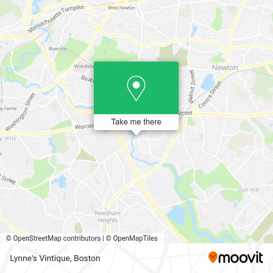
See Lynne's Vintique, Newton, on the map
Public Transit to Lynne's Vintique in Newton
Wondering how to get to Lynne's Vintique in Newton? Moovit helps you find the best way to get to Lynne's Vintique with step-by-step directions from the nearest public transit station.
Moovit provides free maps and live directions to help you navigate through your city. View schedules, routes, timetables, and find out how long does it take to get to Lynne's Vintique in real time.
Looking for the nearest stop or station to Lynne's Vintique? Check out this list of stops closest to your destination: Central Ave @ Saint Mary St; Eliot; Needham Heights.
Bus: 52, 59.Train: NEEDHAM.Subway: GREEN LINE D.
Want to see if there’s another route that gets you there at an earlier time? Moovit helps you find alternative routes or times. Get directions from and directions to Lynne's Vintique easily from the Moovit App or Website.
We make riding to Lynne's Vintique easy, which is why over 1.7 million users, including users in Newton, trust Moovit as the best app for public transit. You don’t need to download an individual bus app or train app, Moovit is your all-in-one transit app that helps you find the best bus time or train time available.
For information on prices of bus, subway and train, costs and ride fares to Lynne's Vintique, please check the Moovit app.
Use the app to navigate to popular places including to the airport, hospital, stadium, grocery store, mall, coffee shop, school, college, and university.
Lynne's Vintique Address: 381 Elliot St street in Newton
- St Basil's Syriac Orthodox Church, Boston, Ma,
- Newton Upper Falls Safelock,
- First United Methodist Church of Newton,
- Countryside Children's Center at Upper Falls,
- Free Claim Auto Glass,
- Newton Upper Falls Historic District,
- Locksmith of Newton Upper Falls,
- L&L Landscaping & Construction,
- Newton Engineering,
- Prana Plants,
- Te2 Engineering, LLC.,
- Medminder,
- Caretenders,
- Telecheck New England,
- Northeast Associates,
- Oram,
- Consolidated Funeral Services,
- Consolidated Funeral Services,
- Didi Design Group,
- Mary Immaculate of Lourdes
Places Near Lynne's Vintique (Newton)
- Quincy Market, Boston,
- Faneuil Hall, Boston,
- Boston Convention & Exhibition Center, Boston,
- Wang Theater, Boston,
- Boston Children's Hospital, Boston,
- Wilbur Theatre, Boston,
- Museum Of Science, Boston,
- Seaport District, Boston,
- Massachusetts General Hospital, Boston,
- Boston Common, Boston,
- Td Garden, Boston,
- House Of Blues, Boston,
- Leader Bank Pavilion (Leader Bank Pavillion), Boston,
- Cheers, Boston,
- North End, Boston,
- Mgm Music Hall, Boston,
- Castle Island, Boston,
- Boston Medical Center, Boston,
- Isabella Stewart Gardner Museum, Boston,
- Prudential Center, Boston
How to get to popular places in Boston with public transit
Get around Newton by public transit!
Traveling around Newton has never been so easy. See step by step directions as you travel to any attraction, street or major public transit station. View bus and train schedules, arrival times, service alerts and detailed routes on a map, so you know exactly how to get to anywhere in Newton.
When traveling to any destination around Newton use Moovit's Live Directions with Get Off Notifications to know exactly where and how far to walk, how long to wait for your line, and how many stops are left. Moovit will alert you when it's time to get off — no need to constantly re-check whether yours is the next stop.
Wondering how to use public transit in Newton or how to pay for public transit in Newton? Moovit public transit app can help you navigate your way with public transit easily, and at minimum cost. It includes public transit fees, ticket prices, and costs. Looking for a map of Newton public transit lines? Moovit public transit app shows all public transit maps in Newton with all Bus, Train, Subway and Ferry routes and stops on an interactive map.
Boston has 4 transit type(s), including: Bus, Train, Subway and Ferry, operated by several transit agencies, including MBTA, Southeastern Regional Transit Authority, MetroWest Regional Transit Authority, Rhode Island Public Transit Authority, WRTA, Lowell Regional Transit Authority, Merrimack Valley Transit, Montachusett Regional Transit Authority, Cape Cod Regional Transit Authority, Brockton Area Transit Authority, Martha's Vineyard Transit Authority, the WAVE - Nantucket Regional Transit Authority, GATRA, Cape Ann Transportation Authority and Massport