How to get to MBH Chiropractic by bus?
Click on the bus route to see step by step directions with maps, line arrival times and updated time schedules.
From Theodore Wirth Park, Golden Valley
88 minFrom Riverfront Flats at Upper Landing, St. Paul
52 minFrom The Westin Minneapolis, Minneapolis
42 minFrom State Theatre, Minneapolis
44 minFrom Target Center, Minneapolis
46 minFrom Empo, Minneapolis
62 minFrom Consulate of Mexico in Saint Paul, St. Paul
54 minFrom Saint Paul Farmers' Market (Impark Lot 193), St. Paul
46 min
Bus stops near MBH Chiropractic in St. Paul
Light Rail stations near MBH Chiropractic in St. Paul
- Fairview Avenue, 36 min walk,VIEW
Bus lines to MBH Chiropractic in St. Paul
What are the closest stations to MBH Chiropractic?
The closest stations to MBH Chiropractic are:
- Raymond Ave & Energy Park Dr is 85 yards away, 2 min walk.
- Como Ave & Raymond Ave is 691 yards away, 9 min walk.
- Cleveland Ave & Como Ave is 722 yards away, 9 min walk.
- Fairview Avenue is 3064 yards away, 36 min walk.
Which bus lines stop near MBH Chiropractic?
These bus lines stop near MBH Chiropractic: 3, 87.
What’s the nearest bus station to MBH Chiropractic in St. Paul?
The nearest bus station to MBH Chiropractic in St. Paul is Raymond Ave & Energy Park Dr. It’s a 2 min walk away.
What time is the first light rail to MBH Chiropractic in St. Paul?
The METRO GREEN LINE is the first light rail that goes to MBH Chiropractic in St. Paul. It stops nearby at 4:48 AM.
What time is the last light rail to MBH Chiropractic in St. Paul?
The METRO GREEN LINE is the last light rail that goes to MBH Chiropractic in St. Paul. It stops nearby at 11:46 PM.
What time is the first bus to MBH Chiropractic in St. Paul?
The 3 is the first bus that goes to MBH Chiropractic in St. Paul. It stops nearby at 4:25 AM.
What time is the last bus to MBH Chiropractic in St. Paul?
The 3 is the last bus that goes to MBH Chiropractic in St. Paul. It stops nearby at 1:52 AM.
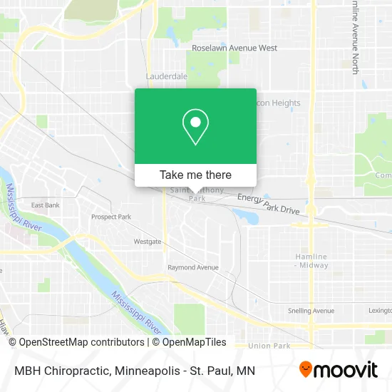
See MBH Chiropractic, St. Paul, on the map
Public Transit to MBH Chiropractic in St. Paul
Wondering how to get to MBH Chiropractic in St. Paul? Moovit helps you find the best way to get to MBH Chiropractic with step-by-step directions from the nearest public transit station.
Moovit provides free maps and live directions to help you navigate through your city. View schedules, routes, timetables, and find out how long does it take to get to MBH Chiropractic in real time.
Looking for the nearest stop or station to MBH Chiropractic? Check out this list of stops closest to your destination: Raymond Ave & Energy Park Dr; Como Ave & Raymond Ave; Cleveland Ave & Como Ave; Fairview Avenue.
Bus: 3, 87, 124.
Want to see if there’s another route that gets you there at an earlier time? Moovit helps you find alternative routes or times. Get directions from and directions to MBH Chiropractic easily from the Moovit App or Website.
We make riding to MBH Chiropractic easy, which is why over 1.7 million users, including users in St. Paul, trust Moovit as the best app for public transit. You don’t need to download an individual bus app or train app, Moovit is your all-in-one transit app that helps you find the best bus time or train time available.
For information on prices of bus and light rail, costs and ride fares to MBH Chiropractic, please check the Moovit app.
Use the app to navigate to popular places including to the airport, hospital, stadium, grocery store, mall, coffee shop, school, college, and university.
MBH Chiropractic Address: 1080 Raymond Ave St Paul, MN 55114 street in St. Paul
- Differential Auto Care,
- Hibernation Sleep MN: Nathaniel Cogswell, DDS, Dabdsm,
- ATM,
- Winner Gas Station,
- Twin City Saw,
- Cassidy Technologies,
- Macarthur Co.,
- Soderlin Plumbing Heating & Air Conditioning,
- Urban Growler,
- Bang Brewing Company,
- Urban Growler Brewing Co.,
- Bauch Walter G Attorney,
- Mnpta Student Special Interest Group - Ssig,
- Enlightened Mama,
- Superior Eco Markets,
- Fairview,
- Minnepau Veterinary Clinic,
- All American Metro Taxi & Limo,
- St. Anthony Park Home,
- The Wildflower Project
Places Near MBH Chiropractic (St. Paul)
- St. Paul College, St. Paul,
- Minneapolis Institute of Art, Minneapolis,
- Abbott Northwestern Piper Building, Minneapolis,
- Target Center, Minneapolis,
- Minnehaha Falls, Minneapolis,
- Target Field, Minneapolis,
- Harriet Island Regional Park, St. Paul,
- Treasure Island Resort & Casino, St. Paul,
- Minneapolis Sculpture Garden, Minneapolis,
- 3m Arena at Mariucci, Minneapolis,
- Huntington Bank Stadium, Minneapolis,
- Northrop Auditorium, Minneapolis,
- Xcel Energy Center, St. Paul,
- Mystic lake casino bus, Minneapolis,
- Mpls. Convention Center, Minneapolis,
- Bishop Henry Whipple Federal Building,
- Minnesota State Capitol, St. Paul,
- Surly Brewing Co., Minneapolis,
- Orpheum Theatre (Minneapolis, Minnesota), Minneapolis,
- Grand Casino Hinckley,MN, Minneapolis
How to get to popular places in Minneapolis - St. Paul, MN with public transit
Get around St. Paul by public transit!
Traveling around St. Paul has never been so easy. See step by step directions as you travel to any attraction, street or major public transit station. View bus and train schedules, arrival times, service alerts and detailed routes on a map, so you know exactly how to get to anywhere in St. Paul.
When traveling to any destination around St. Paul use Moovit's Live Directions with Get Off Notifications to know exactly where and how far to walk, how long to wait for your line, and how many stops are left. Moovit will alert you when it's time to get off — no need to constantly re-check whether yours is the next stop.
Wondering how to use public transit in St. Paul or how to pay for public transit in St. Paul? Moovit public transit app can help you navigate your way with public transit easily, and at minimum cost. It includes public transit fees, ticket prices, and costs. Looking for a map of St. Paul public transit lines? Moovit public transit app shows all public transit maps in St. Paul with all Bus, Train and Light Rail routes and stops on an interactive map.
Minneapolis - St. Paul, MN has 3 transit type(s), including: Bus, Train and Light Rail, operated by several transit agencies, including Metro Transit , Metro Transit, MVTA, Plymouth Metrolink, SouthWest Transit, Maple Grove, University of Minnesota, Airport (MAC), Amtrak, Mankato Transit System, SMART, FlixBus-us and Greyhound-us