Directions to M.S. Peltier Insurance Services, Llc (Dedham) with public transportation
The following transit lines have routes that pass near M.S. Peltier Insurance Services, Llc
How to get to M.S. Peltier Insurance Services, Llc by bus?
Click on the bus route to see step by step directions with maps, line arrival times and updated time schedules.
From Sheraton-Needham Hotel (Sheraton Boston Needham Hotel), Needham
139 minFrom Milton, MA, Milton
100 minFrom Washington St, Boston
78 minFrom The Monument, Boston
64 minFrom Codman Square, Boston
91 minFrom Jamaica Plain, Boston
64 minFrom West Roxbury, Boston
56 minFrom VFW Parkway, Boston
68 minFrom Forest Hills Station MBTA, Boston
48 minFrom Granite Links Golf Club at Quarry Hills, Quincy
134 min
How to get to M.S. Peltier Insurance Services, Llc by train?
Click on the train route to see step by step directions with maps, line arrival times and updated time schedules.
Train stations near M.S. Peltier Insurance Services, Llc in Dedham
Bus stop near M.S. Peltier Insurance Services, Llc in Dedham
- Dedham Corporate Center, 10 min walk,VIEW
Bus lines to M.S. Peltier Insurance Services, Llc in Dedham
What are the closest stations to M.S. Peltier Insurance Services, Llc?
The closest stations to M.S. Peltier Insurance Services, Llc are:
- Islington is 453 yards away, 6 min walk.
- Dedham Corporate Center is 809 yards away, 10 min walk.
- Readville is 2247 yards away, 28 min walk.
- Route 128 - Westwood is 4393 yards away, 52 min walk.
Which bus line stops near M.S. Peltier Insurance Services, Llc?
34E (Walpole Center Via Washington St)
Which train line stops near M.S. Peltier Insurance Services, Llc?
ACELA (Washington)
What’s the nearest train station to M.S. Peltier Insurance Services, Llc in Dedham?
The nearest train station to M.S. Peltier Insurance Services, Llc in Dedham is Islington. It’s a 6 min walk away.
What’s the nearest bus station to M.S. Peltier Insurance Services, Llc in Dedham?
The nearest bus station to M.S. Peltier Insurance Services, Llc in Dedham is Dedham Corporate Center. It’s a 10 min walk away.
What time is the first train to M.S. Peltier Insurance Services, Llc in Dedham?
The PROVIDENCE/STOUGHTON is the first train that goes to M.S. Peltier Insurance Services, Llc in Dedham. It stops nearby at 4:39 AM.
What time is the last train to M.S. Peltier Insurance Services, Llc in Dedham?
The NORTHEAST REGIONAL is the last train that goes to M.S. Peltier Insurance Services, Llc in Dedham. It stops nearby at 9:42 AM.
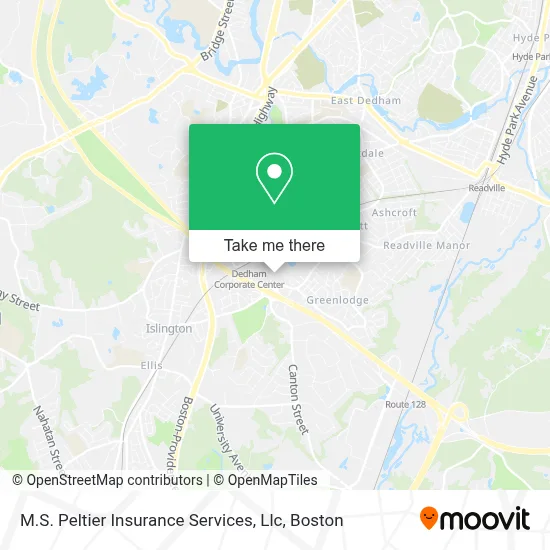
See M.S. Peltier Insurance Services, Llc, Dedham, on the map
Public Transit to M.S. Peltier Insurance Services, Llc in Dedham
Wondering how to get to M.S. Peltier Insurance Services, Llc in Dedham? Moovit helps you find the best way to get to M.S. Peltier Insurance Services, Llc with step-by-step directions from the nearest public transit station.
Moovit provides free maps and live directions to help you navigate through your city. View schedules, routes, timetables, and find out how long does it take to get to M.S. Peltier Insurance Services, Llc in real time.
Looking for the nearest stop or station to M.S. Peltier Insurance Services, Llc? Check out this list of stops closest to your destination: Islington; Dedham Corporate Center; Readville; Route 128 - Westwood.
Bus: 34E, FRANKLIN LINE SHUTTLE, FRANKLIN LINE SHUTTLE.Train: ACELA, FRANKLIN/FOXBORO, FAIRMOUNT, FOXBORO EVENT SERVICE, PROVIDENCE/STOUGHTON, NORTHEAST REGIONAL.
Want to see if there’s another route that gets you there at an earlier time? Moovit helps you find alternative routes or times. Get directions from and directions to M.S. Peltier Insurance Services, Llc easily from the Moovit App or Website.
We make riding to M.S. Peltier Insurance Services, Llc easy, which is why over 1.7 million users, including users in Dedham, trust Moovit as the best app for public transit. You don’t need to download an individual bus app or train app, Moovit is your all-in-one transit app that helps you find the best bus time or train time available.
For information on prices of bus and train, costs and ride fares to M.S. Peltier Insurance Services, Llc, please check the Moovit app.
Use the app to navigate to popular places including to the airport, hospital, stadium, grocery store, mall, coffee shop, school, college, and university.
M.S. Peltier Insurance Services, Llc Address: 3 Allied Dr Ste 303 street in Dedham
- The Law Offices of Mary R. Lacivita,
- McBride, Scicchitano & Leacox,
- HMS Financial Group,
- Hasbro,
- Moduslink Corporation,
- Normandy Real Estate Management,
- Canon Solutions America,
- Healthgrades Dedham/Boston,
- Shed Fat Loss,
- Law Office of Rachel Silvia,
- JMM Property Management,
- Dennis J. Swart - Architecture, PC,
- Asw Business Services,
- Northern Management Group LLC. - Dunkin' Franchise,
- Thomson Reuters,
- David Knechtle - Thrivent,
- DP Law,
- Kevin Nguyen - Thrivent,
- Dylan Moraes Ramos - Thrivent,
- Empower Communications Group
Places Near M.S. Peltier Insurance Services, Llc (Dedham)
- Massachusetts General Hospital, Boston,
- Boston Common, Boston,
- Prudential Center, Boston,
- Td Garden, Boston,
- Boston Medical Center, Boston,
- Boston Children's Hospital, Boston,
- House Of Blues, Boston,
- Boston Convention & Exhibition Center, Boston,
- Museum Of Science, Boston,
- Wang Theater, Boston,
- Isabella Stewart Gardner Museum, Boston,
- Quincy Market, Boston,
- Leader Bank Pavilion (Leader Bank Pavillion), Boston,
- Cheers, Boston,
- Castle Island, Boston,
- North End, Boston,
- Mgm Music Hall, Boston,
- Wilbur Theatre, Boston,
- Seaport District, Boston,
- Faneuil Hall, Boston
How to get to popular places in Boston with public transit
Get around Dedham by public transit!
Traveling around Dedham has never been so easy. See step by step directions as you travel to any attraction, street or major public transit station. View bus and train schedules, arrival times, service alerts and detailed routes on a map, so you know exactly how to get to anywhere in Dedham.
When traveling to any destination around Dedham use Moovit's Live Directions with Get Off Notifications to know exactly where and how far to walk, how long to wait for your line, and how many stops are left. Moovit will alert you when it's time to get off — no need to constantly re-check whether yours is the next stop.
Wondering how to use public transit in Dedham or how to pay for public transit in Dedham? Moovit public transit app can help you navigate your way with public transit easily, and at minimum cost. It includes public transit fees, ticket prices, and costs. Looking for a map of Dedham public transit lines? Moovit public transit app shows all public transit maps in Dedham with all Bus, Train, Subway and Ferry routes and stops on an interactive map.
Boston has 4 transit type(s), including: Bus, Train, Subway and Ferry, operated by several transit agencies, including MBTA, Southeastern Regional Transit Authority, MetroWest Regional Transit Authority, Rhode Island Public Transit Authority, WRTA, Lowell Regional Transit Authority, Merrimack Valley Transit, Montachusett Regional Transit Authority, Cape Cod Regional Transit Authority, Brockton Area Transit Authority, Martha's Vineyard Transit Authority, the WAVE - Nantucket Regional Transit Authority, GATRA, Cape Ann Transportation Authority and Massport