Directions to Maco's Bait And Tackle (Boston) with public transportation
The following transit lines have routes that pass near Maco's Bait And Tackle
 Bus: BOURNE RUN, SANDWICH LINE, WARE, WP.
- Train: CAPEFLYER.
How to get to Maco's Bait And Tackle by bus?
Click on the bus route to see step by step directions with maps, line arrival times and updated time schedules.
Train station near Maco's Bait And Tackle in Boston
- Bourne, 12 min walk,VIEW
What are the closest stations to Maco's Bait And Tackle?
The closest stations to Maco's Bait And Tackle are:
- Bourne is 977 yards away, 12 min walk.
Which bus lines stop near Maco's Bait And Tackle?
These bus lines stop near Maco's Bait And Tackle: BOURNE RUN, SANDWICH LINE, WARE, WP.
What’s the nearest train station to Maco's Bait And Tackle in Boston?
The nearest train station to Maco's Bait And Tackle in Boston is Bourne. It’s a 12 min walk away.
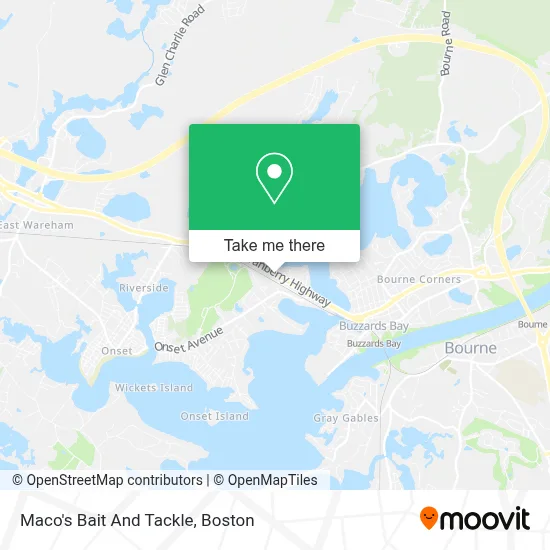
See Maco's Bait And Tackle, Boston, on the map
Public Transit to Maco's Bait And Tackle in Boston
Wondering how to get to Maco's Bait And Tackle in Boston? Moovit helps you find the best way to get to Maco's Bait And Tackle with step-by-step directions from the nearest public transit station.
Moovit provides free maps and live directions to help you navigate through your city. View schedules, routes, timetables, and find out how long does it take to get to Maco's Bait And Tackle in real time.
Looking for the nearest stop or station to Maco's Bait And Tackle? Check out this list of stops closest to your destination: Bourne.
Bus: BOURNE RUN, SANDWICH LINE, WARE, WP.Train: CAPEFLYER.
Want to see if there’s another route that gets you there at an earlier time? Moovit helps you find alternative routes or times. Get directions from and directions to Maco's Bait And Tackle easily from the Moovit App or Website.
We make riding to Maco's Bait And Tackle easy, which is why over 1.7 million users, including users in Boston, trust Moovit as the best app for public transit. You don’t need to download an individual bus app or train app, Moovit is your all-in-one transit app that helps you find the best bus time or train time available.
For information on prices of bus, train and ferry, costs and ride fares to Maco's Bait And Tackle, please check the Moovit app.
Use the app to navigate to popular places including to the airport, hospital, stadium, grocery store, mall, coffee shop, school, college, and university.
Maco's Bait And Tackle Address: 3173 Cranberry Hwy street in Boston
- Jefferson Shores,
- Frank Pepe Pizzeria Napoletana,
- Wind Turbine,
- Law Office of James R. McMahon, III, PC,
- Deb's Dog House,
- Brows Boutique and Spa,
- Mass Maritime Academy,
- Major Construction,
- Buzzards Bay Station,
- The Polar Express Train Ride,
- Greyhound Bus,
- The Fisherman Statue,
- Home Heating & Cooling Repair,
- Nares Realty,
- Shore Fire Pizza,
- Mic's Main Scoop,
- Blier Enterprises Inc.,
- We Meet by Accident,
- Design First,
- O'Playsis
Places Near Maco's Bait And Tackle (Boston)
- Boston Convention & Exhibition Center, Boston,
- Castle Island, Boston,
- Museum Of Science, Boston,
- Wilbur Theatre, Boston,
- Seaport District, Boston,
- Quincy Market, Boston,
- House Of Blues, Boston,
- Cheers, Boston,
- Prudential Center, Boston,
- Massachusetts General Hospital, Boston,
- Isabella Stewart Gardner Museum, Boston,
- Boston Common, Boston,
- Boston Children's Hospital, Boston,
- North End, Boston,
- Td Garden, Boston,
- Wang Theater, Boston,
- Faneuil Hall, Boston,
- Mgm Music Hall, Boston,
- Boston Medical Center, Boston,
- Leader Bank Pavilion (Leader Bank Pavillion), Boston
How to get to popular places in Boston with public transit
Get around Boston by public transit!
Traveling around Boston has never been so easy. See step by step directions as you travel to any attraction, street or major public transit station. View bus and train schedules, arrival times, service alerts and detailed routes on a map, so you know exactly how to get to anywhere in Boston.
When traveling to any destination around Boston use Moovit's Live Directions with Get Off Notifications to know exactly where and how far to walk, how long to wait for your line, and how many stops are left. Moovit will alert you when it's time to get off — no need to constantly re-check whether yours is the next stop.
Wondering how to use public transit in Boston or how to pay for public transit in Boston? Moovit public transit app can help you navigate your way with public transit easily, and at minimum cost. It includes public transit fees, ticket prices, and costs. Looking for a map of Boston public transit lines? Moovit public transit app shows all public transit maps in Boston with all Bus, Train, Subway and Ferry routes and stops on an interactive map.
Boston has 4 transit type(s), including: Bus, Train, Subway and Ferry, operated by several transit agencies, including MBTA, Southeastern Regional Transit Authority, MetroWest Regional Transit Authority, Rhode Island Public Transit Authority, WRTA, Lowell Regional Transit Authority, Merrimack Valley Transit, Montachusett Regional Transit Authority, Cape Cod Regional Transit Authority, Brockton Area Transit Authority, Martha's Vineyard Transit Authority, the WAVE - Nantucket Regional Transit Authority, GATRA, Cape Ann Transportation Authority and Massport