How to get to Magikal Makings by bus?
Click on the bus route to see step by step directions with maps, line arrival times and updated time schedules.
Bus stops near Magikal Makings in Boston
Bus lines to Magikal Makings in Boston
What are the closest stations to Magikal Makings?
The closest stations to Magikal Makings are:
- Arctic Center (Main Before Washington) is 81 yards away, 1 min walk.
- Arctic Center (Main Before St Mary) is 144 yards away, 2 min walk.
Which bus lines stop near Magikal Makings?
These bus lines stop near Magikal Makings: 13, 23.
What’s the nearest bus station to Magikal Makings in Boston?
The nearest bus station to Magikal Makings in Boston is Arctic Center (Main Before Washington). It’s a 1 min walk away.
What time is the first bus to Magikal Makings in Boston?
The 13 is the first bus that goes to Magikal Makings in Boston. It stops nearby at 5:41 AM.
What time is the last bus to Magikal Makings in Boston?
The 13 is the last bus that goes to Magikal Makings in Boston. It stops nearby at 9:53 PM.
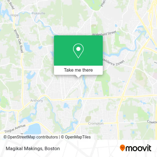
See Magikal Makings, Boston, on the map
Public Transit to Magikal Makings in Boston
Wondering how to get to Magikal Makings in Boston? Moovit helps you find the best way to get to Magikal Makings with step-by-step directions from the nearest public transit station.
Moovit provides free maps and live directions to help you navigate through your city. View schedules, routes, timetables, and find out how long does it take to get to Magikal Makings in real time.
Looking for the nearest stop or station to Magikal Makings? Check out this list of stops closest to your destination: Arctic Center (Main Before Washington); Arctic Center (Main Before St Mary).
Bus: 13, 23, 12X.
Want to see if there’s another route that gets you there at an earlier time? Moovit helps you find alternative routes or times. Get directions from and directions to Magikal Makings easily from the Moovit App or Website.
We make riding to Magikal Makings easy, which is why over 1.7 million users, including users in Boston, trust Moovit as the best app for public transit. You don’t need to download an individual bus app or train app, Moovit is your all-in-one transit app that helps you find the best bus time or train time available.
For information on prices of bus, costs and ride fares to Magikal Makings, please check the Moovit app.
Use the app to navigate to popular places including to the airport, hospital, stadium, grocery store, mall, coffee shop, school, college, and university.
Magikal Makings Address: 1227 Main St street in Boston
- Mazzotta Insurance,
- Ocean State Mobile Imaging,
- R.I. Bounce Party Rental,
- Thomas Worsley,
- Fast Pitch Performance,
- Town of East Greenwich or Community Deve,
- Sherri's,
- A A Auto 24hr Lock Outs & Locksmith,
- Jesus King International Ministries,
- Lifebuild Health,
- Shodan Karate,
- 1290 Main St Parking,
- Christ the Redeemer Academy,
- Hong Kong Restaurant ,
- Scoden Network Solutions,
- Sharkbay Playspace,
- Jazmin's Gifts & Novelties,
- FedEx Drop Box,
- Drug Rehab West Warwick,
- A A A 24 Hour Locksmith
Places Near Magikal Makings (Boston)
- Seaport District, Boston,
- Museum Of Science, Boston,
- Boston Children's Hospital, Boston,
- Faneuil Hall, Boston,
- Leader Bank Pavilion (Leader Bank Pavillion), Boston,
- Wilbur Theatre, Boston,
- House Of Blues, Boston,
- North End, Boston,
- Boston Medical Center, Boston,
- Castle Island, Boston,
- Boston Convention & Exhibition Center, Boston,
- Quincy Market, Boston,
- Boston Common, Boston,
- Td Garden, Boston,
- Wang Theater, Boston,
- Massachusetts General Hospital, Boston,
- Cheers, Boston,
- Mgm Music Hall, Boston,
- Prudential Center, Boston,
- Isabella Stewart Gardner Museum, Boston
How to get to popular places in Boston with public transit
Get around Boston by public transit!
Traveling around Boston has never been so easy. See step by step directions as you travel to any attraction, street or major public transit station. View bus and train schedules, arrival times, service alerts and detailed routes on a map, so you know exactly how to get to anywhere in Boston.
When traveling to any destination around Boston use Moovit's Live Directions with Get Off Notifications to know exactly where and how far to walk, how long to wait for your line, and how many stops are left. Moovit will alert you when it's time to get off — no need to constantly re-check whether yours is the next stop.
Wondering how to use public transit in Boston or how to pay for public transit in Boston? Moovit public transit app can help you navigate your way with public transit easily, and at minimum cost. It includes public transit fees, ticket prices, and costs. Looking for a map of Boston public transit lines? Moovit public transit app shows all public transit maps in Boston with all Bus, Train, Subway and Ferry routes and stops on an interactive map.
Boston has 4 transit type(s), including: Bus, Train, Subway and Ferry, operated by several transit agencies, including MBTA, Southeastern Regional Transit Authority, MetroWest Regional Transit Authority, Rhode Island Public Transit Authority, WRTA, Lowell Regional Transit Authority, Merrimack Valley Transit, Montachusett Regional Transit Authority, Cape Cod Regional Transit Authority, Brockton Area Transit Authority, Martha's Vineyard Transit Authority, the WAVE - Nantucket Regional Transit Authority, GATRA, Cape Ann Transportation Authority and Massport