Directions to Maid Easy Cleaning Services (Anne Arundel County) with public transportation
The following transit lines have routes that pass near Maid Easy Cleaning Services
 Bus: 69, 70.
- Light Rail: LIGHT RAILLINK.
How to get to Maid Easy Cleaning Services by bus?
Click on the bus route to see step by step directions with maps, line arrival times and updated time schedules.
From Oriole Park At Camden Yards, Baltimore
66 minFrom Maryland Live! Casino, Anne Arundel County
114 minFrom Guinness Open Gate Brewery & Barrel House, Baltimore County
91 minFrom Camden Yards, Baltimore
59 minFrom Walmart, Baltimore County
67 minFrom Baltimore Convention Center, Baltimore
58 minFrom B&O Railroad Museum, Baltimore
64 minFrom Maryland Science Center, Baltimore
53 minFrom Arundel Mills, Anne Arundel County
113 minFrom Pier Six Pavilion, Baltimore
70 min
Light Rail stations near Maid Easy Cleaning Services in Anne Arundel County
- Linthicum, 14 min walk,VIEW
What are the closest stations to Maid Easy Cleaning Services?
The closest stations to Maid Easy Cleaning Services are:
- Linthicum is 1136 yards away, 14 min walk.
Which bus lines stop near Maid Easy Cleaning Services?
These bus lines stop near Maid Easy Cleaning Services: 69, 70.
Which light rail line stops near Maid Easy Cleaning Services?
LIGHT RAILLINK (Soutbound)
What’s the nearest light rail station to Maid Easy Cleaning Services in Anne Arundel County?
The nearest light rail station to Maid Easy Cleaning Services in Anne Arundel County is Linthicum. It’s a 14 min walk away.
What time is the first light rail to Maid Easy Cleaning Services in Anne Arundel County?
The LIGHT RAILLINK is the first light rail that goes to Maid Easy Cleaning Services in Anne Arundel County. It stops nearby at 4:31 AM.
What time is the last light rail to Maid Easy Cleaning Services in Anne Arundel County?
The LIGHT RAILLINK is the last light rail that goes to Maid Easy Cleaning Services in Anne Arundel County. It stops nearby at 12:53 AM.
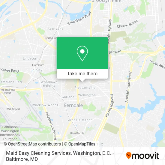
See Maid Easy Cleaning Services, Anne Arundel County, on the map
Public Transit to Maid Easy Cleaning Services in Anne Arundel County
Wondering how to get to Maid Easy Cleaning Services in Anne Arundel County? Moovit helps you find the best way to get to Maid Easy Cleaning Services with step-by-step directions from the nearest public transit station.
Moovit provides free maps and live directions to help you navigate through your city. View schedules, routes, timetables, and find out how long does it take to get to Maid Easy Cleaning Services in real time.
Looking for the nearest stop or station to Maid Easy Cleaning Services? Check out this list of stops closest to your destination: Linthicum.
Bus: 69, 70.Light Rail: LIGHT RAILLINK.
Want to see if there’s another route that gets you there at an earlier time? Moovit helps you find alternative routes or times. Get directions from and directions to Maid Easy Cleaning Services easily from the Moovit App or Website.
We make riding to Maid Easy Cleaning Services easy, which is why over 1.7 million users, including users in Anne Arundel County, trust Moovit as the best app for public transit. You don’t need to download an individual bus app or train app, Moovit is your all-in-one transit app that helps you find the best bus time or train time available.
For information on prices of bus and light rail, costs and ride fares to Maid Easy Cleaning Services, please check the Moovit app.
Use the app to navigate to popular places including to the airport, hospital, stadium, grocery store, mall, coffee shop, school, college, and university.
Maid Easy Cleaning Services Address: 1711 Tieman Dr street in Anne Arundel County
- STARBUCKS,
- Nanys Shapewear & Jeans Colombianos,
- MVA Glen Burnie,
- Ray's Mva Cafeteria,
- Ritchie Hwy & Mva NB,
- Navy Federal Credit Union,
- MD-648 (SH-648),
- Ollie's Bargain Outlet,
- Walmart,
- Patient First Primary and Urgent Care - Glen Burnie,
- Anchor Towing & Roadside,
- I-97 Exit 16 (Baltimore Annapolis Blvd / MD 648),
- 8th Avenue Flea Market,
- Walmart Supercenter,
- Mariana Tacos Rosales,
- Cromwell Station / Glen Burnie Light Rail Station,
- Cromwell Station/Glen Burnie,
- Cromwell Light Rail Station Bay 2,
- Uncle Leo's Bargain Bin,
- Linthicum Community Library: Anne Arundel County Public Library (AACPL)
Places Near Maid Easy Cleaning Services (Anne Arundel County)
- Warner Theatre, Washington,
- Washington DC VA Medical Center, Washington,
- National Museum of African American History and Culture, Washington,
- The Anthem, Washington,
- Georgetown, Washington,
- PG Mall, Prince George's County,
- National Theatre, Washington,
- Washington National Cathedral, Washington,
- Amazon Hq2, Arlington County,
- Rock Creek Tennis Center, Washington,
- Pennsylvania Ave NW (3rd st and pennsylvania), Washington,
- Basilica of the National Shrine, Washington,
- M&T Bank Stadium, Baltimore,
- Camden Yards, Baltimore,
- Westfield Montgomery Mall, Montgomery County,
- Sibley Memorial Hospital, Washington,
- Capital One Arena, Washington,
- National Zoo, Washington,
- Museum Of The Bible, Washington,
- Marriott Marquis Washington, DC, Washington
How to get to popular places in Washington, D.C. - Baltimore, MD with public transit
Get around Anne Arundel County by public transit!
Traveling around Anne Arundel County has never been so easy. See step by step directions as you travel to any attraction, street or major public transit station. View bus and train schedules, arrival times, service alerts and detailed routes on a map, so you know exactly how to get to anywhere in Anne Arundel County.
When traveling to any destination around Anne Arundel County use Moovit's Live Directions with Get Off Notifications to know exactly where and how far to walk, how long to wait for your line, and how many stops are left. Moovit will alert you when it's time to get off — no need to constantly re-check whether yours is the next stop.
Wondering how to use public transit in Anne Arundel County or how to pay for public transit in Anne Arundel County? Moovit public transit app can help you navigate your way with public transit easily, and at minimum cost. It includes public transit fees, ticket prices, and costs. Looking for a map of Anne Arundel County public transit lines? Moovit public transit app shows all public transit maps in Anne Arundel County with all Bus, Train, Metro, Light Rail and Ferry routes and stops on an interactive map.
Washington, D.C. - Baltimore, MD has 5 transit type(s), including: Bus, Train, Metro, Light Rail and Ferry, operated by several transit agencies, including WMATA, Montgomery County Ride On, Fairfax Connector, TheBus, PRTC, DASH - Alexandria, Arlington Transit (ART), RTA of Central Maryland, MDOT MTA, MDOT MTA Light RailLink, MDOT MTA Commuter Bus, MDOT MTA Local Bus, FXBGO!, Virginia Railway Express (VRE) and MARC