Directions to North County High Turf Field (Anne Arundel County) with public transportation
The following transit lines have routes that pass near North County High Turf Field
 Bus: 69, 70.
- Light Rail: LIGHT RAILLINK.
How to get to North County High Turf Field by bus?
Click on the bus route to see step by step directions with maps, line arrival times and updated time schedules.
From Oriole Park At Camden Yards, Baltimore
85 minFrom University Of Maryland Baltimore (Umbc), Baltimore County
124 minFrom Maryland, Baltimore
87 minFrom Walmart Supercenter, Baltimore County
87 minFrom B&O Railroad Museum, Baltimore
83 minFrom Oriole Park at Camden Yards, Baltimore
84 minFrom M&T Bank Stadium, Baltimore
86 minFrom Maryland Science Center, Baltimore
73 minFrom Walmart, Baltimore County
86 minFrom Archbishop Spalding High School, Severn
70 min
Light Rail stations near North County High Turf Field in Anne Arundel County
- Linthicum, 20 min walk,VIEW
What are the closest stations to North County High Turf Field?
The closest stations to North County High Turf Field are:
- Linthicum is 1685 yards away, 20 min walk.
Which bus lines stop near North County High Turf Field?
These bus lines stop near North County High Turf Field: 69, 70.
Which light rail line stops near North County High Turf Field?
LIGHT RAILLINK (Soutbound)
What’s the nearest light rail station to North County High Turf Field in Anne Arundel County?
The nearest light rail station to North County High Turf Field in Anne Arundel County is Linthicum. It’s a 20 min walk away.
What time is the first light rail to North County High Turf Field in Anne Arundel County?
The LIGHT RAILLINK is the first light rail that goes to North County High Turf Field in Anne Arundel County. It stops nearby at 4:32 AM.
What time is the last light rail to North County High Turf Field in Anne Arundel County?
The LIGHT RAILLINK is the last light rail that goes to North County High Turf Field in Anne Arundel County. It stops nearby at 12:48 AM.
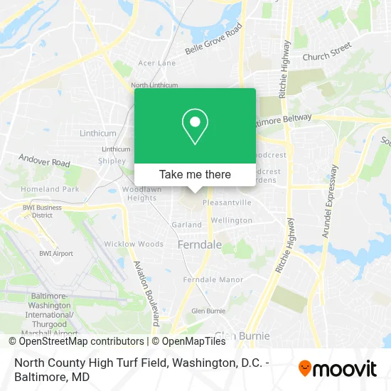
See North County High Turf Field, Anne Arundel County, on the map
Public Transit to North County High Turf Field in Anne Arundel County
Wondering how to get to North County High Turf Field in Anne Arundel County? Moovit helps you find the best way to get to North County High Turf Field with step-by-step directions from the nearest public transit station.
Moovit provides free maps and live directions to help you navigate through your city. View schedules, routes, timetables, and find out how long does it take to get to North County High Turf Field in real time.
Looking for the nearest stop or station to North County High Turf Field? Check out this list of stops closest to your destination: Linthicum.
Bus: 69, 70.Light Rail: LIGHT RAILLINK.
Want to see if there’s another route that gets you there at an earlier time? Moovit helps you find alternative routes or times. Get directions from and directions to North County High Turf Field easily from the Moovit App or Website.
We make riding to North County High Turf Field easy, which is why over 1.7 million users, including users in Anne Arundel County, trust Moovit as the best app for public transit. You don’t need to download an individual bus app or train app, Moovit is your all-in-one transit app that helps you find the best bus time or train time available.
For information on prices of bus and light rail, costs and ride fares to North County High Turf Field, please check the Moovit app.
Use the app to navigate to popular places including to the airport, hospital, stadium, grocery store, mall, coffee shop, school, college, and university.
Location: Anne Arundel County, Washington, D.C. - Baltimore, MD
- North County Auditorium,
- Anne Arundel County Elementary School,
- Dab-A-Doo In Home Daycare,
- Specworx Llc Home Inspection Services,
- Ars Lawn Care,
- Maid Easy Cleaning Services,
- High Point Independent Baptist Church,
- Jeanette's School Of the Dance,
- All Smiles Childcare,
- Eclipse Barbershop,
- Western Union,
- 7-Eleven Store #11540,
- Crabby Greek 2,
- The Birdcage Sports Bar,
- Minuteclinic at Cvs,
- Protips Nails & Spa,
- Regalauto Group,
- Best 2 Cleaners,
- Burwood Village Center,
- B & B Snowballs & Seafood
Places Near North County High Turf Field (Anne Arundel County)
- Warner Theatre, Washington,
- Basilica of the National Shrine, Washington,
- National Theatre, Washington,
- Georgetown, Washington,
- Capital One Arena, Washington,
- Camden Yards, Baltimore,
- Sibley Memorial Hospital, Washington,
- Pennsylvania Ave NW (3rd st and pennsylvania), Washington,
- Washington National Cathedral, Washington,
- National Zoo, Washington,
- Marriott Marquis Washington, DC, Washington,
- Museum Of The Bible, Washington,
- Westfield Montgomery Mall, Montgomery County,
- The Anthem, Washington,
- M&T Bank Stadium, Baltimore,
- PG Mall, Prince George's County,
- National Museum of African American History and Culture, Washington,
- Rock Creek Tennis Center, Washington,
- Washington DC VA Medical Center, Washington,
- Amazon Hq2, Arlington County
How to get to popular places in Washington, D.C. - Baltimore, MD with public transit
Get around Anne Arundel County by public transit!
Traveling around Anne Arundel County has never been so easy. See step by step directions as you travel to any attraction, street or major public transit station. View bus and train schedules, arrival times, service alerts and detailed routes on a map, so you know exactly how to get to anywhere in Anne Arundel County.
When traveling to any destination around Anne Arundel County use Moovit's Live Directions with Get Off Notifications to know exactly where and how far to walk, how long to wait for your line, and how many stops are left. Moovit will alert you when it's time to get off — no need to constantly re-check whether yours is the next stop.
Wondering how to use public transit in Anne Arundel County or how to pay for public transit in Anne Arundel County? Moovit public transit app can help you navigate your way with public transit easily, and at minimum cost. It includes public transit fees, ticket prices, and costs. Looking for a map of Anne Arundel County public transit lines? Moovit public transit app shows all public transit maps in Anne Arundel County with all Bus, Train, Metro, Light Rail and Ferry routes and stops on an interactive map.
Washington, D.C. - Baltimore, MD has 5 transit type(s), including: Bus, Train, Metro, Light Rail and Ferry, operated by several transit agencies, including WMATA, Montgomery County Ride On, Fairfax Connector, TheBus, PRTC, DASH - Alexandria, Arlington Transit (ART), RTA of Central Maryland, MDOT MTA, MDOT MTA Light RailLink, MDOT MTA Commuter Bus, MDOT MTA Local Bus, FXBGO!, Virginia Railway Express (VRE) and MARC