Directions to Mamakaseylife (Waltham) with public transportation
The following transit lines have routes that pass near Mamakaseylife
 Bus: 553, 554, 70.
- Train: FITCHBURG, FRAMINGHAM/WORCESTER.
How to get to Mamakaseylife by bus?
Click on the bus route to see step by step directions with maps, line arrival times and updated time schedules.
From Mount Auburn, Cambridge
63 minFrom Hanscom AFB, Hanscom Afb
164 minFrom MBTA Alewife Station, Cambridge
93 minFrom Skating Club Of Boston, Boston
57 minFrom Spaulding Rehabilitation Center, Boston
70 minFrom Fresh Pond Mall, Cambridge
85 minFrom McLean Hospital, Belmont
57 minFrom Ac Hotel Cambridge, Cambridge
100 minFrom Brighton, Boston
57 min
How to get to Mamakaseylife by train?
Click on the train route to see step by step directions with maps, line arrival times and updated time schedules.
Bus stops near Mamakaseylife in Waltham
Train stations near Mamakaseylife in Waltham
What are the closest stations to Mamakaseylife?
The closest stations to Mamakaseylife are:
- Main St @ Edgehill Rd is 218 yards away, 3 min walk.
- Auburndale is 862 yards away, 11 min walk.
- South St @ Shapiro Athletic Center is 1089 yards away, 13 min walk.
- Kendal Green is 3885 yards away, 46 min walk.
Which bus lines stop near Mamakaseylife?
These bus lines stop near Mamakaseylife: 553, 554, 70.
Which train line stops near Mamakaseylife?
FITCHBURG (#409 | Wachusett)
What’s the nearest train station to Mamakaseylife in Waltham?
The nearest train station to Mamakaseylife in Waltham is Auburndale. It’s a 11 min walk away.
What’s the nearest bus station to Mamakaseylife in Waltham?
The nearest bus station to Mamakaseylife in Waltham is Main St @ Edgehill Rd. It’s a 3 min walk away.
What time is the first train to Mamakaseylife in Waltham?
The FRAMINGHAM/WORCESTER is the first train that goes to Mamakaseylife in Waltham. It stops nearby at 5:19 AM.
What time is the last train to Mamakaseylife in Waltham?
The FRAMINGHAM/WORCESTER is the last train that goes to Mamakaseylife in Waltham. It stops nearby at 12:22 AM.
What time is the first bus to Mamakaseylife in Waltham?
The 70 is the first bus that goes to Mamakaseylife in Waltham. It stops nearby at 4:56 AM.
What time is the last bus to Mamakaseylife in Waltham?
The 70 is the last bus that goes to Mamakaseylife in Waltham. It stops nearby at 12:23 AM.
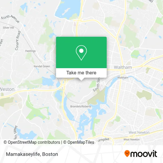
See Mamakaseylife, Waltham, on the map
Public Transit to Mamakaseylife in Waltham
Wondering how to get to Mamakaseylife in Waltham? Moovit helps you find the best way to get to Mamakaseylife with step-by-step directions from the nearest public transit station.
Moovit provides free maps and live directions to help you navigate through your city. View schedules, routes, timetables, and find out how long does it take to get to Mamakaseylife in real time.
Looking for the nearest stop or station to Mamakaseylife? Check out this list of stops closest to your destination: Main St @ Edgehill Rd; Auburndale; South St @ Shapiro Athletic Center; Kendal Green.
Bus: 553, 554, 70.Train: FITCHBURG, FRAMINGHAM/WORCESTER.
Want to see if there’s another route that gets you there at an earlier time? Moovit helps you find alternative routes or times. Get directions from and directions to Mamakaseylife easily from the Moovit App or Website.
We make riding to Mamakaseylife easy, which is why over 1.7 million users, including users in Waltham, trust Moovit as the best app for public transit. You don’t need to download an individual bus app or train app, Moovit is your all-in-one transit app that helps you find the best bus time or train time available.
For information on prices of bus, train and subway, costs and ride fares to Mamakaseylife, please check the Moovit app.
Use the app to navigate to popular places including to the airport, hospital, stadium, grocery store, mall, coffee shop, school, college, and university.
Location: Waltham, Boston
- Reiki for People and Pets,
- Department Of Classical Studies,
- Sam's Painting,
- German, Russian And Asian Languages And Literature,
- Frederick Flagg House,
- Stoneleigh Designs,
- Ampm Facility Svc,
- Charles River Woodworks,
- ACDelco,
- Edwin C. Johnson House,
- Sunoco Gas Station,
- Citgo,
- Office Of Student Financial Services,
- Reitman Hall,
- Dunkin',
- Hiatt Career Center,
- Hillel,
- Brandeis Office Of Study Abroad,
- Brandeis Community Living,
- Ati Physical Therapy
Places Near Mamakaseylife (Waltham)
- Wilbur Theatre, Boston,
- House Of Blues, Boston,
- Castle Island, Boston,
- Boston Medical Center, Boston,
- Prudential Center, Boston,
- Museum Of Science, Boston,
- Boston Common, Boston,
- Quincy Market, Boston,
- Td Garden, Boston,
- Isabella Stewart Gardner Museum, Boston,
- Cheers, Boston,
- Boston Convention & Exhibition Center, Boston,
- Wang Theater, Boston,
- Boston Children's Hospital, Boston,
- Massachusetts General Hospital, Boston,
- Mgm Music Hall, Boston,
- North End, Boston,
- Seaport District, Boston,
- Leader Bank Pavilion (Leader Bank Pavillion), Boston,
- Faneuil Hall, Boston
How to get to popular places in Boston with public transit
Get around Waltham by public transit!
Traveling around Waltham has never been so easy. See step by step directions as you travel to any attraction, street or major public transit station. View bus and train schedules, arrival times, service alerts and detailed routes on a map, so you know exactly how to get to anywhere in Waltham.
When traveling to any destination around Waltham use Moovit's Live Directions with Get Off Notifications to know exactly where and how far to walk, how long to wait for your line, and how many stops are left. Moovit will alert you when it's time to get off — no need to constantly re-check whether yours is the next stop.
Wondering how to use public transit in Waltham or how to pay for public transit in Waltham? Moovit public transit app can help you navigate your way with public transit easily, and at minimum cost. It includes public transit fees, ticket prices, and costs. Looking for a map of Waltham public transit lines? Moovit public transit app shows all public transit maps in Waltham with all Bus, Train, Subway and Ferry routes and stops on an interactive map.
Boston has 4 transit type(s), including: Bus, Train, Subway and Ferry, operated by several transit agencies, including MBTA, Southeastern Regional Transit Authority, MetroWest Regional Transit Authority, Rhode Island Public Transit Authority, WRTA, Lowell Regional Transit Authority, Merrimack Valley Transit, Montachusett Regional Transit Authority, Cape Cod Regional Transit Authority, Brockton Area Transit Authority, Martha's Vineyard Transit Authority, the WAVE - Nantucket Regional Transit Authority, GATRA, Cape Ann Transportation Authority and Massport