How to get to Mancini Fine Lighting & Lighting Design by bus?
Click on the bus route to see step by step directions with maps, line arrival times and updated time schedules.
Bus stops near Mancini Fine Lighting & Lighting Design in Boston
Bus lines to Mancini Fine Lighting & Lighting Design in Boston
What are the closest stations to Mancini Fine Lighting & Lighting Design?
The closest stations to Mancini Fine Lighting & Lighting Design are:
- Main Before Pierce is 175 yards away, 3 min walk.
- First & Main (Opposite Cliff) is 744 yards away, 9 min walk.
Which bus lines stop near Mancini Fine Lighting & Lighting Design?
These bus lines stop near Mancini Fine Lighting & Lighting Design: 14, 16.
What’s the nearest bus station to Mancini Fine Lighting & Lighting Design in Boston?
The nearest bus station to Mancini Fine Lighting & Lighting Design in Boston is Main Before Pierce. It’s a 3 min walk away.
What time is the first bus to Mancini Fine Lighting & Lighting Design in Boston?
The 14 is the first bus that goes to Mancini Fine Lighting & Lighting Design in Boston. It stops nearby at 5:20 AM.
What time is the last bus to Mancini Fine Lighting & Lighting Design in Boston?
The 16 is the last bus that goes to Mancini Fine Lighting & Lighting Design in Boston. It stops nearby at 10:36 PM.
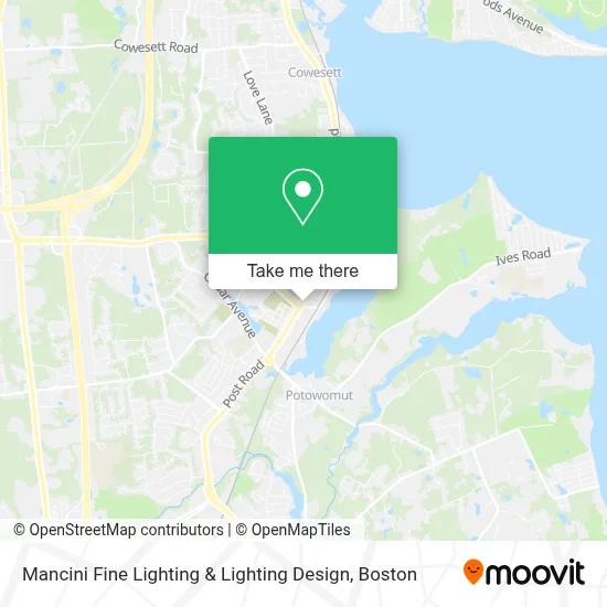
See Mancini Fine Lighting & Lighting Design, Boston, on the map
Public Transit to Mancini Fine Lighting & Lighting Design in Boston
Wondering how to get to Mancini Fine Lighting & Lighting Design in Boston? Moovit helps you find the best way to get to Mancini Fine Lighting & Lighting Design with step-by-step directions from the nearest public transit station.
Moovit provides free maps and live directions to help you navigate through your city. View schedules, routes, timetables, and find out how long does it take to get to Mancini Fine Lighting & Lighting Design in real time.
Looking for the nearest stop or station to Mancini Fine Lighting & Lighting Design? Check out this list of stops closest to your destination: Main Before Pierce; First & Main (Opposite Cliff).
Bus: 14, 16.
Want to see if there’s another route that gets you there at an earlier time? Moovit helps you find alternative routes or times. Get directions from and directions to Mancini Fine Lighting & Lighting Design easily from the Moovit App or Website.
We make riding to Mancini Fine Lighting & Lighting Design easy, which is why over 1.7 million users, including users in Boston, trust Moovit as the best app for public transit. You don’t need to download an individual bus app or train app, Moovit is your all-in-one transit app that helps you find the best bus time or train time available.
For information on prices of bus, costs and ride fares to Mancini Fine Lighting & Lighting Design, please check the Moovit app.
Use the app to navigate to popular places including to the airport, hospital, stadium, grocery store, mall, coffee shop, school, college, and university.
Mancini Fine Lighting & Lighting Design Address: 640 Main St street in Boston
- Collaborative Divorce Strategies,
- RE/MAX,
- New England in Touch Computerized Answering Service,
- Pat Corso Jr - Ri Real Estate Services,
- Greenwich Quickpick Locksmith,
- Alpha Associates,
- Elite Entertainment Ri,
- Taylor Ellis Automotive Repair,
- Alex Smith-the Horace Mann Companies,
- Seven Stars Bakery,
- Board of Directors,
- Rhode Southern Island Newspapers,
- Cortney Shae Beauty,
- Monaco Group,
- STARBUCKS,
- Town of East Greenwich,
- DUNKIN',
- Liga Privada Serie Unico Liga Privada,
- Sprigs Flowers,
- Norwegian Cruise Lines
Places Near Mancini Fine Lighting & Lighting Design (Boston)
- Castle Island, Boston,
- Boston Medical Center, Boston,
- Massachusetts General Hospital, Boston,
- Boston Convention & Exhibition Center, Boston,
- Wang Theater, Boston,
- Mgm Music Hall, Boston,
- Leader Bank Pavilion (Leader Bank Pavillion), Boston,
- Td Garden, Boston,
- Wilbur Theatre, Boston,
- Quincy Market, Boston,
- Museum Of Science, Boston,
- House Of Blues, Boston,
- Faneuil Hall, Boston,
- North End, Boston,
- Boston Children's Hospital, Boston,
- Cheers, Boston,
- Seaport District, Boston,
- Boston Common, Boston,
- Isabella Stewart Gardner Museum, Boston,
- Prudential Center, Boston
How to get to popular places in Boston with public transit
Get around Boston by public transit!
Traveling around Boston has never been so easy. See step by step directions as you travel to any attraction, street or major public transit station. View bus and train schedules, arrival times, service alerts and detailed routes on a map, so you know exactly how to get to anywhere in Boston.
When traveling to any destination around Boston use Moovit's Live Directions with Get Off Notifications to know exactly where and how far to walk, how long to wait for your line, and how many stops are left. Moovit will alert you when it's time to get off — no need to constantly re-check whether yours is the next stop.
Wondering how to use public transit in Boston or how to pay for public transit in Boston? Moovit public transit app can help you navigate your way with public transit easily, and at minimum cost. It includes public transit fees, ticket prices, and costs. Looking for a map of Boston public transit lines? Moovit public transit app shows all public transit maps in Boston with all Bus, Train, Subway and Ferry routes and stops on an interactive map.
Boston has 4 transit type(s), including: Bus, Train, Subway and Ferry, operated by several transit agencies, including MBTA, Southeastern Regional Transit Authority, MetroWest Regional Transit Authority, Rhode Island Public Transit Authority, WRTA, Lowell Regional Transit Authority, Merrimack Valley Transit, Montachusett Regional Transit Authority, Cape Cod Regional Transit Authority, Brockton Area Transit Authority, Martha's Vineyard Transit Authority, the WAVE - Nantucket Regional Transit Authority, GATRA, Cape Ann Transportation Authority and Massport