Directions to Manhan Rail Trail - Northampton (Boston) with public transportation
The following transit lines have routes that pass near Manhan Rail Trail - Northampton
 Bus: 31, B48, G73E, GREYHOUND US0255S, R44.
- Train: VERMONTER, VALLEY FLYER.
How to get to Manhan Rail Trail - Northampton by bus?
Click on the bus route to see step by step directions with maps, line arrival times and updated time schedules.
From Registry Of Motor Vehicles (Rmv) Branch Office, Worcester
132 minFrom Gardner, MA, Gardner
191 minFrom Palladium, Worcester
133 minFrom Dcu Center, Worcester
130 minFrom South High Community School, Worcester
225 minFrom Worcester, MA, Worcester
128 minFrom Polar Park, Worcester
130 minFrom Foxwoods, Worcester
158 min
How to get to Manhan Rail Trail - Northampton by train?
Click on the train route to see step by step directions with maps, line arrival times and updated time schedules.
Bus stops near Manhan Rail Trail - Northampton in Boston
- Fruit / Smith, 6 min walk,VIEW
- South / Hebert, 7 min walk,VIEW
- Prospect Street, 8 min walk,VIEW
- Northampton (Northampton Market), 9 min walk,VIEW
- Old South / Conz (Mcdonald House), 9 min walk,VIEW
- Smith College, 10 min walk,VIEW
- Peter Pan Bus Terminal Northampton, 10 min walk,VIEW
- Academy Of Music, 15 min walk,VIEW
Train station near Manhan Rail Trail - Northampton in Boston
- Northampton, 37 min walk,VIEW
Bus lines to Manhan Rail Trail - Northampton in Boston
- R44, Williamsburg Via Va Hospital,VIEW
- G47, Northampton Via Westfield,VIEW
- NE, Southampton Big Y,VIEW
- R41, Northampton Via Easthampton,VIEW
- GREYHOUND US0255S, New York Port Authority,VIEW
- R42, Northampton,VIEW
- B48, Holyoke Trans. Ctr. Via Rt. 5,VIEW
- G73E, Northampton Via Holyoke Mall,VIEW
- B43, Northampton,VIEW
- PETER PAN, Boston (South Station),VIEW
- PETER PAN, Springfield,VIEW
- PETER PAN, Northampton,VIEW
- PETER PAN, South Hadley,VIEW
- 904, Pittsfield Itc,VIEW
- 31, Jwo Transit Center,VIEW
What are the closest stations to Manhan Rail Trail - Northampton?
The closest stations to Manhan Rail Trail - Northampton are:
- Fruit / Smith is 493 yards away, 6 min walk.
- South / Hebert is 528 yards away, 7 min walk.
- Northampton (Northampton Market) is 662 yards away, 9 min walk.
- Prospect Street is 677 yards away, 8 min walk.
- Old South / Conz (Mcdonald House) is 735 yards away, 9 min walk.
- Smith College is 786 yards away, 10 min walk.
- Peter Pan Bus Terminal Northampton is 813 yards away, 10 min walk.
- Academy Of Music is 1196 yards away, 15 min walk.
- Northampton is 3103 yards away, 37 min walk.
Which bus lines stop near Manhan Rail Trail - Northampton?
These bus lines stop near Manhan Rail Trail - Northampton: 31, B48, G73E, GREYHOUND US0255S.
Which train line stops near Manhan Rail Trail - Northampton?
VERMONTER (St Albans)
What’s the nearest bus station to Manhan Rail Trail - Northampton in Boston?
The nearest bus station to Manhan Rail Trail - Northampton in Boston is Fruit / Smith. It’s a 6 min walk away.
What time is the first train to Manhan Rail Trail - Northampton in Boston?
The VALLEY FLYER is the first train that goes to Manhan Rail Trail - Northampton in Boston. It stops nearby at 6:30 AM.
What time is the last train to Manhan Rail Trail - Northampton in Boston?
The VALLEY FLYER is the last train that goes to Manhan Rail Trail - Northampton in Boston. It stops nearby at 10:07 PM.
What time is the first bus to Manhan Rail Trail - Northampton in Boston?
The 31 is the first bus that goes to Manhan Rail Trail - Northampton in Boston. It stops nearby at 5:45 AM.
What time is the last bus to Manhan Rail Trail - Northampton in Boston?
The B43 is the last bus that goes to Manhan Rail Trail - Northampton in Boston. It stops nearby at 11:58 PM.
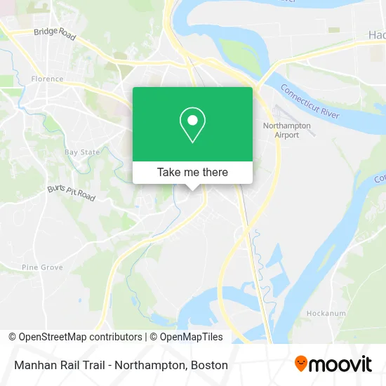
See Manhan Rail Trail - Northampton, Boston, on the map
Public Transit to Manhan Rail Trail - Northampton in Boston
Wondering how to get to Manhan Rail Trail - Northampton in Boston? Moovit helps you find the best way to get to Manhan Rail Trail - Northampton with step-by-step directions from the nearest public transit station.
Moovit provides free maps and live directions to help you navigate through your city. View schedules, routes, timetables, and find out how long does it take to get to Manhan Rail Trail - Northampton in real time.
Looking for the nearest stop or station to Manhan Rail Trail - Northampton? Check out this list of stops closest to your destination: Fruit / Smith; South / Hebert; Northampton (Northampton Market); Prospect Street; Old South / Conz (Mcdonald House); Smith College; Peter Pan Bus Terminal Northampton; Academy Of Music; Northampton.
Bus: 31, B48, G73E, GREYHOUND US0255S, R44, G47, NE, R41, R42.Train: VERMONTER, VALLEY FLYER.
Want to see if there’s another route that gets you there at an earlier time? Moovit helps you find alternative routes or times. Get directions from and directions to Manhan Rail Trail - Northampton easily from the Moovit App or Website.
We make riding to Manhan Rail Trail - Northampton easy, which is why over 1.7 million users, including users in Boston, trust Moovit as the best app for public transit. You don’t need to download an individual bus app or train app, Moovit is your all-in-one transit app that helps you find the best bus time or train time available.
For information on prices of bus and train, costs and ride fares to Manhan Rail Trail - Northampton, please check the Moovit app.
Use the app to navigate to popular places including to the airport, hospital, stadium, grocery store, mall, coffee shop, school, college, and university.
Manhan Rail Trail - Northampton Address: Manhan Rail Trail street in Boston
- Manhan Rail Trail,
- Northampton Skatepark,
- Veterans Field,
- Smith College Parking Garage,
- Skate Park,
- Garrison Hall,
- Forbes Library Parking Lot,
- Forbes Library Lot,
- Ford Hall,
- Many Graces Farm & Design,
- East Heaven,
- Felt Building Parking,
- Elbow Room,
- Blackstone Home Design,
- Schacht Wellness Center,
- Josten Performing Arts Library,
- ADT,
- Mendenhall Center,
- Valley Co-Operative Business Association,
- Sweeney Concert Hall
Places Near Manhan Rail Trail - Northampton (Boston)
- Boston Common, Boston,
- Boston Medical Center, Boston,
- North End, Boston,
- Td Garden, Boston,
- Boston Children's Hospital, Boston,
- Cheers, Boston,
- Seaport District, Boston,
- Museum Of Science, Boston,
- Isabella Stewart Gardner Museum, Boston,
- Faneuil Hall, Boston,
- Wang Theater, Boston,
- Prudential Center, Boston,
- Massachusetts General Hospital, Boston,
- Castle Island, Boston,
- Wilbur Theatre, Boston,
- Boston Convention & Exhibition Center, Boston,
- Mgm Music Hall, Boston,
- House Of Blues, Boston,
- Quincy Market, Boston,
- Leader Bank Pavilion (Leader Bank Pavillion), Boston
How to get to popular places in Boston with public transit
Get around Boston by public transit!
Traveling around Boston has never been so easy. See step by step directions as you travel to any attraction, street or major public transit station. View bus and train schedules, arrival times, service alerts and detailed routes on a map, so you know exactly how to get to anywhere in Boston.
When traveling to any destination around Boston use Moovit's Live Directions with Get Off Notifications to know exactly where and how far to walk, how long to wait for your line, and how many stops are left. Moovit will alert you when it's time to get off — no need to constantly re-check whether yours is the next stop.
Wondering how to use public transit in Boston or how to pay for public transit in Boston? Moovit public transit app can help you navigate your way with public transit easily, and at minimum cost. It includes public transit fees, ticket prices, and costs. Looking for a map of Boston public transit lines? Moovit public transit app shows all public transit maps in Boston with all Bus, Train, Subway and Ferry routes and stops on an interactive map.
Boston has 4 transit type(s), including: Bus, Train, Subway and Ferry, operated by several transit agencies, including MBTA, Southeastern Regional Transit Authority, MetroWest Regional Transit Authority, Rhode Island Public Transit Authority, WRTA, Lowell Regional Transit Authority, Merrimack Valley Transit, Montachusett Regional Transit Authority, Cape Cod Regional Transit Authority, Brockton Area Transit Authority, Martha's Vineyard Transit Authority, the WAVE - Nantucket Regional Transit Authority, GATRA, Cape Ann Transportation Authority and Massport