Train station near Mansfield Auto Body in Boston
- Mansfield, 43 min walk,VIEW
- 319 Mill St,
- 40 Carriage House Ln,
- Jameson Landscaping and Irrigation,
- Jameson Landscaping,
- Thayer Scale-Hyer Industries, Inc,
- A Is For Apple Child Care,
- Pardo Photography,
- Viking Girl Dolls,
- Maximum Excavation,
- Mansfield Firefighters Local 1820,
- Town Of Mansfield Fire Dept,
- Firearms Training School,
- Town Of Mansfield,
- My Access Locksmith,
- Your Home Exterior Solutions,
- Mansfield Public Works Department,
- Mansfield, MA Sepac,
- Jordan Jackson Elementary,
- Ball Park,
- Mansfield Guitar Studio
Places Near Mansfield Auto Body (Boston)
- Wang Theater, Boston,
- Massachusetts General Hospital, Boston,
- Cheers, Boston,
- Td Garden, Boston,
- Boston Medical Center, Boston,
- Quincy Market, Boston,
- North End, Boston,
- Seaport District, Boston,
- Faneuil Hall, Boston,
- Isabella Stewart Gardner Museum, Boston,
- Boston Convention & Exhibition Center, Boston,
- Museum Of Science, Boston,
- Boston Common, Boston,
- Leader Bank Pavilion (Leader Bank Pavillion), Boston,
- Wilbur Theatre, Boston,
- Mgm Music Hall, Boston,
- Prudential Center, Boston,
- Castle Island, Boston,
- House Of Blues, Boston,
- Boston Children's Hospital, Boston
How to get to popular places in Boston with public transit
What are the closest stations to Mansfield Auto Body?
The closest stations to Mansfield Auto Body are:
- Mansfield is 3699 yards away, 43 min walk.
What time is the first train to Mansfield Auto Body in Boston?
The PROVIDENCE/STOUGHTON is the first train that goes to Mansfield Auto Body in Boston. It stops nearby at 4:42 AM.
What time is the last train to Mansfield Auto Body in Boston?
The PROVIDENCE/STOUGHTON is the last train that goes to Mansfield Auto Body in Boston. It stops nearby at 12:39 AM.
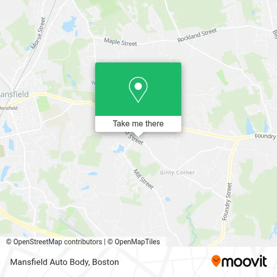
See Mansfield Auto Body, Boston, on the map
Public Transit to Mansfield Auto Body in Boston
Wondering how to get to Mansfield Auto Body in Boston? Moovit helps you find the best way to get to Mansfield Auto Body with step-by-step directions from the nearest public transit station.
Moovit provides free maps and live directions to help you navigate through your city. View schedules, routes, timetables, and find out how long does it take to get to Mansfield Auto Body in real time.
Looking for the nearest stop or station to Mansfield Auto Body? Check out this list of stops closest to your destination: Mansfield.
Want to see if there’s another route that gets you there at an earlier time? Moovit helps you find alternative routes or times. Get directions from and directions to Mansfield Auto Body easily from the Moovit App or Website.
We make riding to Mansfield Auto Body easy, which is why over 1.7 million users, including users in Boston, trust Moovit as the best app for public transit. You don’t need to download an individual bus app or train app, Moovit is your all-in-one transit app that helps you find the best bus time or train time available.
Use the app to navigate to popular places including to the airport, hospital, stadium, grocery store, mall, coffee shop, school, college, and university.
Mansfield Auto Body Address: 1004 East St street in Boston
Get around Boston by public transit!
Traveling around Boston has never been so easy. See step by step directions as you travel to any attraction, street or major public transit station. View bus and train schedules, arrival times, service alerts and detailed routes on a map, so you know exactly how to get to anywhere in Boston.
When traveling to any destination around Boston use Moovit's Live Directions with Get Off Notifications to know exactly where and how far to walk, how long to wait for your line, and how many stops are left. Moovit will alert you when it's time to get off — no need to constantly re-check whether yours is the next stop.
Wondering how to use public transit in Boston or how to pay for public transit in Boston? Moovit public transit app can help you navigate your way with public transit easily, and at minimum cost. It includes public transit fees, ticket prices, and costs. Looking for a map of Boston public transit lines? Moovit public transit app shows all public transit maps in Boston with all Bus, Train, Subway and Ferry routes and stops on an interactive map.
Boston has 4 transit type(s), including: Bus, Train, Subway and Ferry, operated by several transit agencies, including MBTA, Southeastern Regional Transit Authority, MetroWest Regional Transit Authority, Rhode Island Public Transit Authority, WRTA, Lowell Regional Transit Authority, Merrimack Valley Transit, Montachusett Regional Transit Authority, Cape Cod Regional Transit Authority, Brockton Area Transit Authority, Martha's Vineyard Transit Authority, the WAVE - Nantucket Regional Transit Authority, GATRA, Cape Ann Transportation Authority and Massport