How to get to Mark P. Small, Dmd by bus?
Click on the bus route to see step by step directions with maps, line arrival times and updated time schedules.
Bus stops near Mark P. Small, Dmd in Boston
Bus lines to Mark P. Small, Dmd in Boston
What are the closest stations to Mark P. Small, Dmd?
The closest stations to Mark P. Small, Dmd are:
- East Opposite Mayfield is 562 yards away, 7 min walk.
- Oaklawn After Bateman is 615 yards away, 8 min walk.
Which bus lines stop near Mark P. Small, Dmd?
These bus lines stop near Mark P. Small, Dmd: 21, 22, 30.
What’s the nearest bus station to Mark P. Small, Dmd in Boston?
The nearest bus station to Mark P. Small, Dmd in Boston is East Opposite Mayfield. It’s a 7 min walk away.
What time is the first bus to Mark P. Small, Dmd in Boston?
The 30 is the first bus that goes to Mark P. Small, Dmd in Boston. It stops nearby at 5:13 AM.
What time is the last bus to Mark P. Small, Dmd in Boston?
The 21 is the last bus that goes to Mark P. Small, Dmd in Boston. It stops nearby at 10:36 PM.
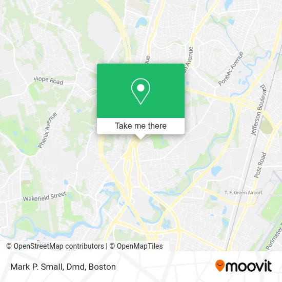
See Mark P. Small, Dmd, Boston, on the map
Public Transit to Mark P. Small, Dmd in Boston
Wondering how to get to Mark P. Small, Dmd in Boston? Moovit helps you find the best way to get to Mark P. Small, Dmd with step-by-step directions from the nearest public transit station.
Moovit provides free maps and live directions to help you navigate through your city. View schedules, routes, timetables, and find out how long does it take to get to Mark P. Small, Dmd in real time.
Looking for the nearest stop or station to Mark P. Small, Dmd? Check out this list of stops closest to your destination: East Opposite Mayfield; Oaklawn After Bateman.
Bus: 21, 22, 30.
Want to see if there’s another route that gets you there at an earlier time? Moovit helps you find alternative routes or times. Get directions from and directions to Mark P. Small, Dmd easily from the Moovit App or Website.
We make riding to Mark P. Small, Dmd easy, which is why over 1.7 million users, including users in Boston, trust Moovit as the best app for public transit. You don’t need to download an individual bus app or train app, Moovit is your all-in-one transit app that helps you find the best bus time or train time available.
For information on prices of bus, costs and ride fares to Mark P. Small, Dmd, please check the Moovit app.
Use the app to navigate to popular places including to the airport, hospital, stadium, grocery store, mall, coffee shop, school, college, and university.
Mark P. Small, Dmd Address: 1090 New London Ave street in Boston
- Playground,
- Heather Lyn Kendra CFP, CRPC,
- Harry Romain CFP,
- Sandy 168 Foot Spa,
- Fresco Hair Designs,
- 99 Restaurant,
- Stephen Mariorenzi,
- Meggan Lee Photogr,
- United Healthcare,
- Motorhead Magazine,
- AmpUp,
- Rhode Island Air Guard Recruiting & Retention,
- Ocean State Nutrition,
- Janice Gardner Od,
- Del's Lemonade,
- Twinkle & Smooch Beauty,
- One Studio Smooch,
- DUNKIN',
- Christy's Liquors,
- Oaklawn Ave
Places Near Mark P. Small, Dmd (Boston)
- Boston Convention & Exhibition Center, Boston,
- Wilbur Theatre, Boston,
- House Of Blues, Boston,
- North End, Boston,
- Isabella Stewart Gardner Museum, Boston,
- Mgm Music Hall, Boston,
- Boston Medical Center, Boston,
- Castle Island, Boston,
- Td Garden, Boston,
- Quincy Market, Boston,
- Leader Bank Pavilion (Leader Bank Pavillion), Boston,
- Museum Of Science, Boston,
- Prudential Center, Boston,
- Boston Children's Hospital, Boston,
- Faneuil Hall, Boston,
- Massachusetts General Hospital, Boston,
- Wang Theater, Boston,
- Seaport District, Boston,
- Boston Common, Boston,
- Cheers, Boston
How to get to popular places in Boston with public transit
Get around Boston by public transit!
Traveling around Boston has never been so easy. See step by step directions as you travel to any attraction, street or major public transit station. View bus and train schedules, arrival times, service alerts and detailed routes on a map, so you know exactly how to get to anywhere in Boston.
When traveling to any destination around Boston use Moovit's Live Directions with Get Off Notifications to know exactly where and how far to walk, how long to wait for your line, and how many stops are left. Moovit will alert you when it's time to get off — no need to constantly re-check whether yours is the next stop.
Wondering how to use public transit in Boston or how to pay for public transit in Boston? Moovit public transit app can help you navigate your way with public transit easily, and at minimum cost. It includes public transit fees, ticket prices, and costs. Looking for a map of Boston public transit lines? Moovit public transit app shows all public transit maps in Boston with all Bus, Train, Subway and Ferry routes and stops on an interactive map.
Boston has 4 transit type(s), including: Bus, Train, Subway and Ferry, operated by several transit agencies, including MBTA, Southeastern Regional Transit Authority, MetroWest Regional Transit Authority, Rhode Island Public Transit Authority, WRTA, Lowell Regional Transit Authority, Merrimack Valley Transit, Montachusett Regional Transit Authority, Cape Cod Regional Transit Authority, Brockton Area Transit Authority, Martha's Vineyard Transit Authority, the WAVE - Nantucket Regional Transit Authority, GATRA, Cape Ann Transportation Authority and Massport