How to get to Marquez Construction Inc. by bus?
Click on the bus route to see step by step directions with maps, line arrival times and updated time schedules.
From Framingham, MA, Framingham
34 minFrom Marlborough, MA, Marlborough
114 minFrom I-95 / Route 128 & Route 16 Interchange (Exit 21), Newton
80 minFrom Boston Marriott Newton, Newton
106 minFrom Wellesley, MA, Wellesley
78 minFrom Babson College, Wellesley
75 minFrom Staples Corporate HQ, Framingham
67 minFrom Bose Corp, Framingham
79 min
Bus stop near Marquez Construction Inc. in Framingham
- Water St & Nicholas Rd, 6 min walk,VIEW
What are the closest stations to Marquez Construction Inc.?
The closest stations to Marquez Construction Inc. are:
- Water St & Nicholas Rd is 517 yards away, 6 min walk.
Which bus lines stop near Marquez Construction Inc.?
These bus lines stop near Marquez Construction Inc.: 02, 03.
What’s the nearest bus station to Marquez Construction Inc. in Framingham?
The nearest bus station to Marquez Construction Inc. in Framingham is Water St & Nicholas Rd. It’s a 6 min walk away.
What time is the first bus to Marquez Construction Inc. in Framingham?
The 02 is the first bus that goes to Marquez Construction Inc. in Framingham. It stops nearby at 7:05 AM.
What time is the last bus to Marquez Construction Inc. in Framingham?
The 03 is the last bus that goes to Marquez Construction Inc. in Framingham. It stops nearby at 7:44 PM.
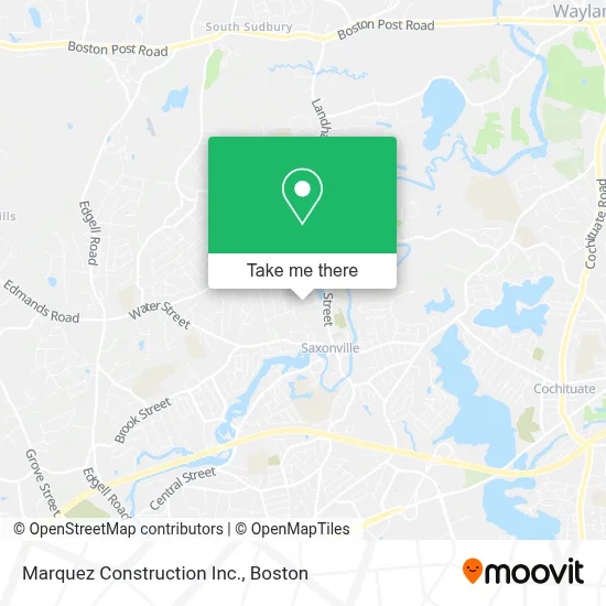
See Marquez Construction Inc., Framingham, on the map
Public Transit to Marquez Construction Inc. in Framingham
Wondering how to get to Marquez Construction Inc. in Framingham? Moovit helps you find the best way to get to Marquez Construction Inc. with step-by-step directions from the nearest public transit station.
Moovit provides free maps and live directions to help you navigate through your city. View schedules, routes, timetables, and find out how long does it take to get to Marquez Construction Inc. in real time.
Looking for the nearest stop or station to Marquez Construction Inc.? Check out this list of stops closest to your destination: Water St & Nicholas Rd.
Bus: 02, 03.
Want to see if there’s another route that gets you there at an earlier time? Moovit helps you find alternative routes or times. Get directions from and directions to Marquez Construction Inc. easily from the Moovit App or Website.
We make riding to Marquez Construction Inc. easy, which is why over 1.7 million users, including users in Framingham, trust Moovit as the best app for public transit. You don’t need to download an individual bus app or train app, Moovit is your all-in-one transit app that helps you find the best bus time or train time available.
For information on prices of bus, costs and ride fares to Marquez Construction Inc., please check the Moovit app.
Use the app to navigate to popular places including to the airport, hospital, stadium, grocery store, mall, coffee shop, school, college, and university.
Marquez Construction Inc. Address: 17 Pinewood Dr street in Framingham
- SD Plumbing & Heating,
- Desilets Lawrence E,
- Totally Beachin,
- T. P. Munson - Master Plumber,
- ADT,
- McAuliffe Library,
- Stapleton Elementary School,
- Centenial Park,
- Impact Metrowest,
- Baiting Brook,
- Iron Horse Ecuestrian,
- Framingham High School,
- Pink Ribbon Foundation,
- JM Construction and Painting,
- Water Street & Riner Street,
- Saxonville Substation,
- Robert E Pepi AIA Architect,
- Lawn Service Ma,
- Dorchester / Roxbury Breakfast Group,
- Walsh Middle School
Places Near Marquez Construction Inc. (Framingham)
- Wilbur Theatre, Boston,
- Cheers, Boston,
- Isabella Stewart Gardner Museum, Boston,
- Seaport District, Boston,
- Mgm Music Hall, Boston,
- Quincy Market, Boston,
- Wang Theater, Boston,
- Leader Bank Pavilion (Leader Bank Pavillion), Boston,
- Td Garden, Boston,
- Boston Medical Center, Boston,
- House Of Blues, Boston,
- Boston Children's Hospital, Boston,
- Faneuil Hall, Boston,
- Museum Of Science, Boston,
- Boston Common, Boston,
- Boston Convention & Exhibition Center, Boston,
- Castle Island, Boston,
- North End, Boston,
- Prudential Center, Boston,
- Massachusetts General Hospital, Boston
How to get to popular places in Boston with public transit
Get around Framingham by public transit!
Traveling around Framingham has never been so easy. See step by step directions as you travel to any attraction, street or major public transit station. View bus and train schedules, arrival times, service alerts and detailed routes on a map, so you know exactly how to get to anywhere in Framingham.
When traveling to any destination around Framingham use Moovit's Live Directions with Get Off Notifications to know exactly where and how far to walk, how long to wait for your line, and how many stops are left. Moovit will alert you when it's time to get off — no need to constantly re-check whether yours is the next stop.
Wondering how to use public transit in Framingham or how to pay for public transit in Framingham? Moovit public transit app can help you navigate your way with public transit easily, and at minimum cost. It includes public transit fees, ticket prices, and costs. Looking for a map of Framingham public transit lines? Moovit public transit app shows all public transit maps in Framingham with all Bus, Train, Subway and Ferry routes and stops on an interactive map.
Boston has 4 transit type(s), including: Bus, Train, Subway and Ferry, operated by several transit agencies, including MBTA, Southeastern Regional Transit Authority, MetroWest Regional Transit Authority, Rhode Island Public Transit Authority, WRTA, Lowell Regional Transit Authority, Merrimack Valley Transit, Montachusett Regional Transit Authority, Cape Cod Regional Transit Authority, Brockton Area Transit Authority, Martha's Vineyard Transit Authority, the WAVE - Nantucket Regional Transit Authority, GATRA, Cape Ann Transportation Authority and Massport