Directions to Mary E. Bassett (Boston) with public transportation
The following transit lines have routes that pass near Mary E. Bassett
How to get to Mary E. Bassett by bus?
Click on the bus route to see step by step directions with maps, line arrival times and updated time schedules.
Bus stop near Mary E. Bassett in Boston
- Concord, 3 min walk,VIEW
Train station near Mary E. Bassett in Boston
- West Concord, 5 min walk,VIEW
Bus lines to Mary E. Bassett in Boston
- FITCHBURG LINE SHUTTLE, Alewife (Local Shuttle),VIEW
What are the closest stations to Mary E. Bassett?
The closest stations to Mary E. Bassett are:
- Concord is 174 yards away, 3 min walk.
- West Concord is 408 yards away, 5 min walk.
Which bus lines stop near Mary E. Bassett?
These bus lines stop near Mary E. Bassett: ACTON/CONCORD COMMUTER, EMERSON HOSPITAL SHUTTLE.
Which train line stops near Mary E. Bassett?
FITCHBURG (#413 | Wachusett)
What’s the nearest train station to Mary E. Bassett in Boston?
The nearest train station to Mary E. Bassett in Boston is West Concord. It’s a 5 min walk away.
What’s the nearest bus station to Mary E. Bassett in Boston?
The nearest bus station to Mary E. Bassett in Boston is Concord. It’s a 3 min walk away.
What time is the first train to Mary E. Bassett in Boston?
The FITCHBURG is the first train that goes to Mary E. Bassett in Boston. It stops nearby at 5:11 AM.
What time is the last train to Mary E. Bassett in Boston?
The FITCHBURG is the last train that goes to Mary E. Bassett in Boston. It stops nearby at 12:33 AM.
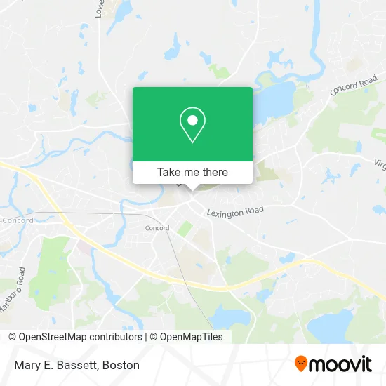
See Mary E. Bassett, Boston, on the map
Public Transit to Mary E. Bassett in Boston
Wondering how to get to Mary E. Bassett in Boston? Moovit helps you find the best way to get to Mary E. Bassett with step-by-step directions from the nearest public transit station.
Moovit provides free maps and live directions to help you navigate through your city. View schedules, routes, timetables, and find out how long does it take to get to Mary E. Bassett in real time.
Looking for the nearest stop or station to Mary E. Bassett? Check out this list of stops closest to your destination: Concord; West Concord.
Bus: ACTON/CONCORD COMMUTER, EMERSON HOSPITAL SHUTTLE, FITCHBURG LINE SHUTTLE.Train: FITCHBURG.
Want to see if there’s another route that gets you there at an earlier time? Moovit helps you find alternative routes or times. Get directions from and directions to Mary E. Bassett easily from the Moovit App or Website.
We make riding to Mary E. Bassett easy, which is why over 1.7 million users, including users in Boston, trust Moovit as the best app for public transit. You don’t need to download an individual bus app or train app, Moovit is your all-in-one transit app that helps you find the best bus time or train time available.
For information on prices of bus, train and subway, costs and ride fares to Mary E. Bassett, please check the Moovit app.
Use the app to navigate to popular places including to the airport, hospital, stadium, grocery store, mall, coffee shop, school, college, and university.
Mary E. Bassett Address: 30 Monument Sq street in Boston
- Concord, MA,
- Concord Art (Concord Center for the Visual Arts),
- Residence Inn,
- Carter's,
- Titan Admissions,
- RC Kaiser MD ,
- Milldam Square,
- Sotheby's International Realty,
- Sleepy Hollow Cemetery MA USA,
- Sleepy Hollow Cemetery,
- Barbara H.Willis Is A Fiber Artist in the Boston Area,
- Concord Academy Summer Camp,
- American School for the Deaf,
- ChargePoint,
- Power Advisory LLC,
- Ralph Waldo Emerson House,
- Walden Street School,
- GXP International - Common Sense Computer Validation,
- Exxon,
- Thoreau-Alcott House
Places Near Mary E. Bassett (Boston)
- Massachusetts General Hospital, Boston,
- Prudential Center, Boston,
- Isabella Stewart Gardner Museum, Boston,
- Museum Of Science, Boston,
- Leader Bank Pavilion (Leader Bank Pavillion), Boston,
- Cheers, Boston,
- Td Garden, Boston,
- Boston Medical Center, Boston,
- Faneuil Hall, Boston,
- House Of Blues, Boston,
- Castle Island, Boston,
- Mgm Music Hall, Boston,
- North End, Boston,
- Seaport District, Boston,
- Boston Children's Hospital, Boston,
- Wilbur Theatre, Boston,
- Boston Convention & Exhibition Center, Boston,
- Quincy Market, Boston,
- Boston Common, Boston,
- Wang Theater, Boston
How to get to popular places in Boston with public transit
Get around Boston by public transit!
Traveling around Boston has never been so easy. See step by step directions as you travel to any attraction, street or major public transit station. View bus and train schedules, arrival times, service alerts and detailed routes on a map, so you know exactly how to get to anywhere in Boston.
When traveling to any destination around Boston use Moovit's Live Directions with Get Off Notifications to know exactly where and how far to walk, how long to wait for your line, and how many stops are left. Moovit will alert you when it's time to get off — no need to constantly re-check whether yours is the next stop.
Wondering how to use public transit in Boston or how to pay for public transit in Boston? Moovit public transit app can help you navigate your way with public transit easily, and at minimum cost. It includes public transit fees, ticket prices, and costs. Looking for a map of Boston public transit lines? Moovit public transit app shows all public transit maps in Boston with all Bus, Train, Subway and Ferry routes and stops on an interactive map.
Boston has 4 transit type(s), including: Bus, Train, Subway and Ferry, operated by several transit agencies, including MBTA, Southeastern Regional Transit Authority, MetroWest Regional Transit Authority, Rhode Island Public Transit Authority, WRTA, Lowell Regional Transit Authority, Merrimack Valley Transit, Montachusett Regional Transit Authority, Cape Cod Regional Transit Authority, Brockton Area Transit Authority, Martha's Vineyard Transit Authority, the WAVE - Nantucket Regional Transit Authority, GATRA, Cape Ann Transportation Authority and Massport