Directions to Mason Everett with public transportation
The following transit lines have routes that pass near Mason Everett
 Bus: 104, 109, 110, 111, 112.
- Train: NEWBURYPORT/ROCKPORT.
- Subway: ORANGE LINE, BLUE LINE.
How to get to Mason Everett by bus?
Click on the bus route to see step by step directions with maps, line arrival times and updated time schedules.
How to get to Mason Everett by train?
Click on the train route to see step by step directions with maps, line arrival times and updated time schedules.
How to get to Mason Everett by subway?
Click on the subway route to see step by step directions with maps, line arrival times and updated time schedules.
Bus stops near Mason Everett
Train station near Mason Everett
- Chelsea, 45 min walk,VIEW
Bus lines to Mason Everett
What are the closest stations to Mason Everett?
The closest stations to Mason Everett are:
- Chelsea St @ Malden St is 205 yards away, 3 min walk.
- Chelsea St @ S Ferry St is 220 yards away, 3 min walk.
- Wood Island is 2610 yards away, 31 min walk.
- Wellington is 3209 yards away, 38 min walk.
- Chelsea is 3594 yards away, 45 min walk.
Which bus lines stop near Mason Everett?
These bus lines stop near Mason Everett: 104, 109, 110, 111.
Which train line stops near Mason Everett?
NEWBURYPORT/ROCKPORT (#120 | North Station)
Which subway line stops near Mason Everett?
ORANGE LINE (Oak Grove)
What’s the nearest bus station to Mason Everett?
The nearest bus stations to Mason Everett are Chelsea St @ Malden St and Chelsea St @ S Ferry St. The closest one is a 3 min walk away.
What time is the first subway to Mason Everett?
The BLUE LINE is the first subway that goes to Mason Everett. It stops nearby at 5:10 AM.
What time is the last subway to Mason Everett?
The BLUE LINE is the last subway that goes to Mason Everett. It stops nearby at 2:01 AM.
What time is the first train to Mason Everett?
The NEWBURYPORT/ROCKPORT is the first train that goes to Mason Everett. It stops nearby at 5:40 AM.
What time is the last train to Mason Everett?
The NEWBURYPORT/ROCKPORT is the last train that goes to Mason Everett. It stops nearby at 12:06 AM.
What time is the first bus to Mason Everett?
The 110 is the first bus that goes to Mason Everett. It stops nearby at 4:47 AM.
What time is the last bus to Mason Everett?
The 110 is the last bus that goes to Mason Everett. It stops nearby at 2:12 AM.
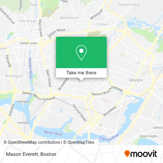
See Mason Everett on the map
Public Transportation to Mason Everett
Wondering how to get to Mason Everett? Moovit helps you find the best way to get to Mason Everett with step-by-step directions from the nearest public transit station.
Moovit provides free maps and live directions to help you navigate through your city. View schedules, routes, timetables, and find out how long does it take to get to Mason Everett in real time.
Looking for the nearest stop or station to Mason Everett? Check out this list of stops closest to your destination: Chelsea St @ Malden St; Chelsea St @ S Ferry St; Wood Island; Wellington; Chelsea.
Bus: 104, 109, 110, 111, 112.Train: NEWBURYPORT/ROCKPORT.Subway: ORANGE LINE, BLUE LINE.
Want to see if there’s another route that gets you there at an earlier time? Moovit helps you find alternative routes or times. Get directions from and directions to Mason Everett easily from the Moovit App or Website.
We make riding to Mason Everett easy, which is why over 1.7 million users, including users in Everett, trust Moovit as the best app for public transit. You don’t need to download an individual bus app or train app, Moovit is your all-in-one transit app that helps you find the best bus time or train time available.
For information on prices of bus, subway, train and ferry, costs and ride fares to Mason Everett, please check the Moovit app.
Use the app to navigate to popular places including to the airport, hospital, stadium, grocery store, mall, coffee shop, school, college, and university.
Mason Everett Address: 101 Mill Rd street in Everett
- Advanced Locks,
- San Santiago Botanica,
- Exclusive,
- Whidden Memorial Hospital,
- The Port Boston Distillery,
- CHA Everett Hospital-ER,
- Cha Everett Hospital Emergency Department,
- Ferry St & George St,
- Luma,
- Tejedy Yorgy,
- Favoloso Cafe & Pizzeria (Dimitri Place),
- Everett High School,
- Everett High,
- Anne P Umana Treatment Center,
- Natural Start Learning Center,
- Panaderia Vicentina,
- Everett Public Schools,
- Corner Store,
- Glendale Convenience Store,
- M & M Retail
Places Near Mason Everett
- Td Garden, Boston,
- Museum Of Science, Boston,
- Massachusetts General Hospital, Boston,
- Cheers, Boston,
- Quincy Market, Boston,
- Boston Children's Hospital, Boston,
- Boston Convention & Exhibition Center, Boston,
- Isabella Stewart Gardner Museum, Boston,
- Wilbur Theatre, Boston,
- Leader Bank Pavilion (Leader Bank Pavillion), Boston,
- North End, Boston,
- Mgm Music Hall, Boston,
- Boston Medical Center, Boston,
- Seaport District, Boston,
- Faneuil Hall, Boston,
- Castle Island, Boston,
- Wang Theater, Boston,
- House Of Blues, Boston,
- Prudential Center, Boston,
- Boston Common, Boston
How to get to popular places in Boston with public transit
Get around Everett by public transit!
Traveling around Everett has never been so easy. See step by step directions as you travel to any attraction, street or major public transit station. View bus and train schedules, arrival times, service alerts and detailed routes on a map, so you know exactly how to get to anywhere in Everett.
When traveling to any destination around Everett use Moovit's Live Directions with Get Off Notifications to know exactly where and how far to walk, how long to wait for your line, and how many stops are left. Moovit will alert you when it's time to get off — no need to constantly re-check whether yours is the next stop.
Wondering how to use public transit in Everett or how to pay for public transit in Everett? Moovit public transit app can help you navigate your way with public transit easily, and at minimum cost. It includes public transit fees, ticket prices, and costs. Looking for a map of Everett public transit lines? Moovit public transit app shows all public transit maps in Everett with all Bus, Train, Subway and Ferry routes and stops on an interactive map.
Boston has 4 transit type(s), including: Bus, Train, Subway and Ferry, operated by several transit agencies, including MBTA, Southeastern Regional Transit Authority, MetroWest Regional Transit Authority, Rhode Island Public Transit Authority, WRTA, Lowell Regional Transit Authority, Merrimack Valley Transit, Montachusett Regional Transit Authority, Cape Cod Regional Transit Authority, Brockton Area Transit Authority, Martha's Vineyard Transit Authority, the WAVE - Nantucket Regional Transit Authority, GATRA, Cape Ann Transportation Authority and Massport