Directions to Maxx Monsters (Boston) with public transportation
The following transit lines have routes that pass near Maxx Monsters
 Bus: 14, PROVIDENCE/STOUGHTON LINE SHUTTLE.
- Train: PROVIDENCE/STOUGHTON.
How to get to Maxx Monsters by bus?
Click on the bus route to see step by step directions with maps, line arrival times and updated time schedules.
How to get to Maxx Monsters by train?
Click on the train route to see step by step directions with maps, line arrival times and updated time schedules.
Bus stops near Maxx Monsters in Boston
Train station near Maxx Monsters in Boston
- Stoughton, 10 min walk,VIEW
Bus lines to Maxx Monsters in Boston
What are the closest stations to Maxx Monsters?
The closest stations to Maxx Monsters are:
- Washington St at Lincoln St (Friendlys) is 135 yards away, 2 min walk.
- Stoughton Station - Bus Shuttle is 747 yards away, 10 min walk.
- Stoughton is 801 yards away, 10 min walk.
Which bus lines stop near Maxx Monsters?
These bus lines stop near Maxx Monsters: 14, PROVIDENCE/STOUGHTON LINE SHUTTLE.
Which train line stops near Maxx Monsters?
PROVIDENCE/STOUGHTON (#917 | Stoughton)
What’s the nearest train station to Maxx Monsters in Boston?
The nearest train station to Maxx Monsters in Boston is Stoughton. It’s a 10 min walk away.
What’s the nearest bus station to Maxx Monsters in Boston?
The nearest bus station to Maxx Monsters in Boston is Washington St at Lincoln St (Friendlys). It’s a 2 min walk away.
What time is the first bus to Maxx Monsters in Boston?
The PROVIDENCE/STOUGHTON LINE SHUTTLE is the first bus that goes to Maxx Monsters in Boston. It stops nearby at 4:34 AM.
What time is the last bus to Maxx Monsters in Boston?
The PROVIDENCE/STOUGHTON LINE SHUTTLE is the last bus that goes to Maxx Monsters in Boston. It stops nearby at 12:49 AM.
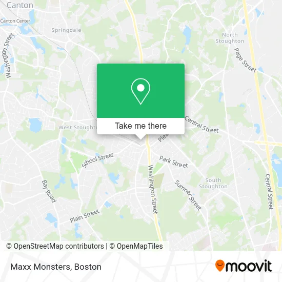
See Maxx Monsters, Boston, on the map
Public Transit to Maxx Monsters in Boston
Wondering how to get to Maxx Monsters in Boston? Moovit helps you find the best way to get to Maxx Monsters with step-by-step directions from the nearest public transit station.
Moovit provides free maps and live directions to help you navigate through your city. View schedules, routes, timetables, and find out how long does it take to get to Maxx Monsters in real time.
Looking for the nearest stop or station to Maxx Monsters? Check out this list of stops closest to your destination: Washington St at Lincoln St (Friendlys); Stoughton Station - Bus Shuttle; Stoughton.
Bus: 14, PROVIDENCE/STOUGHTON LINE SHUTTLE.Train: PROVIDENCE/STOUGHTON.
Want to see if there’s another route that gets you there at an earlier time? Moovit helps you find alternative routes or times. Get directions from and directions to Maxx Monsters easily from the Moovit App or Website.
We make riding to Maxx Monsters easy, which is why over 1.7 million users, including users in Boston, trust Moovit as the best app for public transit. You don’t need to download an individual bus app or train app, Moovit is your all-in-one transit app that helps you find the best bus time or train time available.
For information on prices of bus and train, costs and ride fares to Maxx Monsters, please check the Moovit app.
Use the app to navigate to popular places including to the airport, hospital, stadium, grocery store, mall, coffee shop, school, college, and university.
Maxx Monsters Address: 49 Rose St street in Boston
- Fenix Brazilian Jiu Jitsu South Shore,
- True Line Builders,
- Injector Lab,
- Catstar Marketing Group,
- Utopia Massage,
- Available Locksmith 24 7,
- Sires and Dames,
- JDS Realty Group,
- Henricus Healthcare Services,
- FedEx Drop Box,
- Revival Church for the Nations - Stoughton Ma,
- Stoughton Optometric Care,
- Plunge + Pools,
- Pride's Hardwood Floor,
- New England Cell,
- Olivio'Sgrille& Pizzer,
- Canton Emergency Locksmith,
- Cossin Media,
- Domino Trendz,
- Standing Multi-Services
Places Near Maxx Monsters (Boston)
- Prudential Center, Boston,
- Museum Of Science, Boston,
- Castle Island, Boston,
- Boston Children's Hospital, Boston,
- House Of Blues, Boston,
- Boston Common, Boston,
- Isabella Stewart Gardner Museum, Boston,
- Leader Bank Pavilion (Leader Bank Pavillion), Boston,
- Wilbur Theatre, Boston,
- Quincy Market, Boston,
- Mgm Music Hall, Boston,
- Wang Theater, Boston,
- Cheers, Boston,
- Seaport District, Boston,
- Td Garden, Boston,
- Boston Medical Center, Boston,
- Boston Convention & Exhibition Center, Boston,
- Massachusetts General Hospital, Boston,
- North End, Boston,
- Faneuil Hall, Boston
How to get to popular places in Boston with public transit
Get around Boston by public transit!
Traveling around Boston has never been so easy. See step by step directions as you travel to any attraction, street or major public transit station. View bus and train schedules, arrival times, service alerts and detailed routes on a map, so you know exactly how to get to anywhere in Boston.
When traveling to any destination around Boston use Moovit's Live Directions with Get Off Notifications to know exactly where and how far to walk, how long to wait for your line, and how many stops are left. Moovit will alert you when it's time to get off — no need to constantly re-check whether yours is the next stop.
Wondering how to use public transit in Boston or how to pay for public transit in Boston? Moovit public transit app can help you navigate your way with public transit easily, and at minimum cost. It includes public transit fees, ticket prices, and costs. Looking for a map of Boston public transit lines? Moovit public transit app shows all public transit maps in Boston with all Bus, Train, Subway and Ferry routes and stops on an interactive map.
Boston has 4 transit type(s), including: Bus, Train, Subway and Ferry, operated by several transit agencies, including MBTA, Southeastern Regional Transit Authority, MetroWest Regional Transit Authority, Rhode Island Public Transit Authority, WRTA, Lowell Regional Transit Authority, Merrimack Valley Transit, Montachusett Regional Transit Authority, Cape Cod Regional Transit Authority, Brockton Area Transit Authority, Martha's Vineyard Transit Authority, the WAVE - Nantucket Regional Transit Authority, GATRA, Cape Ann Transportation Authority and Massport