How to get to Mayflower Moving by bus?
Click on the bus route to see step by step directions with maps, line arrival times and updated time schedules.
From Lizzy Borden House, Fall River
60 minFrom Amazon Fulfillment Bos7, Fall River
115 minFrom B.M.C. Durfee High School, Fall River
79 minFrom Charlton Memorial Hospital, Fall River
98 minFrom Walmart Fall River Supercenter, Fall River
93 minFrom Barahona Express, Providence
107 minFrom Bristol Community College, Fall River
80 min
Bus stops near Mayflower Moving in Boston
Bus lines to Mayflower Moving in Boston
What are the closest stations to Mayflower Moving?
The closest stations to Mayflower Moving are:
- Bellevue Before Bowery is 302 yards away, 4 min walk.
- Touro Before High is 376 yards away, 5 min walk.
- Newport City Hall is 706 yards away, 9 min walk.
Which bus lines stop near Mayflower Moving?
These bus lines stop near Mayflower Moving: 24L, 60, 67.
What’s the nearest bus station to Mayflower Moving in Boston?
The nearest bus station to Mayflower Moving in Boston is Bellevue Before Bowery. It’s a 4 min walk away.
What time is the first bus to Mayflower Moving in Boston?
The 60 is the first bus that goes to Mayflower Moving in Boston. It stops nearby at 4:41 AM.
What time is the last bus to Mayflower Moving in Boston?
The 60 is the last bus that goes to Mayflower Moving in Boston. It stops nearby at 11:58 PM.
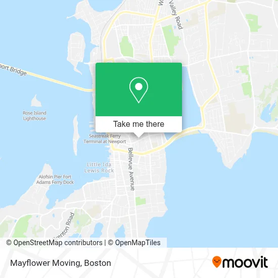
See Mayflower Moving, Boston, on the map
Public Transit to Mayflower Moving in Boston
Wondering how to get to Mayflower Moving in Boston? Moovit helps you find the best way to get to Mayflower Moving with step-by-step directions from the nearest public transit station.
Moovit provides free maps and live directions to help you navigate through your city. View schedules, routes, timetables, and find out how long does it take to get to Mayflower Moving in real time.
Looking for the nearest stop or station to Mayflower Moving? Check out this list of stops closest to your destination: Bellevue Before Bowery; Touro Before High; Newport City Hall.
Bus: 24L, 60, 67, 68, 63.
Want to see if there’s another route that gets you there at an earlier time? Moovit helps you find alternative routes or times. Get directions from and directions to Mayflower Moving easily from the Moovit App or Website.
We make riding to Mayflower Moving easy, which is why over 1.7 million users, including users in Boston, trust Moovit as the best app for public transit. You don’t need to download an individual bus app or train app, Moovit is your all-in-one transit app that helps you find the best bus time or train time available.
For information on prices of bus, costs and ride fares to Mayflower Moving, please check the Moovit app.
Use the app to navigate to popular places including to the airport, hospital, stadium, grocery store, mall, coffee shop, school, college, and university.
Mayflower Moving Address: 10 Fir St street in Boston
- Wet Paint,
- Spiritual Touch Therapy,
- Tropical Tanning,
- Delta Detail,
- T Cleaning,
- Cdmi,
- Tiny Dancer,
- Bellevue Financial,
- Oppenheimer & Co,
- Mae Physiotherapy,
- Musalla ter Building 1,
- Remedy Beauty,
- Historic District,
- Pasta Beach Newport,
- Dr. Catherine Acupuncture & Facial Rejuvenation,
- Golddiggers,
- Adrift Eco Boutique,
- Cashmere Beach,
- Newport Rhode Island Sanctuary,
- Clint Hyland
Places Near Mayflower Moving (Boston)
- Boston Common, Boston,
- Mgm Music Hall, Boston,
- Boston Convention & Exhibition Center, Boston,
- Wang Theater, Boston,
- Cheers, Boston,
- Massachusetts General Hospital, Boston,
- Castle Island, Boston,
- Td Garden, Boston,
- Prudential Center, Boston,
- Quincy Market, Boston,
- North End, Boston,
- Isabella Stewart Gardner Museum, Boston,
- Faneuil Hall, Boston,
- Boston Children's Hospital, Boston,
- Leader Bank Pavilion (Leader Bank Pavillion), Boston,
- Museum Of Science, Boston,
- Seaport District, Boston,
- House Of Blues, Boston,
- Boston Medical Center, Boston,
- Wilbur Theatre, Boston
How to get to popular places in Boston with public transit
Get around Boston by public transit!
Traveling around Boston has never been so easy. See step by step directions as you travel to any attraction, street or major public transit station. View bus and train schedules, arrival times, service alerts and detailed routes on a map, so you know exactly how to get to anywhere in Boston.
When traveling to any destination around Boston use Moovit's Live Directions with Get Off Notifications to know exactly where and how far to walk, how long to wait for your line, and how many stops are left. Moovit will alert you when it's time to get off — no need to constantly re-check whether yours is the next stop.
Wondering how to use public transit in Boston or how to pay for public transit in Boston? Moovit public transit app can help you navigate your way with public transit easily, and at minimum cost. It includes public transit fees, ticket prices, and costs. Looking for a map of Boston public transit lines? Moovit public transit app shows all public transit maps in Boston with all Bus, Train, Subway and Ferry routes and stops on an interactive map.
Boston has 4 transit type(s), including: Bus, Train, Subway and Ferry, operated by several transit agencies, including MBTA, Southeastern Regional Transit Authority, MetroWest Regional Transit Authority, Rhode Island Public Transit Authority, WRTA, Lowell Regional Transit Authority, Merrimack Valley Transit, Montachusett Regional Transit Authority, Cape Cod Regional Transit Authority, Brockton Area Transit Authority, Martha's Vineyard Transit Authority, the WAVE - Nantucket Regional Transit Authority, GATRA, Cape Ann Transportation Authority and Massport