
Directions to Medfield with public transportation
The following transit lines have routes that pass near Medfield
 Bus: 34E.
- Train: FRANKLIN LINE, FRANKLIN/FOXBORO.
Train station near Medfield
- Walpole, 88 min walk,
Bus stop near Medfield
- Main St @ Glenwood St, 92 min walk,
Bus lines to Medfield
- 34E, Walpole Center Via Washington St,
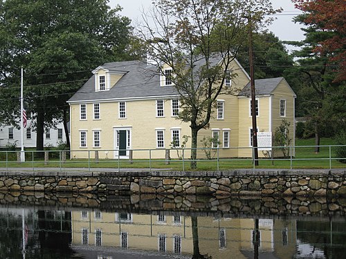
- Kingsbury Pond,
- Charles River Natural Valley Storage Area,
- Kingsbury Grist Mill,
- 149 South St,
- Improved Illumination,
- Conservation Restriction,
- 43 Ledgetree Rd,
- Charles River Natural Valley Storage Area,
- 2 High St,
- Medfield Rhododendrons Reservervation,
- Danielson Pond,
- Wheelock Soccer Fields,
- Charles River Natural Valley Storage Area,
- Charles River Natural Valley Storage Area,
- 8 Loeffler Ln,
- Medfield Water Supply Land,
- Medfield Water Supply Land,
- Noon Hill Reservation,
- Charles River Natural Valley Storage Area,
- Private Property
Places Near Medfield
- Paradise Rock Club, Boston,
- Boston Children's Hospital, Boston,
- Boston Common, Boston,
- Isabella Stewart Gardner Museum, Boston,
- Seaport District, Boston,
- Boston Medical Center, Boston,
- Wilbur Theatre, Boston,
- Sowa, Boston,
- Wang Theater, Boston,
- Brighton Music Hall, Boston,
- Mgm Music Hall, Boston,
- Uss Constitution, Boston,
- Boston Park Plaza, Boston,
- Leader Bank Pavilion (Leader Bank Pavillion), Boston,
- North End, Boston,
- The Esplanade (Charles River Esplanade), Boston,
- Prudential Center, Boston,
- Massachusetts General Hospital, Boston,
- Cheers, Boston,
- Beth Israel Hospital, Boston
How to get to popular places in Boston with public transit
What are the closest stations to Medfield?
The closest stations to Medfield are:
- Walpole station is 7540 yards away, 88 min walk.
- Main St @ Glenwood St stop is 7785 yards away, 92 min walk.
Which bus line stops near Medfield?
34E
Which train line stops near Medfield?
FRANKLIN LINE
See Medfield on the map
Get around Medfield by public transit!
Traveling around Medfield has never been so easy. See step by step directions as you travel to any attraction, street or major public transit station. View bus and train schedules, arrival times, service alerts and detailed routes on a map, so you know exactly how to get to anywhere in Medfield.
When traveling to any destination around Medfield use Moovit's Live Directions with Get Off Notifications to know exactly where and how far to walk, how long to wait for your line, and how many stops are left. Moovit will alert you when it's time to get off — no need to constantly re-check whether yours is the next stop.
Wondering how to use public transit in Medfield or how to pay for public transit in Medfield? Moovit public transit app can help you navigate your way with public transit easily, and at minimum cost. It includes public transit fees, ticket prices, and costs. Looking for a map of Medfield public transit lines? Moovit public transit app shows all public transit maps in Medfield with all Bus, Train, Subway and Ferry routes and stops on an interactive map.
Boston has 4 transit type(s), including: Bus, Train, Subway and Ferry, operated by several transit agencies, including MBTA, Southeastern Regional Transit Authority, MetroWest Regional Transit Authority, Rhode Island Public Transit Authority, WRTA, Lowell Regional Transit Authority, MEVA, Montachusett Regional Transit Authority, Cape Cod Regional Transit Authority, Brockton Area Transit Authority, Martha's Vineyard Transit Authority, Nantucket Regional Transit Authority, GATRA, Cape Ann Transportation Authority and Massport