How to get to Media Compass Photography by bus?
Click on the bus route to see step by step directions with maps, line arrival times and updated time schedules.
From Worcester, MA, Worcester
202 minFrom Palladium, Worcester
207 minFrom Gardner, MA, Gardner
174 minFrom Quinsigamond Community College, Worcester
219 minFrom Foxwoods, Worcester
230 minFrom South High Community School, Worcester
298 minFrom Registry Of Motor Vehicles (Rmv) Branch Office, Worcester
206 min
Bus stops near Media Compass Photography in Boston
Bus lines to Media Compass Photography in Boston
What are the closest stations to Media Compass Photography?
The closest stations to Media Compass Photography are:
- Meadow View Apts is 206 yards away, 3 min walk.
- Mill Lane (N) is 935 yards away, 12 min walk.
Which bus lines stop near Media Compass Photography?
These bus lines stop near Media Compass Photography: 31, 38NS, PETER PAN.
What’s the nearest bus station to Media Compass Photography in Boston?
The nearest bus station to Media Compass Photography in Boston is Meadow View Apts. It’s a 3 min walk away.
What time is the first bus to Media Compass Photography in Boston?
The 31 is the first bus that goes to Media Compass Photography in Boston. It stops nearby at 7:22 AM.
What time is the last bus to Media Compass Photography in Boston?
The 31 is the last bus that goes to Media Compass Photography in Boston. It stops nearby at 9:24 PM.
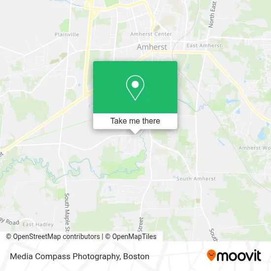
See Media Compass Photography, Boston, on the map
Public Transit to Media Compass Photography in Boston
Wondering how to get to Media Compass Photography in Boston? Moovit helps you find the best way to get to Media Compass Photography with step-by-step directions from the nearest public transit station.
Moovit provides free maps and live directions to help you navigate through your city. View schedules, routes, timetables, and find out how long does it take to get to Media Compass Photography in real time.
Looking for the nearest stop or station to Media Compass Photography? Check out this list of stops closest to your destination: Meadow View Apts; Mill Lane (N).
Bus: 31, 38NS, PETER PAN.
Want to see if there’s another route that gets you there at an earlier time? Moovit helps you find alternative routes or times. Get directions from and directions to Media Compass Photography easily from the Moovit App or Website.
We make riding to Media Compass Photography easy, which is why over 1.7 million users, including users in Boston, trust Moovit as the best app for public transit. You don’t need to download an individual bus app or train app, Moovit is your all-in-one transit app that helps you find the best bus time or train time available.
For information on prices of bus, costs and ride fares to Media Compass Photography, please check the Moovit app.
Use the app to navigate to popular places including to the airport, hospital, stadium, grocery store, mall, coffee shop, school, college, and university.
Media Compass Photography Address: 170 E Hadley Rd #96 street in Boston
- Media Compass,
- The Boulders Workout Room,
- Brick & Mortar,
- Sun Day Greetings,
- Fort River Conservation Area,
- Ronex,
- Southpoint Apts,
- Anne Krauss / Arts for the People,
- Self Point Apartments,
- All About Learning,
- Brick & Mortar,
- Mill Valley,
- Fort River Conservation Howard Garis Trail,
- Wojtoucs,
- Hole # 1 Green,
- Ned Gray Photography,
- Grandonico,
- Crocker Farm School,
- Amherst Department Of Public Works,
- Perkins
Places Near Media Compass Photography (Boston)
- Leader Bank Pavilion (Leader Bank Pavillion), Boston,
- Seaport District, Boston,
- North End, Boston,
- Mgm Music Hall, Boston,
- Isabella Stewart Gardner Museum, Boston,
- Boston Medical Center, Boston,
- Prudential Center, Boston,
- Museum Of Science, Boston,
- Castle Island, Boston,
- Boston Children's Hospital, Boston,
- Wilbur Theatre, Boston,
- Massachusetts General Hospital, Boston,
- Boston Convention & Exhibition Center, Boston,
- House Of Blues, Boston,
- Quincy Market, Boston,
- Cheers, Boston,
- Td Garden, Boston,
- Wang Theater, Boston,
- Boston Common, Boston,
- Faneuil Hall, Boston
How to get to popular places in Boston with public transit
Get around Boston by public transit!
Traveling around Boston has never been so easy. See step by step directions as you travel to any attraction, street or major public transit station. View bus and train schedules, arrival times, service alerts and detailed routes on a map, so you know exactly how to get to anywhere in Boston.
When traveling to any destination around Boston use Moovit's Live Directions with Get Off Notifications to know exactly where and how far to walk, how long to wait for your line, and how many stops are left. Moovit will alert you when it's time to get off — no need to constantly re-check whether yours is the next stop.
Wondering how to use public transit in Boston or how to pay for public transit in Boston? Moovit public transit app can help you navigate your way with public transit easily, and at minimum cost. It includes public transit fees, ticket prices, and costs. Looking for a map of Boston public transit lines? Moovit public transit app shows all public transit maps in Boston with all Bus, Train, Subway and Ferry routes and stops on an interactive map.
Boston has 4 transit type(s), including: Bus, Train, Subway and Ferry, operated by several transit agencies, including MBTA, Southeastern Regional Transit Authority, MetroWest Regional Transit Authority, Rhode Island Public Transit Authority, WRTA, Lowell Regional Transit Authority, Merrimack Valley Transit, Montachusett Regional Transit Authority, Cape Cod Regional Transit Authority, Brockton Area Transit Authority, Martha's Vineyard Transit Authority, the WAVE - Nantucket Regional Transit Authority, GATRA, Cape Ann Transportation Authority and Massport