How to get to Media Realty Group Inc by bus?
Click on the bus route to see step by step directions with maps, line arrival times and updated time schedules.
From Foxwoods, Worcester
58 minFrom Registry Of Motor Vehicles (Rmv) Branch Office, Worcester
35 minFrom Umass Memorial Medical Center - University Campus, Worcester
68 minFrom Dcu Center, Worcester
43 minFrom Polar Park, Worcester
43 minFrom St Vincent Hospital TH Medical, Worcester
47 minFrom Umass Memorial Medical Center, Worcester
73 minFrom Worcester, MA, Worcester
36 minFrom Quinsigamond Community College, Worcester
77 min
Bus stops near Media Realty Group Inc in Boston
Bus lines to Media Realty Group Inc in Boston
What are the closest stations to Media Realty Group Inc?
The closest stations to Media Realty Group Inc are:
- Southbridge St at Johnson St is 1031 yards away, 12 min walk.
- Southbridge St + Swanson St is 1071 yards away, 13 min walk.
Which bus lines stop near Media Realty Group Inc?
These bus lines stop near Media Realty Group Inc: 27, 42.
What’s the nearest bus station to Media Realty Group Inc in Boston?
The nearest bus station to Media Realty Group Inc in Boston is Southbridge St at Johnson St. It’s a 12 min walk away.
What time is the first bus to Media Realty Group Inc in Boston?
The 27 is the first bus that goes to Media Realty Group Inc in Boston. It stops nearby at 5:30 AM.
What time is the last bus to Media Realty Group Inc in Boston?
The 27 is the last bus that goes to Media Realty Group Inc in Boston. It stops nearby at 9:50 PM.
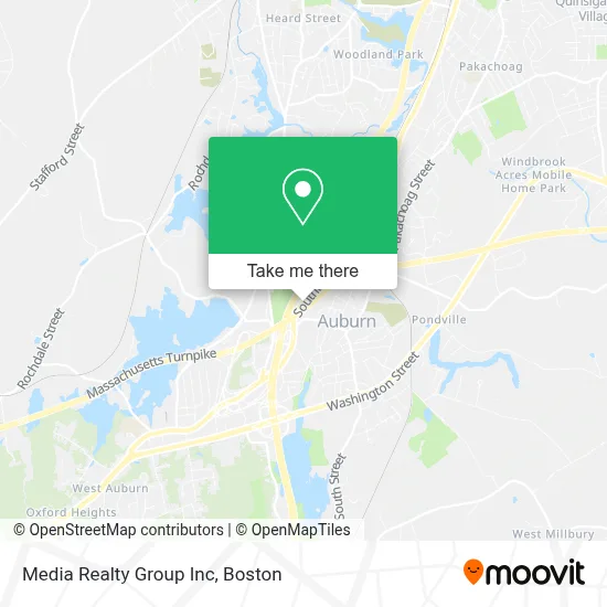
See Media Realty Group Inc, Boston, on the map
Public Transit to Media Realty Group Inc in Boston
Wondering how to get to Media Realty Group Inc in Boston? Moovit helps you find the best way to get to Media Realty Group Inc with step-by-step directions from the nearest public transit station.
Moovit provides free maps and live directions to help you navigate through your city. View schedules, routes, timetables, and find out how long does it take to get to Media Realty Group Inc in real time.
Looking for the nearest stop or station to Media Realty Group Inc? Check out this list of stops closest to your destination: Southbridge St at Johnson St; Southbridge St + Swanson St.
Bus: 27, 42, 29.
Want to see if there’s another route that gets you there at an earlier time? Moovit helps you find alternative routes or times. Get directions from and directions to Media Realty Group Inc easily from the Moovit App or Website.
We make riding to Media Realty Group Inc easy, which is why over 1.7 million users, including users in Boston, trust Moovit as the best app for public transit. You don’t need to download an individual bus app or train app, Moovit is your all-in-one transit app that helps you find the best bus time or train time available.
For information on prices of bus, costs and ride fares to Media Realty Group Inc, please check the Moovit app.
Use the app to navigate to popular places including to the airport, hospital, stadium, grocery store, mall, coffee shop, school, college, and university.
Media Realty Group Inc Address: 469 Southbridge St street in Boston
- Michael Martin - Exit Realty Partners,
- Harborone Mortgage Ma NH Me Ri VT Ct NJ NC SC Fl Pa,
- Hashtagembracelife,
- Marine Corps Recruiting,
- Shred Nations,
- Maple Leaf Tree Service of Ma,
- Chris Roth - Aflac,
- Central Mass Sunrooms,
- The Massachusetts Legislature,
- Auburn, Massachusetts,
- Emerson Realtors,
- Catherine Byrnes DVM,
- Cell Axs,
- OLYMPIA Sports,
- Lavelier Skin Care,
- Five Below,
- Sears Handyman Solutions,
- The North Face,
- Childrens Place,
- Pacific Sunwear Stores
Places Near Media Realty Group Inc (Boston)
- Massachusetts General Hospital, Boston,
- Boston Convention & Exhibition Center, Boston,
- House Of Blues, Boston,
- Boston Common, Boston,
- Quincy Market, Boston,
- Leader Bank Pavilion (Leader Bank Pavillion), Boston,
- Boston Medical Center, Boston,
- Seaport District, Boston,
- Faneuil Hall, Boston,
- Castle Island, Boston,
- Prudential Center, Boston,
- Cheers, Boston,
- Wang Theater, Boston,
- Wilbur Theatre, Boston,
- Td Garden, Boston,
- North End, Boston,
- Museum Of Science, Boston,
- Mgm Music Hall, Boston,
- Isabella Stewart Gardner Museum, Boston,
- Boston Children's Hospital, Boston
How to get to popular places in Boston with public transit
Get around Boston by public transit!
Traveling around Boston has never been so easy. See step by step directions as you travel to any attraction, street or major public transit station. View bus and train schedules, arrival times, service alerts and detailed routes on a map, so you know exactly how to get to anywhere in Boston.
When traveling to any destination around Boston use Moovit's Live Directions with Get Off Notifications to know exactly where and how far to walk, how long to wait for your line, and how many stops are left. Moovit will alert you when it's time to get off — no need to constantly re-check whether yours is the next stop.
Wondering how to use public transit in Boston or how to pay for public transit in Boston? Moovit public transit app can help you navigate your way with public transit easily, and at minimum cost. It includes public transit fees, ticket prices, and costs. Looking for a map of Boston public transit lines? Moovit public transit app shows all public transit maps in Boston with all Bus, Train, Subway and Ferry routes and stops on an interactive map.
Boston has 4 transit type(s), including: Bus, Train, Subway and Ferry, operated by several transit agencies, including MBTA, Southeastern Regional Transit Authority, MetroWest Regional Transit Authority, Rhode Island Public Transit Authority, WRTA, Lowell Regional Transit Authority, Merrimack Valley Transit, Montachusett Regional Transit Authority, Cape Cod Regional Transit Authority, Brockton Area Transit Authority, Martha's Vineyard Transit Authority, the WAVE - Nantucket Regional Transit Authority, GATRA, Cape Ann Transportation Authority and Massport