Directions to Meer Omar Md (Boston) with public transportation
The following transit lines have routes that pass near Meer Omar Md
 Bus: 32, 34, 35, 60, 78.
- Train: ACELA, NORTHEAST REGIONAL, PROVIDENCE LINE SHUTTLE, PROVIDENCE LINE SHUTTLE, PROVIDENCE LINE SHUTTLE.
How to get to Meer Omar Md by bus?
Click on the bus route to see step by step directions with maps, line arrival times and updated time schedules.
Bus stops near Meer Omar Md in Boston
Train stations near Meer Omar Md in Boston
- Providence, 8 min walk,VIEW
Bus lines to Meer Omar Md in Boston
What are the closest stations to Meer Omar Md?
The closest stations to Meer Omar Md are:
- Warren & South Broadway (Before Sharon) is 34 yards away, 1 min walk.
- Providence is 664 yards away, 8 min walk.
- Warren After Broadway is 1134 yards away, 14 min walk.
Which bus lines stop near Meer Omar Md?
These bus lines stop near Meer Omar Md: 32, 34, 35, 60, 78.
What’s the nearest train station to Meer Omar Md in Boston?
The nearest train station to Meer Omar Md in Boston is Providence. It’s a 8 min walk away.
What’s the nearest bus station to Meer Omar Md in Boston?
The nearest bus station to Meer Omar Md in Boston is Warren & South Broadway (Before Sharon). It’s a 1 min walk away.
What time is the first train to Meer Omar Md in Boston?
The PROVIDENCE/STOUGHTON is the first train that goes to Meer Omar Md in Boston. It stops nearby at 4:10 AM.
What time is the last train to Meer Omar Md in Boston?
The NORTHEAST REGIONAL is the last train that goes to Meer Omar Md in Boston. It stops nearby at 9:17 AM.
What time is the first bus to Meer Omar Md in Boston?
The 32 is the first bus that goes to Meer Omar Md in Boston. It stops nearby at 6:01 AM.
What time is the last bus to Meer Omar Md in Boston?
The 34 is the last bus that goes to Meer Omar Md in Boston. It stops nearby at 8:56 PM.
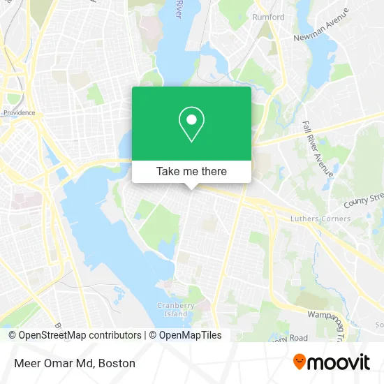
See Meer Omar Md, Boston, on the map
Public Transit to Meer Omar Md in Boston
Wondering how to get to Meer Omar Md in Boston? Moovit helps you find the best way to get to Meer Omar Md with step-by-step directions from the nearest public transit station.
Moovit provides free maps and live directions to help you navigate through your city. View schedules, routes, timetables, and find out how long does it take to get to Meer Omar Md in real time.
Looking for the nearest stop or station to Meer Omar Md? Check out this list of stops closest to your destination: Warren & South Broadway (Before Sharon); Providence; Warren After Broadway.
Bus: 32, 34, 35, 60, 78, 61X.Train: ACELA, NORTHEAST REGIONAL, PROVIDENCE LINE SHUTTLE, PROVIDENCE LINE SHUTTLE, PROVIDENCE LINE SHUTTLE, FOXBORO EVENT SERVICE, PROVIDENCE/STOUGHTON.
Want to see if there’s another route that gets you there at an earlier time? Moovit helps you find alternative routes or times. Get directions from and directions to Meer Omar Md easily from the Moovit App or Website.
We make riding to Meer Omar Md easy, which is why over 1.7 million users, including users in Boston, trust Moovit as the best app for public transit. You don’t need to download an individual bus app or train app, Moovit is your all-in-one transit app that helps you find the best bus time or train time available.
For information on prices of bus and train, costs and ride fares to Meer Omar Md, please check the Moovit app.
Use the app to navigate to popular places including to the airport, hospital, stadium, grocery store, mall, coffee shop, school, college, and university.
Meer Omar Md Address: 400 Warren Ave street in Boston
- DDL Advertising,
- Golden Tropics Tanning,
- Cell Hut,
- Ink Therapy,
- Joe's Overhead Door,
- Ray Rezania DMD,
- Maureen Gomes Lopez 63 Richfield Ave East Providence Rhode Island,
- A A 24 Hour Locksmith A,
- Outsider,
- The Father's House Church Rhode Island,
- East Providence, RI,
- Caprio's Seal Coating,
- Incredabowl Food Company,
- Pilatesri,
- Modav Ventures,
- 24 Seven Emergency Locksmith,
- Autocare Brake Services,
- RF Medeiros Construction,
- East Bay Ice Co.,
- Aarons Plumbing
Places Near Meer Omar Md (Boston)
- Castle Island, Boston,
- Boston Common, Boston,
- House Of Blues, Boston,
- Faneuil Hall, Boston,
- Wilbur Theatre, Boston,
- Quincy Market, Boston,
- Boston Convention & Exhibition Center, Boston,
- Wang Theater, Boston,
- Isabella Stewart Gardner Museum, Boston,
- Cheers, Boston,
- Td Garden, Boston,
- North End, Boston,
- Leader Bank Pavilion (Leader Bank Pavillion), Boston,
- Seaport District, Boston,
- Boston Medical Center, Boston,
- Museum Of Science, Boston,
- Prudential Center, Boston,
- Boston Children's Hospital, Boston,
- Mgm Music Hall, Boston,
- Massachusetts General Hospital, Boston
How to get to popular places in Boston with public transit
Get around Boston by public transit!
Traveling around Boston has never been so easy. See step by step directions as you travel to any attraction, street or major public transit station. View bus and train schedules, arrival times, service alerts and detailed routes on a map, so you know exactly how to get to anywhere in Boston.
When traveling to any destination around Boston use Moovit's Live Directions with Get Off Notifications to know exactly where and how far to walk, how long to wait for your line, and how many stops are left. Moovit will alert you when it's time to get off — no need to constantly re-check whether yours is the next stop.
Wondering how to use public transit in Boston or how to pay for public transit in Boston? Moovit public transit app can help you navigate your way with public transit easily, and at minimum cost. It includes public transit fees, ticket prices, and costs. Looking for a map of Boston public transit lines? Moovit public transit app shows all public transit maps in Boston with all Bus, Train, Subway and Ferry routes and stops on an interactive map.
Boston has 4 transit type(s), including: Bus, Train, Subway and Ferry, operated by several transit agencies, including MBTA, Southeastern Regional Transit Authority, MetroWest Regional Transit Authority, Rhode Island Public Transit Authority, WRTA, Lowell Regional Transit Authority, Merrimack Valley Transit, Montachusett Regional Transit Authority, Cape Cod Regional Transit Authority, Brockton Area Transit Authority, Martha's Vineyard Transit Authority, the WAVE - Nantucket Regional Transit Authority, GATRA, Cape Ann Transportation Authority and Massport