How to get to Merry Dental by bus?
Click on the bus route to see step by step directions with maps, line arrival times and updated time schedules.
From Middlesex Superior Court, Woburn
74 minFrom Lahey Hospital & Medical Center, Burlington
48 minFrom Burlington, Ma, Burlington
39 minFrom Wilmington, MA, Wilmington
90 minFrom Middlesex Community College, Lowell
30 minFrom 200 Trade Center, Woburn
74 minFrom Burlington Mall, Burlington
28 minFrom Target, Lowell
24 minFrom Tsongas Center, Lowell
32 min
How to get to Merry Dental by train?
Click on the train route to see step by step directions with maps, line arrival times and updated time schedules.
Bus stops near Merry Dental in Boston
Train station near Merry Dental in Boston
- North Billerica, 57 min walk,VIEW
What are the closest stations to Merry Dental?
The closest stations to Merry Dental are:
- Billerica Center is 541 yards away, 7 min walk.
- Concord Rd & Blanchard Ave is 569 yards away, 7 min walk.
- North Billerica is 4833 yards away, 57 min walk.
Which bus lines stop near Merry Dental?
These bus lines stop near Merry Dental: 13, 14.
Which train line stops near Merry Dental?
LOWELL (#323 | Lowell)
What’s the nearest bus station to Merry Dental in Boston?
The nearest bus stations to Merry Dental in Boston are Billerica Center and Concord Rd & Blanchard Ave. The closest one is a 7 min walk away.
What time is the first train to Merry Dental in Boston?
The LOWELL is the first train that goes to Merry Dental in Boston. It stops nearby at 5:08 AM.
What time is the last train to Merry Dental in Boston?
The LOWELL is the last train that goes to Merry Dental in Boston. It stops nearby at 12:20 AM.
What time is the first bus to Merry Dental in Boston?
The 14 is the first bus that goes to Merry Dental in Boston. It stops nearby at 6:24 AM.
What time is the last bus to Merry Dental in Boston?
The 14 is the last bus that goes to Merry Dental in Boston. It stops nearby at 7:39 PM.
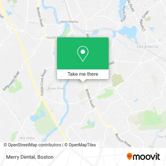
See Merry Dental, Boston, on the map
Public Transit to Merry Dental in Boston
Wondering how to get to Merry Dental in Boston? Moovit helps you find the best way to get to Merry Dental with step-by-step directions from the nearest public transit station.
Moovit provides free maps and live directions to help you navigate through your city. View schedules, routes, timetables, and find out how long does it take to get to Merry Dental in real time.
Looking for the nearest stop or station to Merry Dental? Check out this list of stops closest to your destination: Billerica Center; Concord Rd & Blanchard Ave; North Billerica.
Bus: 13, 14.Train: LOWELL.
Want to see if there’s another route that gets you there at an earlier time? Moovit helps you find alternative routes or times. Get directions from and directions to Merry Dental easily from the Moovit App or Website.
We make riding to Merry Dental easy, which is why over 1.7 million users, including users in Boston, trust Moovit as the best app for public transit. You don’t need to download an individual bus app or train app, Moovit is your all-in-one transit app that helps you find the best bus time or train time available.
For information on prices of bus and train, costs and ride fares to Merry Dental, please check the Moovit app.
Use the app to navigate to popular places including to the airport, hospital, stadium, grocery store, mall, coffee shop, school, college, and university.
Merry Dental Address: 337 Boston Rd street in Boston
- Bodell's Quality Auto Upholstery,
- Laurie & Co.,
- Billerica Sportswear,
- Creature Connections Behavior Alliance,
- High Power Athletics,
- Northeast Rehabilitation Outpatient Clinic,
- ATM,
- Rethink Your Ink Laser Tattoo Removal,
- Forever Fitness,
- Jenkins Family Christmas Trees,
- Mazmanian Flooring Inc.,
- Billerica,
- High Octane Harley-Davidson,
- Mercado,
- Personal Injury Chiropractors,
- A & C Plumbing and Bathroom Remodeling,
- Prx by Wiqo,
- C&C Landscaping Design And Hardscape,
- MJK Carpentry,
- Arangetram Brochures & Invitations
Places Near Merry Dental (Boston)
- House Of Blues, Boston,
- Leader Bank Pavilion (Leader Bank Pavillion), Boston,
- Prudential Center, Boston,
- North End, Boston,
- Mgm Music Hall, Boston,
- Wilbur Theatre, Boston,
- Boston Medical Center, Boston,
- Museum Of Science, Boston,
- Seaport District, Boston,
- Boston Children's Hospital, Boston,
- Wang Theater, Boston,
- Boston Convention & Exhibition Center, Boston,
- Massachusetts General Hospital, Boston,
- Castle Island, Boston,
- Cheers, Boston,
- Quincy Market, Boston,
- Boston Common, Boston,
- Td Garden, Boston,
- Isabella Stewart Gardner Museum, Boston,
- Faneuil Hall, Boston
How to get to popular places in Boston with public transit
Get around Boston by public transit!
Traveling around Boston has never been so easy. See step by step directions as you travel to any attraction, street or major public transit station. View bus and train schedules, arrival times, service alerts and detailed routes on a map, so you know exactly how to get to anywhere in Boston.
When traveling to any destination around Boston use Moovit's Live Directions with Get Off Notifications to know exactly where and how far to walk, how long to wait for your line, and how many stops are left. Moovit will alert you when it's time to get off — no need to constantly re-check whether yours is the next stop.
Wondering how to use public transit in Boston or how to pay for public transit in Boston? Moovit public transit app can help you navigate your way with public transit easily, and at minimum cost. It includes public transit fees, ticket prices, and costs. Looking for a map of Boston public transit lines? Moovit public transit app shows all public transit maps in Boston with all Bus, Train, Subway and Ferry routes and stops on an interactive map.
Boston has 4 transit type(s), including: Bus, Train, Subway and Ferry, operated by several transit agencies, including MBTA, Southeastern Regional Transit Authority, MetroWest Regional Transit Authority, Rhode Island Public Transit Authority, WRTA, Lowell Regional Transit Authority, Merrimack Valley Transit, Montachusett Regional Transit Authority, Cape Cod Regional Transit Authority, Brockton Area Transit Authority, Martha's Vineyard Transit Authority, the WAVE - Nantucket Regional Transit Authority, GATRA, Cape Ann Transportation Authority and Massport