How to get to Met Limo Of Boston by bus?
Click on the bus route to see step by step directions with maps, line arrival times and updated time schedules.
From Thermo Fisher Scientific, Waltham
65 minFrom Harvard Upper Busway, Cambridge
56 minFrom Boston Landing Station, Boston
90 minFrom Waltham, MA, Waltham
131 minFrom Embassy Suites by Hilton Boston Waltham, Waltham
66 minFrom Harvard University, Cambridge
57 minFrom Highland Ave Somerville MA, Somerville
65 minFrom Apple Cinemas, Cambridge
38 minFrom Harvard Stadium, Boston
68 minFrom Massachusetts General Hospital, Waltham
65 min
Bus stop near Met Limo Of Boston in Lexington
- Massachusetts Ave Opp Pleasant St, 6 min walk,VIEW
What are the closest stations to Met Limo Of Boston?
The closest stations to Met Limo Of Boston are:
- Massachusetts Ave Opp Pleasant St is 479 yards away, 6 min walk.
Which bus lines stop near Met Limo Of Boston?
These bus lines stop near Met Limo Of Boston: 61, 62, 76.
What’s the nearest bus station to Met Limo Of Boston in Lexington?
The nearest bus station to Met Limo Of Boston in Lexington is Massachusetts Ave Opp Pleasant St. It’s a 6 min walk away.
What time is the first bus to Met Limo Of Boston in Lexington?
The 62 is the first bus that goes to Met Limo Of Boston in Lexington. It stops nearby at 5:20 AM.
What time is the last bus to Met Limo Of Boston in Lexington?
The 62 is the last bus that goes to Met Limo Of Boston in Lexington. It stops nearby at 10:42 PM.
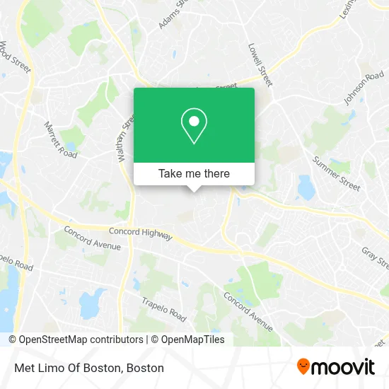
See Met Limo Of Boston, Lexington, on the map
Public Transit to Met Limo Of Boston in Lexington
Wondering how to get to Met Limo Of Boston in Lexington? Moovit helps you find the best way to get to Met Limo Of Boston with step-by-step directions from the nearest public transit station.
Moovit provides free maps and live directions to help you navigate through your city. View schedules, routes, timetables, and find out how long does it take to get to Met Limo Of Boston in real time.
Looking for the nearest stop or station to Met Limo Of Boston? Check out this list of stops closest to your destination: Massachusetts Ave Opp Pleasant St.
Bus: 61, 62, 76.
Want to see if there’s another route that gets you there at an earlier time? Moovit helps you find alternative routes or times. Get directions from and directions to Met Limo Of Boston easily from the Moovit App or Website.
We make riding to Met Limo Of Boston easy, which is why over 1.7 million users, including users in Lexington, trust Moovit as the best app for public transit. You don’t need to download an individual bus app or train app, Moovit is your all-in-one transit app that helps you find the best bus time or train time available.
For information on prices of bus, subway and train, costs and ride fares to Met Limo Of Boston, please check the Moovit app.
Use the app to navigate to popular places including to the airport, hospital, stadium, grocery store, mall, coffee shop, school, college, and university.
Met Limo Of Boston Address: 4 Lantern Ln street in Lexington
- Lodestar Mediation,
- Compass Card Systems,
- Bartcsh Attorney Alexandra,
- Star Locksmith of Lexington,
- McGinley Kalsow & Associates Inc,
- Reid Design Group,
- Collymore Shani Rea Law Office,
- Art Studio 760,
- Ma Properties Online,
- smart Body Integrative Massage Therapy,
- Oasis Spa,
- Colonial Times Magazin,
- Peet's Coffee,
- Dentists,
- Garden Ave & Wellington Lane Ave,
- Stone Building,
- Wilson Farm,
- Mls Property Information Network, Inc.,
- Fleur di'Scent,
- Frankel and Associates, Incorporated
Places Near Met Limo Of Boston (Lexington)
- Isabella Stewart Gardner Museum, Boston,
- North End, Boston,
- Quincy Market, Boston,
- Td Garden, Boston,
- Prudential Center, Boston,
- Mgm Music Hall, Boston,
- Boston Convention & Exhibition Center, Boston,
- Boston Common, Boston,
- Massachusetts General Hospital, Boston,
- Faneuil Hall, Boston,
- Boston Children's Hospital, Boston,
- Museum Of Science, Boston,
- Wang Theater, Boston,
- Boston Medical Center, Boston,
- Castle Island, Boston,
- House Of Blues, Boston,
- Wilbur Theatre, Boston,
- Cheers, Boston,
- Leader Bank Pavilion (Leader Bank Pavillion), Boston,
- Seaport District, Boston
How to get to popular places in Boston with public transit
Get around Lexington by public transit!
Traveling around Lexington has never been so easy. See step by step directions as you travel to any attraction, street or major public transit station. View bus and train schedules, arrival times, service alerts and detailed routes on a map, so you know exactly how to get to anywhere in Lexington.
When traveling to any destination around Lexington use Moovit's Live Directions with Get Off Notifications to know exactly where and how far to walk, how long to wait for your line, and how many stops are left. Moovit will alert you when it's time to get off — no need to constantly re-check whether yours is the next stop.
Wondering how to use public transit in Lexington or how to pay for public transit in Lexington? Moovit public transit app can help you navigate your way with public transit easily, and at minimum cost. It includes public transit fees, ticket prices, and costs. Looking for a map of Lexington public transit lines? Moovit public transit app shows all public transit maps in Lexington with all Bus, Train, Subway and Ferry routes and stops on an interactive map.
Boston has 4 transit type(s), including: Bus, Train, Subway and Ferry, operated by several transit agencies, including MBTA, Southeastern Regional Transit Authority, MetroWest Regional Transit Authority, Rhode Island Public Transit Authority, WRTA, Lowell Regional Transit Authority, Merrimack Valley Transit, Montachusett Regional Transit Authority, Cape Cod Regional Transit Authority, Brockton Area Transit Authority, Martha's Vineyard Transit Authority, the WAVE - Nantucket Regional Transit Authority, GATRA, Cape Ann Transportation Authority and Massport