Directions to Metrowest Speech And Language Center (Boston) with public transportation
The following transit lines have routes that pass near Metrowest Speech And Language Center
 Bus: 01, 09, FLIXBUS 2611, 03, 10.
- Train: FRAMINGHAM/WORCESTER, LAKE SHORE LIMITED.
How to get to Metrowest Speech And Language Center by bus?
Click on the bus route to see step by step directions with maps, line arrival times and updated time schedules.
From Staples Corporate HQ, Framingham
51 minFrom Bose Corp, Framingham
63 minFrom Wellesley, MA, Wellesley
53 minFrom I-95 / Route 128 & Route 16 Interchange (Exit 21), Newton
56 minFrom Boston Marriott Newton, Newton
82 minFrom Newton-Wellesley Hospital, Newton
59 minFrom Lasell College, Newton
73 minFrom Babson College, Wellesley
51 minFrom Newton Wellesley Hospital Green Building, Newton
59 minFrom Sheraton-Needham Hotel (Sheraton Boston Needham Hotel), Needham
167 min
How to get to Metrowest Speech And Language Center by train?
Click on the train route to see step by step directions with maps, line arrival times and updated time schedules.
Bus stops near Metrowest Speech And Language Center in Boston
Train stations near Metrowest Speech And Language Center in Boston
Bus lines to Metrowest Speech And Language Center in Boston
What are the closest stations to Metrowest Speech And Language Center?
The closest stations to Metrowest Speech And Language Center are:
- Sherwood Plaza is 1249 yards away, 15 min walk.
- Natick Mall - Wegmans is 1437 yards away, 17 min walk.
- West Natick is 2145 yards away, 25 min walk.
- Framingham Amtrak is 3997 yards away, 47 min walk.
Which bus lines stop near Metrowest Speech And Language Center?
These bus lines stop near Metrowest Speech And Language Center: 01, 09, FLIXBUS 2611.
Which train line stops near Metrowest Speech And Language Center?
FRAMINGHAM/WORCESTER (#521 | Worcester)
What’s the nearest train station to Metrowest Speech And Language Center in Boston?
The nearest train station to Metrowest Speech And Language Center in Boston is West Natick. It’s a 25 min walk away.
What’s the nearest bus station to Metrowest Speech And Language Center in Boston?
The nearest bus station to Metrowest Speech And Language Center in Boston is Sherwood Plaza. It’s a 15 min walk away.
What time is the first train to Metrowest Speech And Language Center in Boston?
The FRAMINGHAM/WORCESTER is the first train that goes to Metrowest Speech And Language Center in Boston. It stops nearby at 4:54 AM.
What time is the last train to Metrowest Speech And Language Center in Boston?
The LAKE SHORE LIMITED is the last train that goes to Metrowest Speech And Language Center in Boston. It stops nearby at 8:00 PM.
What time is the first bus to Metrowest Speech And Language Center in Boston?
The 01 is the first bus that goes to Metrowest Speech And Language Center in Boston. It stops nearby at 5:42 AM.
What time is the last bus to Metrowest Speech And Language Center in Boston?
The 04N is the last bus that goes to Metrowest Speech And Language Center in Boston. It stops nearby at 10:22 PM.
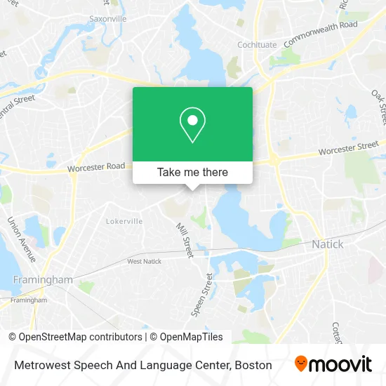
See Metrowest Speech And Language Center, Boston, on the map
Public Transit to Metrowest Speech And Language Center in Boston
Wondering how to get to Metrowest Speech And Language Center in Boston? Moovit helps you find the best way to get to Metrowest Speech And Language Center with step-by-step directions from the nearest public transit station.
Moovit provides free maps and live directions to help you navigate through your city. View schedules, routes, timetables, and find out how long does it take to get to Metrowest Speech And Language Center in real time.
Looking for the nearest stop or station to Metrowest Speech And Language Center? Check out this list of stops closest to your destination: Sherwood Plaza; Natick Mall - Wegmans; West Natick; Framingham Amtrak.
Bus: 01, 09, FLIXBUS 2611, 03, 10, 11, 02, MWES, 04N.Train: FRAMINGHAM/WORCESTER, LAKE SHORE LIMITED.
Want to see if there’s another route that gets you there at an earlier time? Moovit helps you find alternative routes or times. Get directions from and directions to Metrowest Speech And Language Center easily from the Moovit App or Website.
We make riding to Metrowest Speech And Language Center easy, which is why over 1.7 million users, including users in Boston, trust Moovit as the best app for public transit. You don’t need to download an individual bus app or train app, Moovit is your all-in-one transit app that helps you find the best bus time or train time available.
For information on prices of bus, train and subway, costs and ride fares to Metrowest Speech And Language Center, please check the Moovit app.
Use the app to navigate to popular places including to the airport, hospital, stadium, grocery store, mall, coffee shop, school, college, and university.
Metrowest Speech And Language Center Address: 19 Sherwood Rd street in Boston
- Boston Entertainment Company,
- Route 9 and Speen St,
- Ndash,
- Town of Natick Elementary School,
- Brown,
- Metroworks,
- Ulta Beauty,
- Modex Therapeutics,
- BJ's Wholesale Club,
- Speen Street Natick Ma,
- DXL,
- Eyecare Associates of Ma,
- SKECHERS,
- A Place To Turn Food Pantry,
- Level99,
- P.F. Chang's,
- Mitchell Cross Country Moving,
- The Paper Store,
- Barnes & Noble Booksellers,
- Mom's Organic Market
Places Near Metrowest Speech And Language Center (Boston)
- Td Garden, Boston,
- Prudential Center, Boston,
- Boston Medical Center, Boston,
- Quincy Market, Boston,
- Boston Convention & Exhibition Center, Boston,
- Castle Island, Boston,
- Boston Children's Hospital, Boston,
- Faneuil Hall, Boston,
- Seaport District, Boston,
- Leader Bank Pavilion (Leader Bank Pavillion), Boston,
- North End, Boston,
- Mgm Music Hall, Boston,
- Cheers, Boston,
- Wang Theater, Boston,
- Isabella Stewart Gardner Museum, Boston,
- Boston Common, Boston,
- Wilbur Theatre, Boston,
- Massachusetts General Hospital, Boston,
- House Of Blues, Boston,
- Museum Of Science, Boston
How to get to popular places in Boston with public transit
Get around Boston by public transit!
Traveling around Boston has never been so easy. See step by step directions as you travel to any attraction, street or major public transit station. View bus and train schedules, arrival times, service alerts and detailed routes on a map, so you know exactly how to get to anywhere in Boston.
When traveling to any destination around Boston use Moovit's Live Directions with Get Off Notifications to know exactly where and how far to walk, how long to wait for your line, and how many stops are left. Moovit will alert you when it's time to get off — no need to constantly re-check whether yours is the next stop.
Wondering how to use public transit in Boston or how to pay for public transit in Boston? Moovit public transit app can help you navigate your way with public transit easily, and at minimum cost. It includes public transit fees, ticket prices, and costs. Looking for a map of Boston public transit lines? Moovit public transit app shows all public transit maps in Boston with all Bus, Train, Subway and Ferry routes and stops on an interactive map.
Boston has 4 transit type(s), including: Bus, Train, Subway and Ferry, operated by several transit agencies, including MBTA, Southeastern Regional Transit Authority, MetroWest Regional Transit Authority, Rhode Island Public Transit Authority, WRTA, Lowell Regional Transit Authority, Merrimack Valley Transit, Montachusett Regional Transit Authority, Cape Cod Regional Transit Authority, Brockton Area Transit Authority, Martha's Vineyard Transit Authority, the WAVE - Nantucket Regional Transit Authority, GATRA, Cape Ann Transportation Authority and Massport