How to get to Michael Auen by bus?
Click on the bus route to see step by step directions with maps, line arrival times and updated time schedules.
From Milford, MA, Milford
119 minFrom Forge Park/495 MBTA Station - Commuter Rail, Franklin Town
128 minFrom Bose Corp, Framingham
88 minFrom Framingham, MA, Framingham
31 minFrom Staples Corporate HQ, Framingham
74 minFrom Marlborough, MA, Marlborough
63 minFrom Route 9 East / West Framingham, Framingham
56 min
Bus stop near Michael Auen in Boston
- Pricechopper Hopkinton, 11 min walk,VIEW
Bus lines to Michael Auen in Boston
- 05, Blandin Hub,VIEW
What are the closest stations to Michael Auen?
The closest stations to Michael Auen are:
- Pricechopper Hopkinton is 893 yards away, 11 min walk.
Which bus lines stop near Michael Auen?
These bus lines stop near Michael Auen: 05, 495C.
What’s the nearest bus station to Michael Auen in Boston?
The nearest bus station to Michael Auen in Boston is Pricechopper Hopkinton. It’s a 11 min walk away.
What time is the first bus to Michael Auen in Boston?
The 05 is the first bus that goes to Michael Auen in Boston. It stops nearby at 6:01 AM.
What time is the last bus to Michael Auen in Boston?
The 05 is the last bus that goes to Michael Auen in Boston. It stops nearby at 7:19 PM.
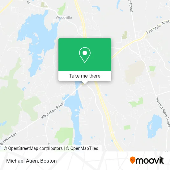
See Michael Auen, Boston, on the map
Public Transit to Michael Auen in Boston
Wondering how to get to Michael Auen in Boston? Moovit helps you find the best way to get to Michael Auen with step-by-step directions from the nearest public transit station.
Moovit provides free maps and live directions to help you navigate through your city. View schedules, routes, timetables, and find out how long does it take to get to Michael Auen in real time.
Looking for the nearest stop or station to Michael Auen? Check out this list of stops closest to your destination: Pricechopper Hopkinton.
Bus: 05, 495C.
Want to see if there’s another route that gets you there at an earlier time? Moovit helps you find alternative routes or times. Get directions from and directions to Michael Auen easily from the Moovit App or Website.
We make riding to Michael Auen easy, which is why over 1.7 million users, including users in Boston, trust Moovit as the best app for public transit. You don’t need to download an individual bus app or train app, Moovit is your all-in-one transit app that helps you find the best bus time or train time available.
For information on prices of bus, costs and ride fares to Michael Auen, please check the Moovit app.
Use the app to navigate to popular places including to the airport, hospital, stadium, grocery store, mall, coffee shop, school, college, and university.
Michael Auen Address: 22 South St street in Boston
- Dell Emc,
- Emc,
- Cheap Locksmith Near Me 01757,
- WPC Pest Control,
- Benco Dental Supply Company,
- Bodynbeyond,
- Century 21 Real Estate LLC,
- DUNKIN',
- FedEx,
- Maidpro Metrowest,
- Project Just Because,
- LB Publishing Group,
- Dell EMC,
- New England Halt Labs, Inc.,
- Banker's Equipment,
- Hy9,
- Field 11,
- 9 Breakneck Hill Rd,
- Field 12,
- Field 13
Places Near Michael Auen (Boston)
- Massachusetts General Hospital, Boston,
- Leader Bank Pavilion (Leader Bank Pavillion), Boston,
- Td Garden, Boston,
- Seaport District, Boston,
- Boston Medical Center, Boston,
- House Of Blues, Boston,
- Museum Of Science, Boston,
- Mgm Music Hall, Boston,
- Wilbur Theatre, Boston,
- Boston Children's Hospital, Boston,
- Cheers, Boston,
- Prudential Center, Boston,
- Faneuil Hall, Boston,
- Isabella Stewart Gardner Museum, Boston,
- North End, Boston,
- Boston Convention & Exhibition Center, Boston,
- Castle Island, Boston,
- Boston Common, Boston,
- Wang Theater, Boston,
- Quincy Market, Boston
How to get to popular places in Boston with public transit
Get around Boston by public transit!
Traveling around Boston has never been so easy. See step by step directions as you travel to any attraction, street or major public transit station. View bus and train schedules, arrival times, service alerts and detailed routes on a map, so you know exactly how to get to anywhere in Boston.
When traveling to any destination around Boston use Moovit's Live Directions with Get Off Notifications to know exactly where and how far to walk, how long to wait for your line, and how many stops are left. Moovit will alert you when it's time to get off — no need to constantly re-check whether yours is the next stop.
Wondering how to use public transit in Boston or how to pay for public transit in Boston? Moovit public transit app can help you navigate your way with public transit easily, and at minimum cost. It includes public transit fees, ticket prices, and costs. Looking for a map of Boston public transit lines? Moovit public transit app shows all public transit maps in Boston with all Bus, Train, Subway and Ferry routes and stops on an interactive map.
Boston has 4 transit type(s), including: Bus, Train, Subway and Ferry, operated by several transit agencies, including MBTA, Southeastern Regional Transit Authority, MetroWest Regional Transit Authority, Rhode Island Public Transit Authority, WRTA, Lowell Regional Transit Authority, Merrimack Valley Transit, Montachusett Regional Transit Authority, Cape Cod Regional Transit Authority, Brockton Area Transit Authority, Martha's Vineyard Transit Authority, the WAVE - Nantucket Regional Transit Authority, GATRA, Cape Ann Transportation Authority and Massport