Directions to Microblading_Dl (Worcester) with public transportation
The following transit lines have routes that pass near Microblading_Dl
 Bus: 2, 3, 31, 33, CLINTON-WORCESTER COMMUTER SHUTTLE.
- Train: FRAMINGHAM/WORCESTER.
How to get to Microblading_Dl by bus?
Click on the bus route to see step by step directions with maps, line arrival times and updated time schedules.
Bus stops near Microblading_Dl in Worcester
Bus lines to Microblading_Dl in Worcester
What are the closest stations to Microblading_Dl?
The closest stations to Microblading_Dl are:
- Pleasant St + Irving St is 130 yards away, 2 min walk.
- Linden St + Cedar St is 210 yards away, 3 min walk.
- Pleasant St + Chestnut St is 212 yards away, 3 min walk.
- City Hall (Main St) is 295 yards away, 4 min walk.
Which bus lines stop near Microblading_Dl?
These bus lines stop near Microblading_Dl: 2, 3, 31, 33, CLINTON-WORCESTER COMMUTER SHUTTLE, GREYHOUND US0230.
Which train line stops near Microblading_Dl?
FRAMINGHAM/WORCESTER (#525 | Worcester)
What’s the nearest bus station to Microblading_Dl in Worcester?
The nearest bus station to Microblading_Dl in Worcester is Pleasant St + Irving St. It’s a 2 min walk away.
What time is the first bus to Microblading_Dl in Worcester?
The 3 is the first bus that goes to Microblading_Dl in Worcester. It stops nearby at 5:12 AM.
What time is the last bus to Microblading_Dl in Worcester?
The 19 is the last bus that goes to Microblading_Dl in Worcester. It stops nearby at 10:50 PM.
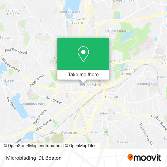
See Microblading_Dl, Worcester, on the map
Public Transit to Microblading_Dl in Worcester
Wondering how to get to Microblading_Dl in Worcester? Moovit helps you find the best way to get to Microblading_Dl with step-by-step directions from the nearest public transit station.
Moovit provides free maps and live directions to help you navigate through your city. View schedules, routes, timetables, and find out how long does it take to get to Microblading_Dl in real time.
Looking for the nearest stop or station to Microblading_Dl? Check out this list of stops closest to your destination: Pleasant St + Irving St; Linden St + Cedar St; Pleasant St + Chestnut St; City Hall (Main St).
Bus: 2, 3, 31, 33, CLINTON-WORCESTER COMMUTER SHUTTLE, GREYHOUND US0230, 6, 7, 19, 27.Train: FRAMINGHAM/WORCESTER.
Want to see if there’s another route that gets you there at an earlier time? Moovit helps you find alternative routes or times. Get directions from and directions to Microblading_Dl easily from the Moovit App or Website.
We make riding to Microblading_Dl easy, which is why over 1.7 million users, including users in Worcester, trust Moovit as the best app for public transit. You don’t need to download an individual bus app or train app, Moovit is your all-in-one transit app that helps you find the best bus time or train time available.
For information on prices of bus and train, costs and ride fares to Microblading_Dl, please check the Moovit app.
Use the app to navigate to popular places including to the airport, hospital, stadium, grocery store, mall, coffee shop, school, college, and university.
Microblading_Dl Address: 101 Pleasant St street in Worcester
- Centro Cristiano Fey Y Gracia Inc.,
- Lilac Braiding and Beauty Hair Salon,
- Boy with A Dolphin Statue,
- Dubai Jewelry,
- Rob Roy Academy,
- Law Office of Channing Migner,
- Arthur T Bors Cpa,
- USPS,
- Worcester Locksmith Laser Cut Keys,
- John F Keenan Attorney,
- Marchand Financial,
- THD Soaps and Nutrition Counseling,
- Ifm Efector,
- Health Foundation-Central Ma,
- ORH,
- 01610,
- ATM,
- Masshire Central Career Center,
- Teamlogic It,
- Cline & Migner
Places Near Microblading_Dl (Worcester)
- Boston Children's Hospital, Boston,
- Castle Island, Boston,
- House Of Blues, Boston,
- North End, Boston,
- Seaport District, Boston,
- Faneuil Hall, Boston,
- Leader Bank Pavilion (Leader Bank Pavillion), Boston,
- Wang Theater, Boston,
- Boston Convention & Exhibition Center, Boston,
- Boston Common, Boston,
- Massachusetts General Hospital, Boston,
- Boston Medical Center, Boston,
- Prudential Center, Boston,
- Cheers, Boston,
- Td Garden, Boston,
- Mgm Music Hall, Boston,
- Quincy Market, Boston,
- Wilbur Theatre, Boston,
- Museum Of Science, Boston,
- Isabella Stewart Gardner Museum, Boston
How to get to popular places in Boston with public transit
Get around Worcester by public transit!
Traveling around Worcester has never been so easy. See step by step directions as you travel to any attraction, street or major public transit station. View bus and train schedules, arrival times, service alerts and detailed routes on a map, so you know exactly how to get to anywhere in Worcester.
When traveling to any destination around Worcester use Moovit's Live Directions with Get Off Notifications to know exactly where and how far to walk, how long to wait for your line, and how many stops are left. Moovit will alert you when it's time to get off — no need to constantly re-check whether yours is the next stop.
Wondering how to use public transit in Worcester or how to pay for public transit in Worcester? Moovit public transit app can help you navigate your way with public transit easily, and at minimum cost. It includes public transit fees, ticket prices, and costs. Looking for a map of Worcester public transit lines? Moovit public transit app shows all public transit maps in Worcester with all Bus, Train, Subway and Ferry routes and stops on an interactive map.
Boston has 4 transit type(s), including: Bus, Train, Subway and Ferry, operated by several transit agencies, including MBTA, Southeastern Regional Transit Authority, MetroWest Regional Transit Authority, Rhode Island Public Transit Authority, WRTA, Lowell Regional Transit Authority, Merrimack Valley Transit, Montachusett Regional Transit Authority, Cape Cod Regional Transit Authority, Brockton Area Transit Authority, Martha's Vineyard Transit Authority, the WAVE - Nantucket Regional Transit Authority, GATRA, Cape Ann Transportation Authority and Massport