How to get to Mid City Church by bus?
Click on the bus route to see step by step directions with maps, line arrival times and updated time schedules.
Bus stops near Mid City Church in Taunton
Bus lines to Mid City Church in Taunton
What are the closest stations to Mid City Church?
The closest stations to Mid City Church are:
- Summer St. is 307 yards away, 4 min walk.
- Morton Hospital is 573 yards away, 7 min walk.
- Route 44 is 871 yards away, 11 min walk.
- Oak St. is 1052 yards away, 13 min walk.
Which bus lines stop near Mid City Church?
These bus lines stop near Mid City Church: 18, 7, 8.
What’s the nearest bus station to Mid City Church in Taunton?
The nearest bus station to Mid City Church in Taunton is Summer St.. It’s a 4 min walk away.
What time is the first bus to Mid City Church in Taunton?
The 18 is the first bus that goes to Mid City Church in Taunton. It stops nearby at 4:50 AM.
What time is the last bus to Mid City Church in Taunton?
The 8 is the last bus that goes to Mid City Church in Taunton. It stops nearby at 8:50 PM.
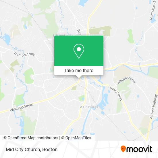
See Mid City Church, Taunton, on the map
Public Transit to Mid City Church in Taunton
Wondering how to get to Mid City Church in Taunton? Moovit helps you find the best way to get to Mid City Church with step-by-step directions from the nearest public transit station.
Moovit provides free maps and live directions to help you navigate through your city. View schedules, routes, timetables, and find out how long does it take to get to Mid City Church in real time.
Looking for the nearest stop or station to Mid City Church? Check out this list of stops closest to your destination: Summer St.; Morton Hospital; Route 44; Oak St..
Bus: 18, 7, 8, 2, 6, 4.
Want to see if there’s another route that gets you there at an earlier time? Moovit helps you find alternative routes or times. Get directions from and directions to Mid City Church easily from the Moovit App or Website.
We make riding to Mid City Church easy, which is why over 1.7 million users, including users in Taunton, trust Moovit as the best app for public transit. You don’t need to download an individual bus app or train app, Moovit is your all-in-one transit app that helps you find the best bus time or train time available.
For information on prices of bus and train, costs and ride fares to Mid City Church, please check the Moovit app.
Use the app to navigate to popular places including to the airport, hospital, stadium, grocery store, mall, coffee shop, school, college, and university.
Mid City Church Address: 111 High St street in Taunton
- Walgreens,
- Taunton Portuguese Sda Church,
- Quality Fuel & Mart,
- The Enchanted Forest Taunton,
- Primo & Associates,
- High Point Treatment Center,
- Kyo Kitchen,
- House of Worship,
- Raw Bodies under Construction Inc,
- Yan Spa,
- Manny's Hardware Co,
- Dr Paul J Botelho MD,
- Mill River Pediatrics,
- Internal Med Preventive C,
- Igreja Universal,
- Sentry Federal Savings Bank,
- Lomba Driving School,
- Manet Community Health Center,
- Massachusetts Dept of Children & FMLS,
- Taunton RMV Service Center
Places Near Mid City Church (Taunton)
- Museum Of Science, Boston,
- Massachusetts General Hospital, Boston,
- Seaport District, Boston,
- Leader Bank Pavilion (Leader Bank Pavillion), Boston,
- Faneuil Hall, Boston,
- Td Garden, Boston,
- Quincy Market, Boston,
- North End, Boston,
- Boston Common, Boston,
- Cheers, Boston,
- Isabella Stewart Gardner Museum, Boston,
- Castle Island, Boston,
- Boston Children's Hospital, Boston,
- Wilbur Theatre, Boston,
- House Of Blues, Boston,
- Mgm Music Hall, Boston,
- Prudential Center, Boston,
- Boston Convention & Exhibition Center, Boston,
- Wang Theater, Boston,
- Boston Medical Center, Boston
How to get to popular places in Boston with public transit
Get around Taunton by public transit!
Traveling around Taunton has never been so easy. See step by step directions as you travel to any attraction, street or major public transit station. View bus and train schedules, arrival times, service alerts and detailed routes on a map, so you know exactly how to get to anywhere in Taunton.
When traveling to any destination around Taunton use Moovit's Live Directions with Get Off Notifications to know exactly where and how far to walk, how long to wait for your line, and how many stops are left. Moovit will alert you when it's time to get off — no need to constantly re-check whether yours is the next stop.
Wondering how to use public transit in Taunton or how to pay for public transit in Taunton? Moovit public transit app can help you navigate your way with public transit easily, and at minimum cost. It includes public transit fees, ticket prices, and costs. Looking for a map of Taunton public transit lines? Moovit public transit app shows all public transit maps in Taunton with all Bus, Train, Subway and Ferry routes and stops on an interactive map.
Boston has 4 transit type(s), including: Bus, Train, Subway and Ferry, operated by several transit agencies, including MBTA, Southeastern Regional Transit Authority, MetroWest Regional Transit Authority, Rhode Island Public Transit Authority, WRTA, Lowell Regional Transit Authority, Merrimack Valley Transit, Montachusett Regional Transit Authority, Cape Cod Regional Transit Authority, Brockton Area Transit Authority, Martha's Vineyard Transit Authority, the WAVE - Nantucket Regional Transit Authority, GATRA, Cape Ann Transportation Authority and Massport