How to get to Mile Ends Creative by bus?
Click on the bus route to see step by step directions with maps, line arrival times and updated time schedules.
From JFK Library, Boston
69 minFrom Capo, Boston
66 minFrom Cathedral High School, Boston
70 minFrom Boston Harbor, Boston
95 minFrom Cathedral Of the Holy Cross, Boston
69 minFrom Jamaica Plain, Boston
73 minFrom John F. Kennedy Presidential Library And Museum, Boston
69 minFrom SoWa Winter Market, Boston
68 minFrom The Omni Seaport Hotel (Omni Boston Hotel at the Seaport), Boston
103 minFrom SoWa Vintage Market, Boston
72 min
How to get to Mile Ends Creative by train?
Click on the train route to see step by step directions with maps, line arrival times and updated time schedules.
From JFK Library, Boston
83 minFrom Cathedral High School, Boston
61 minFrom Cathedral Of the Holy Cross, Boston
62 minFrom Jamaica Plain, Boston
76 minFrom John F. Kennedy Presidential Library And Museum, Boston
83 minFrom SoWa Winter Market, Boston
62 minFrom The Omni Seaport Hotel (Omni Boston Hotel at the Seaport), Boston
52 minFrom SoWa Vintage Market, Boston
56 min
How to get to Mile Ends Creative by subway?
Click on the subway route to see step by step directions with maps, line arrival times and updated time schedules.
From JFK Library, Boston
46 minFrom Capo, Boston
41 minFrom Cathedral High School, Boston
43 minFrom Cathedral Of the Holy Cross, Boston
44 minFrom Jamaica Plain, Boston
59 minFrom John F. Kennedy Presidential Library And Museum, Boston
46 minFrom SoWa Winter Market, Boston
51 minFrom The Omni Seaport Hotel (Omni Boston Hotel at the Seaport), Boston
45 minFrom SoWa Vintage Market, Boston
38 min
Bus stops near Mile Ends Creative in Quincy
Subway station near Mile Ends Creative in Quincy
- Wollaston, 44 min walk,VIEW
Bus lines to Mile Ends Creative in Quincy
What are the closest stations to Mile Ends Creative?
The closest stations to Mile Ends Creative are:
- Newport Ave Opp Willow Ave is 205 yards away, 3 min walk.
- Hancock St @ Saint Anns Rd is 332 yards away, 4 min walk.
- Wollaston is 3661 yards away, 44 min walk.
Which bus lines stop near Mile Ends Creative?
These bus lines stop near Mile Ends Creative: 210, 211.
Which train lines stop near Mile Ends Creative?
These train lines stop near Mile Ends Creative: FALL RIVER/NEW BEDFORD, GREENBUSH.
Which subway line stops near Mile Ends Creative?
RED LINE (Ashmont/Braintree)
What’s the nearest bus station to Mile Ends Creative in Quincy?
The nearest bus station to Mile Ends Creative in Quincy is Newport Ave Opp Willow Ave. It’s a 3 min walk away.
What time is the first subway to Mile Ends Creative in Quincy?
The RED LINE is the first subway that goes to Mile Ends Creative in Quincy. It stops nearby at 5:18 AM.
What time is the last subway to Mile Ends Creative in Quincy?
The RED LINE is the last subway that goes to Mile Ends Creative in Quincy. It stops nearby at 1:49 AM.
What time is the first bus to Mile Ends Creative in Quincy?
The 210 is the first bus that goes to Mile Ends Creative in Quincy. It stops nearby at 5:01 AM.
What time is the last bus to Mile Ends Creative in Quincy?
The 210 is the last bus that goes to Mile Ends Creative in Quincy. It stops nearby at 1:15 AM.
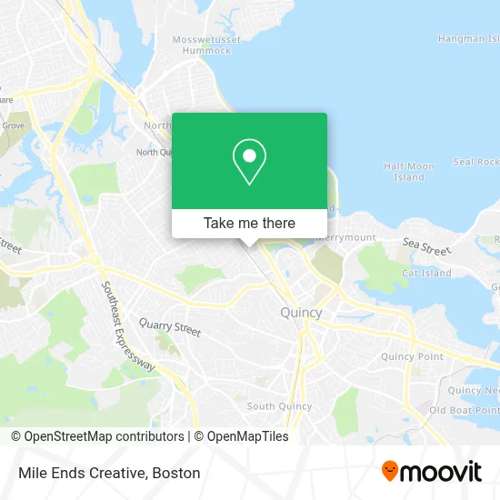
See Mile Ends Creative, Quincy, on the map
Public Transit to Mile Ends Creative in Quincy
Wondering how to get to Mile Ends Creative in Quincy? Moovit helps you find the best way to get to Mile Ends Creative with step-by-step directions from the nearest public transit station.
Moovit provides free maps and live directions to help you navigate through your city. View schedules, routes, timetables, and find out how long does it take to get to Mile Ends Creative in real time.
Looking for the nearest stop or station to Mile Ends Creative? Check out this list of stops closest to your destination: Newport Ave Opp Willow Ave; Hancock St @ Saint Anns Rd; Wollaston.
Bus: 210, 211, 217, 245.Train: FALL RIVER/NEW BEDFORD, GREENBUSH.Subway: RED LINE.
Want to see if there’s another route that gets you there at an earlier time? Moovit helps you find alternative routes or times. Get directions from and directions to Mile Ends Creative easily from the Moovit App or Website.
We make riding to Mile Ends Creative easy, which is why over 1.7 million users, including users in Quincy, trust Moovit as the best app for public transit. You don’t need to download an individual bus app or train app, Moovit is your all-in-one transit app that helps you find the best bus time or train time available.
For information on prices of bus, subway and train, costs and ride fares to Mile Ends Creative, please check the Moovit app.
Use the app to navigate to popular places including to the airport, hospital, stadium, grocery store, mall, coffee shop, school, college, and university.
Mile Ends Creative Address: 180 Old Colony Ave street in Quincy
- R.I.S.E. Worldwide,
- Family and Community R,
- Committee for Public Counsel Services,
- Dolo Barbershop,
- howard Johnson Quincy,
- Physical Therapy & Rehabilitation,
- Lockout Locksmith,
- Cantina Bar,
- Keohane Funeral Home,
- East Bay Summer Wind Ensemble,
- Law Offices of Ryan McFarland,
- Adams National Historical Park,
- Franklin G Stearns Attorney,
- John M Edwards Attorney,
- Peacefield,
- Jason Mitchell Group,
- Gavin Foundation / Gavin Quincy Ats / CSS,
- South Shore Council Churches,
- New Directions Counseling,
- Sen. Arthur H. Tobbin Towers
Places Near Mile Ends Creative (Quincy)
- Boston Children's Hospital, Boston,
- Massachusetts General Hospital, Boston,
- House Of Blues, Boston,
- Td Garden, Boston,
- North End, Boston,
- Boston Common, Boston,
- Boston Medical Center, Boston,
- Wang Theater, Boston,
- Castle Island, Boston,
- Museum Of Science, Boston,
- Boston Convention & Exhibition Center, Boston,
- Mgm Music Hall, Boston,
- Isabella Stewart Gardner Museum, Boston,
- Prudential Center, Boston,
- Seaport District, Boston,
- Faneuil Hall, Boston,
- Cheers, Boston,
- Leader Bank Pavilion (Leader Bank Pavillion), Boston,
- Wilbur Theatre, Boston,
- Quincy Market, Boston
How to get to popular places in Boston with public transit
Get around Quincy by public transit!
Traveling around Quincy has never been so easy. See step by step directions as you travel to any attraction, street or major public transit station. View bus and train schedules, arrival times, service alerts and detailed routes on a map, so you know exactly how to get to anywhere in Quincy.
When traveling to any destination around Quincy use Moovit's Live Directions with Get Off Notifications to know exactly where and how far to walk, how long to wait for your line, and how many stops are left. Moovit will alert you when it's time to get off — no need to constantly re-check whether yours is the next stop.
Wondering how to use public transit in Quincy or how to pay for public transit in Quincy? Moovit public transit app can help you navigate your way with public transit easily, and at minimum cost. It includes public transit fees, ticket prices, and costs. Looking for a map of Quincy public transit lines? Moovit public transit app shows all public transit maps in Quincy with all Bus, Train, Subway and Ferry routes and stops on an interactive map.
Boston has 4 transit type(s), including: Bus, Train, Subway and Ferry, operated by several transit agencies, including MBTA, Southeastern Regional Transit Authority, MetroWest Regional Transit Authority, Rhode Island Public Transit Authority, WRTA, Lowell Regional Transit Authority, Merrimack Valley Transit, Montachusett Regional Transit Authority, Cape Cod Regional Transit Authority, Brockton Area Transit Authority, Martha's Vineyard Transit Authority, the WAVE - Nantucket Regional Transit Authority, GATRA, Cape Ann Transportation Authority and Massport