Directions to Mindful Living Center (Boston) with public transportation
The following transit lines have routes that pass near Mindful Living Center
 Bus: 1, 32, 33, 35, 40.
- Train: PROVIDENCE/STOUGHTON, ACELA, NORTHEAST REGIONAL, PROVIDENCE LINE SHUTTLE, PROVIDENCE LINE SHUTTLE.
How to get to Mindful Living Center by bus?
Click on the bus route to see step by step directions with maps, line arrival times and updated time schedules.
How to get to Mindful Living Center by train?
Click on the train route to see step by step directions with maps, line arrival times and updated time schedules.
Bus stops near Mindful Living Center in Boston
Train stations near Mindful Living Center in Boston
- Providence, 28 min walk,VIEW
Bus lines to Mindful Living Center in Boston
What are the closest stations to Mindful Living Center?
The closest stations to Mindful Living Center are:
- Thayer Before Cushing is 92 yards away, 2 min walk.
- Pitman After Gano is 212 yards away, 3 min walk.
- Tunnel & Thayer (Before Thayer) is 220 yards away, 3 min walk.
- Tunnel & Thayer (After Thayer) is 229 yards away, 3 min walk.
- Providence is 2365 yards away, 28 min walk.
Which bus lines stop near Mindful Living Center?
These bus lines stop near Mindful Living Center: 1, 32, 33, 35, 40.
Which train line stops near Mindful Living Center?
PROVIDENCE/STOUGHTON (#819 | Providence)
What’s the nearest train station to Mindful Living Center in Boston?
The nearest train station to Mindful Living Center in Boston is Providence. It’s a 28 min walk away.
What’s the nearest bus station to Mindful Living Center in Boston?
The nearest bus station to Mindful Living Center in Boston is Thayer Before Cushing. It’s a 2 min walk away.
What time is the first train to Mindful Living Center in Boston?
The PROVIDENCE/STOUGHTON is the first train that goes to Mindful Living Center in Boston. It stops nearby at 4:10 AM.
What time is the last train to Mindful Living Center in Boston?
The NORTHEAST REGIONAL is the last train that goes to Mindful Living Center in Boston. It stops nearby at 9:17 AM.
What time is the first bus to Mindful Living Center in Boston?
The 78 is the first bus that goes to Mindful Living Center in Boston. It stops nearby at 5:43 AM.
What time is the last bus to Mindful Living Center in Boston?
The 1 is the last bus that goes to Mindful Living Center in Boston. It stops nearby at 11:26 PM.
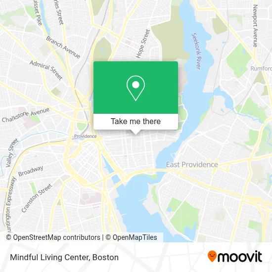
See Mindful Living Center, Boston, on the map
Public Transit to Mindful Living Center in Boston
Wondering how to get to Mindful Living Center in Boston? Moovit helps you find the best way to get to Mindful Living Center with step-by-step directions from the nearest public transit station.
Moovit provides free maps and live directions to help you navigate through your city. View schedules, routes, timetables, and find out how long does it take to get to Mindful Living Center in real time.
Looking for the nearest stop or station to Mindful Living Center? Check out this list of stops closest to your destination: Thayer Before Cushing; Pitman After Gano; Tunnel & Thayer (Before Thayer); Tunnel & Thayer (After Thayer); Providence.
Bus: 1, 32, 33, 35, 40, 92, 34, 61X, 78.Train: PROVIDENCE/STOUGHTON, ACELA, NORTHEAST REGIONAL, PROVIDENCE LINE SHUTTLE, PROVIDENCE LINE SHUTTLE, PROVIDENCE LINE SHUTTLE, FOXBORO EVENT SERVICE.
Want to see if there’s another route that gets you there at an earlier time? Moovit helps you find alternative routes or times. Get directions from and directions to Mindful Living Center easily from the Moovit App or Website.
We make riding to Mindful Living Center easy, which is why over 1.7 million users, including users in Boston, trust Moovit as the best app for public transit. You don’t need to download an individual bus app or train app, Moovit is your all-in-one transit app that helps you find the best bus time or train time available.
For information on prices of bus and train, costs and ride fares to Mindful Living Center, please check the Moovit app.
Use the app to navigate to popular places including to the airport, hospital, stadium, grocery store, mall, coffee shop, school, college, and university.
Mindful Living Center Address: 148 Waterman St street in Boston
- National Alliance on Mental Illness of Rhode Island (Nami Rhode Island),
- The Sweeney Advisory,
- Giancarlo Plaza,
- Wachtenheim Marion,
- Burkhard Jeannie,
- Spencer C Jody,
- Bonnie Steinberg MD,
- Jelley Graham,
- BCX Energy,
- College Hill, Rhode Island,
- Sternlicht Commons,
- MoneyGram,
- Brown University,
- 1010 Studios PVD,
- Sydney Cafe,
- Michael R Burkart,
- Harambee House,
- Barbara Harris Squire,
- Performing Arts Center Site,
- USPS
Places Near Mindful Living Center (Boston)
- Wilbur Theatre, Boston,
- Boston Convention & Exhibition Center, Boston,
- Castle Island, Boston,
- Cheers, Boston,
- Boston Common, Boston,
- Isabella Stewart Gardner Museum, Boston,
- Museum Of Science, Boston,
- Td Garden, Boston,
- House Of Blues, Boston,
- Boston Medical Center, Boston,
- North End, Boston,
- Quincy Market, Boston,
- Faneuil Hall, Boston,
- Prudential Center, Boston,
- Mgm Music Hall, Boston,
- Seaport District, Boston,
- Boston Children's Hospital, Boston,
- Wang Theater, Boston,
- Massachusetts General Hospital, Boston,
- Leader Bank Pavilion (Leader Bank Pavillion), Boston
How to get to popular places in Boston with public transit
Get around Boston by public transit!
Traveling around Boston has never been so easy. See step by step directions as you travel to any attraction, street or major public transit station. View bus and train schedules, arrival times, service alerts and detailed routes on a map, so you know exactly how to get to anywhere in Boston.
When traveling to any destination around Boston use Moovit's Live Directions with Get Off Notifications to know exactly where and how far to walk, how long to wait for your line, and how many stops are left. Moovit will alert you when it's time to get off — no need to constantly re-check whether yours is the next stop.
Wondering how to use public transit in Boston or how to pay for public transit in Boston? Moovit public transit app can help you navigate your way with public transit easily, and at minimum cost. It includes public transit fees, ticket prices, and costs. Looking for a map of Boston public transit lines? Moovit public transit app shows all public transit maps in Boston with all Bus, Train, Subway and Ferry routes and stops on an interactive map.
Boston has 4 transit type(s), including: Bus, Train, Subway and Ferry, operated by several transit agencies, including MBTA, Southeastern Regional Transit Authority, MetroWest Regional Transit Authority, Rhode Island Public Transit Authority, WRTA, Lowell Regional Transit Authority, Merrimack Valley Transit, Montachusett Regional Transit Authority, Cape Cod Regional Transit Authority, Brockton Area Transit Authority, Martha's Vineyard Transit Authority, the WAVE - Nantucket Regional Transit Authority, GATRA, Cape Ann Transportation Authority and Massport